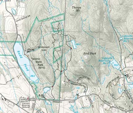
It appears that the property boundaries on the 2002 BNRC map are now very out of date on that end of the plateau.
[EDIT:] None of the below in this post came to anything, except for the growing realization that there is a lot less private property in this general area now than there used to be.
If TNC allows unfettered hiking access to its property here (I am a member but I haven't been attentive to their policies) then private property as a restriction to my interest here is less a problem than I had thought. It looks, for example, like that entire path/woods road we've been talking about west of the jug End Loop Trail is legal, and _if_ there is access from that path to the north, there is NO blocking private property high on Mt. Sterling's eastern flank.
And on my ideal potential route, from the westernmost point of the Jug End Loop Trail up to pass between Sterling and Whitbeck, there is less off-limits blockage to skirt around (looks like there is a fracking housing development though).
[EDITED TO ADD: Yeah. Though the on-line dcr map shows the entire area as Reservation, there is a sprawling slum development set into the hillside. It's been there awhile and shows on most other maps, including the 2008 dcr map (which is the version available in the Trail parking lot; this version of the map, however, shows a much larger off-Reservation block than actually occupied by the slum, and much larger than the private property block shown on other current maps). You either have to skirt around the actual buildings to the left (south), which I have done with some success, or cross over the access road to the right (north) of the buildings and then head across the meadows and plan your ascent into the woods ahead. You are probably on private property for the moment you cross the road; but there are no buildings at that point, not even close. So cross quickly.]
Also, much more of the eastern access to Mt. Fray is in play than I was seeing on my maps, if I can get that far.
Very encouraging; thanks for the info!!

