Technetium
New member
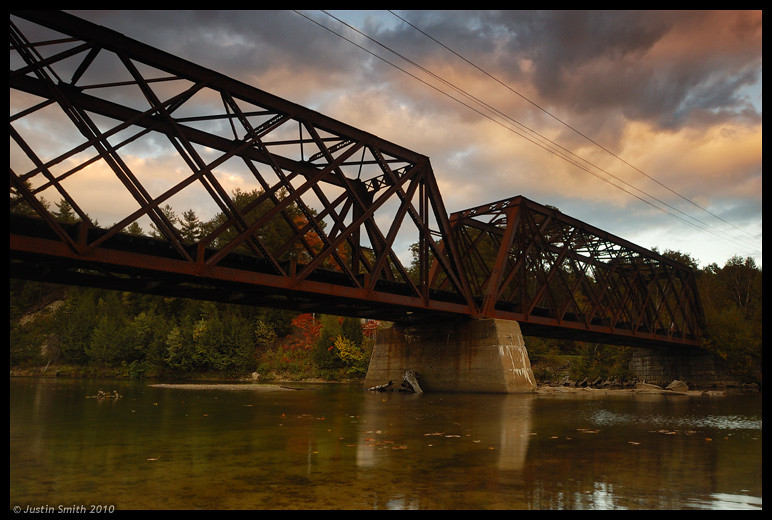
It is a rail bridge is located here (google maps):
http://maps.google.com/maps?f=q&sou...964,-71.662477&spn=0.005523,0.009645&t=h&z=17
I saw this bridge heading north on Rt 93, near the town of Thornton. I-93 and the rail bridge both cross the Pemigewasset River here, with the river running E-W and the bridges running N-S. It's in the general White Mountains area but the land is not actually in WMNF.
I'm just curious if anyone knows if this area is completely off-limits, or if it is okay to get to this place. I'm not even sure where I would park. The reason I want to get here is that I think it will make a fantastic photo at the right time of day. I'm mainly looking to get to a spot on the side of the river just east of I-93, with the rail bridge to the east of me.

