Jimmy Legs and Little D
New member
Our morning began by eating a high complex carbohydrate breakfast of freshly cooked oatmeal; granola, muffins and English muffins; all prepared by our hosts at the Lodge at Jackson Village.
We’ve been eagerly awaiting this hike to South Carter and Carter Dome for some time. It would be bitter sweet, in that we will be adding two more of the White Mountain 4,000 footers to our list; but, alas this would be our last hike in the White Mountains until our next visit in February.
Our journey started with the traditional photo op at the 19 Mile Brook Trail around 8:30 am.
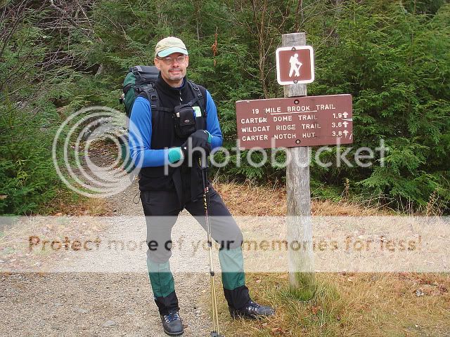
The air was crisp and we were raring to go. Off we went after paying our $3 trail fee.
There was only one other vehicle in the parking lot.
At the junction with the Carter Dome trail we fueled up once more with ham sandwiches and again took the “traditional” photo by the trail sign.
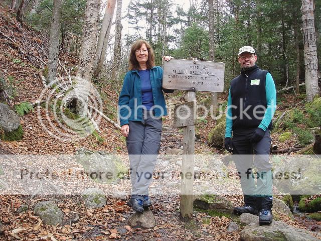
We were surprised to see that we had reached this junction 25 minutes under book time. As we were gearing up to continue our trek, along came a fellow hiker, Dave Sullivan from Boston. We chatted a bit about hiking alone, equipment and other subjects. Mike took a photo of him with his camera and off we went: Dave continuing up the 19 Mile Brook Trail and us heading towards Zeta Pass, 1.7 miles ahead.
Stopping only for a short time at Zeta Pass, we continued onward towards Carter Dome.
Now heading South on the Carter Moriah Trail, which is also part of the Appalachian Trail, the path was lit up by sunlight.
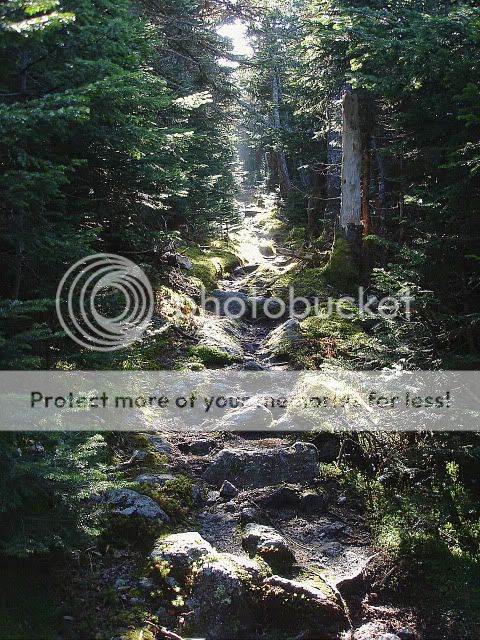
Seeing the various sign posts along the way silently encouraged us onward and after 5 miles and 5 hours we reached the viewless summit of Carter Dome.
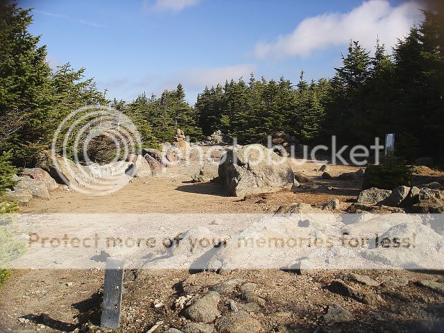
Just before leaving the summit, two other hikers, Rick and George, whose vehicle we saw at the trailhead parking lot came up from the South. We talked awhile, took their photos (with their cameras) and told them we couldn’t decide whether to do Mt. Hight or to head straight towards South Carter. We weighed the options and figured we might as well do it, since it would only add an additional 4/10 mile to the total mileage. We hiked Mt. Hight two winters ago and knew that there would be outstanding 360 degree views.
Leaving the summit we noticed to our left an open area where I took this photo of Mount Hight.

Reaching Mount Hight at 1:40 pm we took several photos.

View of Mount Washington.

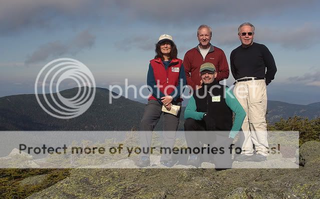
When George and Rick arrived I set up my camera on the tripod and shot this group photo.
The view towards South Carter, our final peak of this trip (taken from viewpoint on Carter Dome).

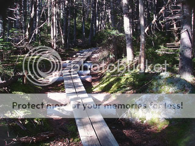
Heading North along the Carter/Moriah trail, just past Zeta Pass we encountered a series of log bridges which lessened the impact on the marshy landscape.
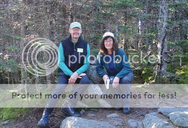
We reached the viewless summit of South Carter at 3 pm.
Heading back down after a short stay on the summit we saw this toad crawling in the fallen leaves along the trail. I would have thought this guy would have been hibernating by now.

We completed the hike by arriving back at the parking area along Rt. 16 at 5:45pm.
We now have 31 four thousand footers completed and hope to do more this winter.
Goodbye for now and good hiking.
Mike and Donna (aka: Jimmy Legs and Little d)
We’ve been eagerly awaiting this hike to South Carter and Carter Dome for some time. It would be bitter sweet, in that we will be adding two more of the White Mountain 4,000 footers to our list; but, alas this would be our last hike in the White Mountains until our next visit in February.
Our journey started with the traditional photo op at the 19 Mile Brook Trail around 8:30 am.

The air was crisp and we were raring to go. Off we went after paying our $3 trail fee.
There was only one other vehicle in the parking lot.
At the junction with the Carter Dome trail we fueled up once more with ham sandwiches and again took the “traditional” photo by the trail sign.

We were surprised to see that we had reached this junction 25 minutes under book time. As we were gearing up to continue our trek, along came a fellow hiker, Dave Sullivan from Boston. We chatted a bit about hiking alone, equipment and other subjects. Mike took a photo of him with his camera and off we went: Dave continuing up the 19 Mile Brook Trail and us heading towards Zeta Pass, 1.7 miles ahead.
Stopping only for a short time at Zeta Pass, we continued onward towards Carter Dome.
Now heading South on the Carter Moriah Trail, which is also part of the Appalachian Trail, the path was lit up by sunlight.

Seeing the various sign posts along the way silently encouraged us onward and after 5 miles and 5 hours we reached the viewless summit of Carter Dome.

Just before leaving the summit, two other hikers, Rick and George, whose vehicle we saw at the trailhead parking lot came up from the South. We talked awhile, took their photos (with their cameras) and told them we couldn’t decide whether to do Mt. Hight or to head straight towards South Carter. We weighed the options and figured we might as well do it, since it would only add an additional 4/10 mile to the total mileage. We hiked Mt. Hight two winters ago and knew that there would be outstanding 360 degree views.
Leaving the summit we noticed to our left an open area where I took this photo of Mount Hight.

Reaching Mount Hight at 1:40 pm we took several photos.

View of Mount Washington.

When George and Rick arrived I set up my camera on the tripod and shot this group photo.

The view towards South Carter, our final peak of this trip (taken from viewpoint on Carter Dome).

Heading North along the Carter/Moriah trail, just past Zeta Pass we encountered a series of log bridges which lessened the impact on the marshy landscape.

We reached the viewless summit of South Carter at 3 pm.

Heading back down after a short stay on the summit we saw this toad crawling in the fallen leaves along the trail. I would have thought this guy would have been hibernating by now.

We completed the hike by arriving back at the parking area along Rt. 16 at 5:45pm.
We now have 31 four thousand footers completed and hope to do more this winter.
Goodbye for now and good hiking.
Mike and Donna (aka: Jimmy Legs and Little d)
