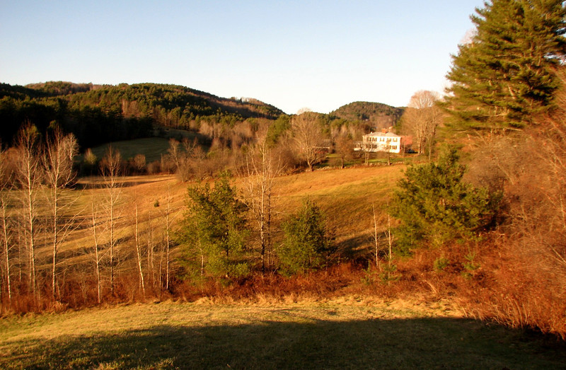
Cross Rivendell Tr-Vermont 12/1/11

vftt.org

Help Support vftt.org:

This site may earn a commission from merchant affiliate links, including eBay, Amazon, and others.

grouseking

Well-known member
Joined
Feb 20, 2005
Messages
2,023
Reaction score
272
Location
Lebanon, NH Avatar: Philosopher?
West Fairlee, VT
Picture-049-L.jpg


I took a trip along the recently constructed Cross Rivendell trail through the towns of Vershire, and West Fairlee, VT, about 11 miles in total. The trail used logging roads, old woods roads, constructed hiking trails, main roads, and dirt roads. The trail is blazed in blue, and while there are some areas with some peculiar blazing (too much, or too little), this is a great trail to hike along. We need more trails like this across New England.

The night before the hike, I developed a sore throat, and for a little bit, I thought about just scrapping the hike and relaxing. But it takes a lot more than a sore throat to keep me off the trails. That, plus the fact that I couldn't fall back asleep, got me out of bed and getting ready for the day. I hiked about 11 miles Thursday, from Parker road in Vershire, to Bloodbrook Rd in Fairlee. By 9:20am, I was off and running.

Pics

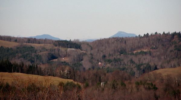
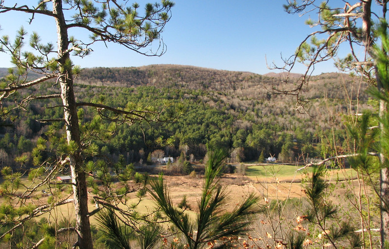
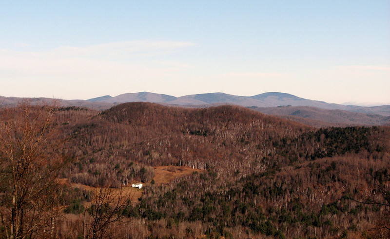
Not entirely sure, but these kind of look like the Signal Mtn area
Picture-008-L.jpg


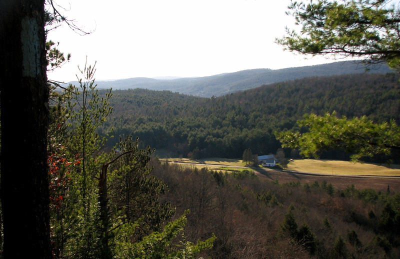
and I think this is Camels Hump
Picture-009-M.jpg


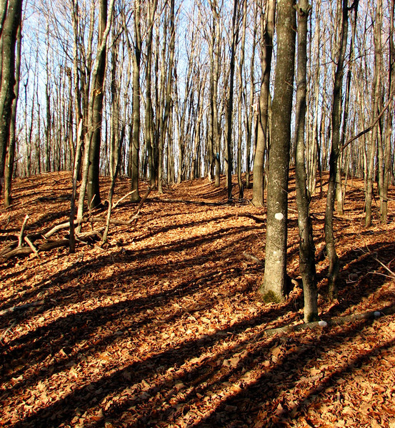
The above views about 8/10 mi into the day were a pleasant surprise, because views were not the rule of the day. The norm for the first 5 miles were hardwoods, long shadows, leaves, and mud underneath those leaves. I took a tumble or two thanks to that mud.
Picture-015-L.jpg


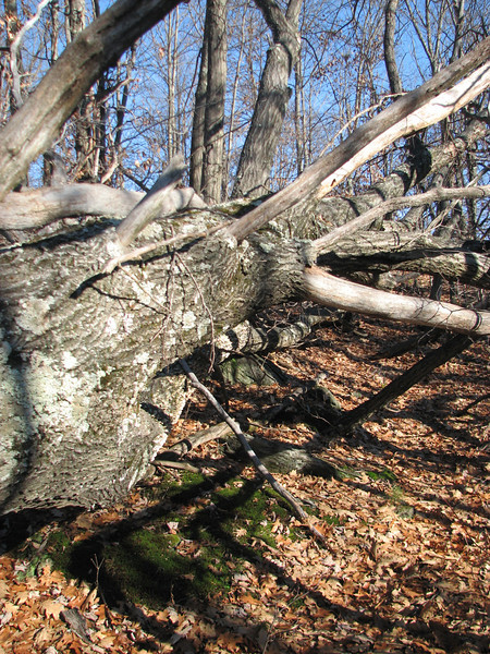
tough to really judge, but this is one of the largest blowdowns I have ever seen...it laid right along the trail, and was difficult to navigate around
Picture-026-L.jpg


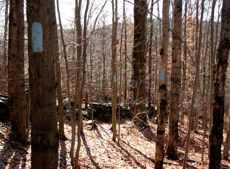
Perfect example of the peculiar blazing...I count 7 blazes in view right there.
Picture-034-L.jpg


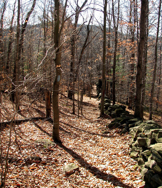
heading downhill along the stone wall towards west fairlee
Picture-036-L.jpg


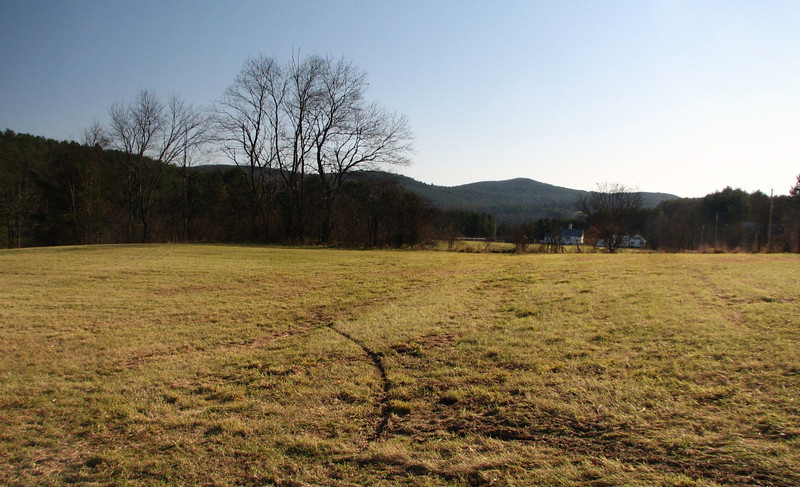
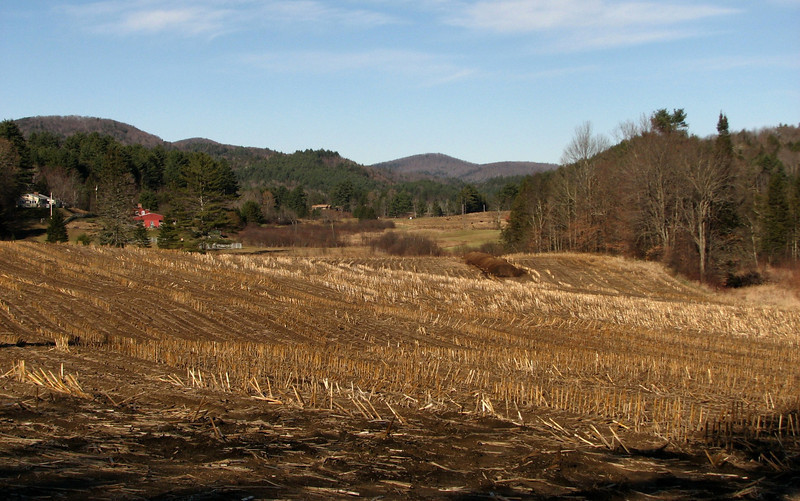
Walking thru a field near Middlebrook rd in Fairlee
Picture-072-L.jpg


Picture-076-L.jpg


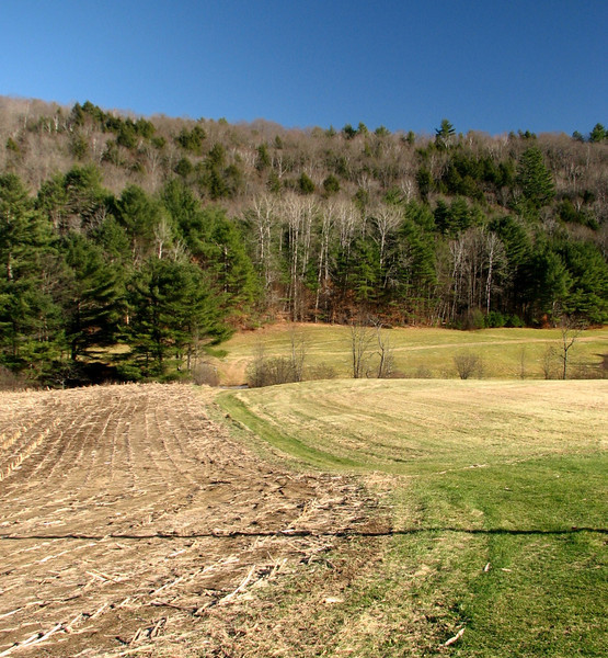
Not a really scenic pic, but the blue was just awesome
Picture-074-L.jpg


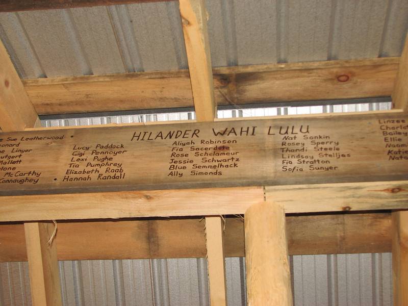
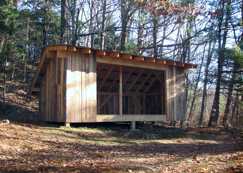
Climbing up another hill, I came across a neat shelter, which was unexpected.
Picture-083-L.jpg


hmmmmmm
Picture-084-L.jpg


cont in a min
 
Trail blazing is one of those things that you'd think would be easy to do, but when you try to do it, it turns out there's a little bit more thought and effort involved than you realize. :) Finding a good middle ground between minimum visual impact and maximum reassurance that you are still on the trail is surprisingly not always the easiest thing to do!
 
some more

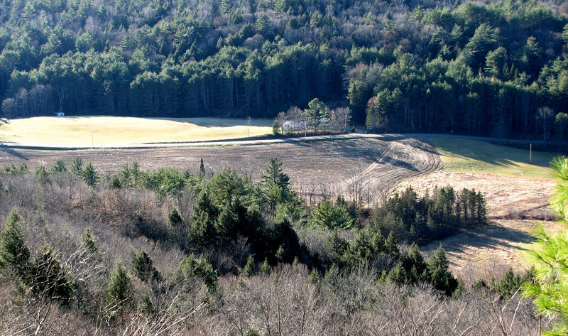
Just past the shelter, there were a few views, which I consider some of the best of the day, because there was a sheer drop off right below my feet.

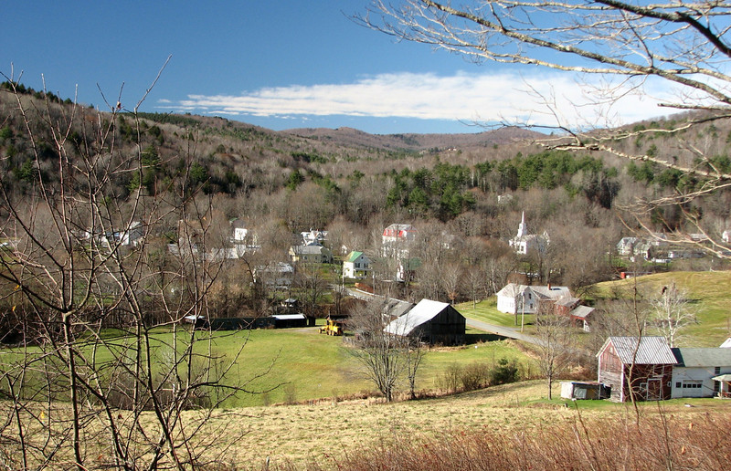
Looking across the Middle Brook valley, I was on that hill earlier
Picture-085-L.jpg


Picture-091-L.jpg


If you look to the right of the house across that road, you can see a little spec of blue...thats where the Cross Rivendell trail came out to the road...kinda neat
Picture-094-L.jpg


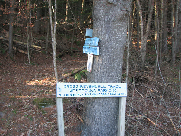
a close up of that sign
Picture-068-M.jpg


The trail then headed down into another stream valley, and then followed an old woods road called King Hill Rd.

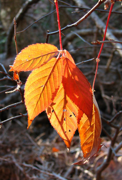
I declare that this my final fall foliage picture of the season.
Picture-108-L.jpg


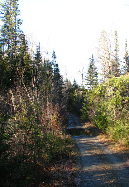
King hill rd had a feel of areas further north, with the balsam fir trees lining the way. I was hoping for a chance encounter with a moose.
Picture-110-L.jpg


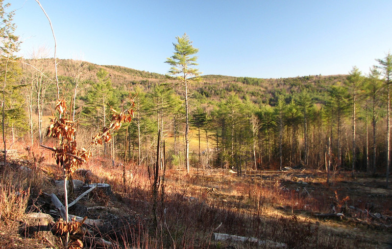
Finally, the trail took a right turn, and paralleled a snowmobile trail for awhile, then went back into hiking trail mode, zig zagging up and down some hills, through hemlocks, and hardwoods, till I reached what appeared to be a logged, or possibly burned section. It was here that I saw a huge whitetail deer. Good thing I hiked on day where there was a gap between the hunting season (although I did hear distant gun shots).

Saw the deer not a minute after I took this pic
Picture-114-L.jpg


I ended up seeing the deer one more time, about 10 min later, near the edge of the woods. It is amazing how effortlessly they can run through the brush. I could have taken a picture, but I watched in awe how easily it bounced along.

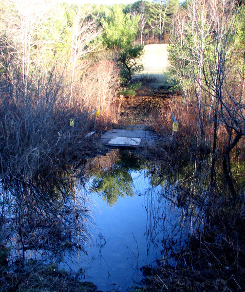
By now, the trip had been relatively easy...as easy as an 11 mile hike can be. Then, I came to a flooded out section! In the back of the photo, you can see the road....

Picture-122-L.jpg


Water was much deeper than it looks here, so it took a good 15 min to find a narrower part of the stream to jump across. Darn beavers! It was at this time I wished I was that deer....I am less than graceful when I have to jump.

Waiting for my ride, I got a couple of golden looking shots. Man it really gets dark early....taken at 3:30ish
Picture-124-L.jpg


Picture-126-L.jpg


Hope you enjoyed my report. If you live in the upper valley, check out the Cross Rivendell trail. Just make sure you keep your eye open on the blazes, because it can be funky to follow sometimes.

http://grouseking.smugmug.com/Vermont/2011/Cross-Rivendell-tr/20382597_RTDfJQ#1612801437_dSCM7Zt
 
Trail blazing is one of those things that you'd think would be easy to do, but when you try to do it, it turns out there's a little bit more thought and effort involved than you realize. :) Finding a good middle ground between minimum visual impact and maximum reassurance that you are still on the trail is surprisingly not always the easiest thing to do!

I agree...in fact there were times along the hike that I was thinking about that, and I thought maybe I am just being too overcritical.

But, of the five times I have hiked along sections of the Cross Rivendell trail, I walked off the trail five times, and twice I got lost. Yesterday I briefly walked off it, but from past experience I realized I wasn't on it pretty quickly, and turned around to find the trail. I eventually found it, but not before having to walk up along a faint path to realize there was a blaze about 150 feet away.

Maybe this trail is just my achilles heel I don't know. :) What I noticed yesterday, was that lots of times the blazes were painted on a tree, which would lead a hiker to believe that the trail goes slight left, but in reality it goes slight right. The placement of the blazes could have been better. Sometimes they were at my waist level, and sometimes it looked like someone used a ladder. It was kind of a free for all. Now that being said, it kept me on my toes, so I didn't get sensed into any lull, or hiking with tunnel vision, and that is a good thing.

One more example....this is more of a personal opinion. When the trail doubles as a snowmobile path, or some other wide roads road, there should be more blazes than they had. Yes, they are very easy to follow, of course. But two times that I lost the trail was when the Cross Rivendell stops following the snowmobile trail and "goes back into the woods" on its own trail. Usually there is a sign, but sometimes not.

I normally don't lose the trail, but for some reason this one is a challenge to me.
 
One more ex of peculiar blazing...

Like the pic I posted of the 7 blazes in 10 feet....lots of the trail did have lots of blazing, sometimes every other tree. Then, there would be a section with almost no blazing. So then I start to think...."hmm, I just crossed three woods roads, am I still on the main trail?" I turn around, and see no blazing in the other direction. So then I walk a little bit further, and see a blaze painted on the side of the tree that makes it look like the trail goes left, but it really goes straight.

My opinion with trail blazing is that less is better..but when you go from too much blazing to too little blazing, it makes it tough sometimes.

Ok that's my opinion and I'm stickin' to it. :)
 
Nice Report, Phil!
I really enjoyed that section of trail when I did it a year or so ago.

An interesting tidbit: The CRT is the longest official blue-blazed side trail on the entire AT.

Isn't the Middlebrook Valley a special place?! In a way, it is like taking a step back in time.

I'll share your report with the CRT coordinator. I imagine he already knows about the flooding, but it can't hurt to send this along.
 
The general rule of thumb is that you stand next to a tree that is blazed, you should be able to see the next blaze further down the trail, but none beyond that. So often times, when blazes are being put up (paint or markers), the person doing so will look down the trail, pick the furthest tree that they can see that would be a good spot for a blaze.

This is just a rule of thumb though, and there are exceptions. Trails that are highly impacted already and easy to follow, such as well used popular trails or trails that follow old roads, don't need nearly as many blazes. It's ok on these types of trails if there isn't always a blaze in sight. In contrast, on trails that have a low level of impact due to low levels of use, it's ok if you have more than 1 blaze in site, since they might not be easy to spot from far distances.

Certainly, when trails are blazed, they need to follow a set standard, which it sounds like the CRT is lacking. Improper blazing techniques leads to confusion amongst hikers, and confusion amongst hikers leads to higher levels of backcountry impact, as they retrace their steps back and forth to make sure they are navigating the trail correctly.

I once encountered a guy on the Northville Placid Trail in the Adirondacks who'd retraced his steps a full mile because he'd thought he made a wrong turn. The trail north of Cedar Lakes follows an old road, and is quite obvious- but there hadn't been a single marker in that entire mile. Certainly a case where there were too few markers, despite the trail being highly impacted!

How new is the CRT? Also, is it shown on the National Geographic maps?
 
How new is the CRT? Also, is it shown on the National Geographic maps?

It is about 10 years old. Its primary reason for coming into being was to unite a large rural school district which spans two states. The trail crosses the entire district west to east, and passes each school along the way. The students at each school use the trail as an outdoor classroom.

Not sure about NatGeo.
 
There is a Cross Vermont Trail (CVT) that is partially off-road and part on for cyclists.

http://www.crossvermont.org/

Runs from Burlington to Wells River and I was hoping to take a nice bike ride from the Berkshires to around Peacham, VT and utilize parts of it but Irene had other plans so it's in the burner for perhaps next year.

Jay
 
grouseking, your trip reports are quite unique in that you seek out interesting places, not necessarily high peaks, or even smaller peaks for that matter. This looks like a terrific hike through picturesque terrain that I wouldn't normally consider visiting. But now I really want to.

Excellent and intriguing, as are all of your trip reports. Thanks so much for sharing.
 
It is about 10 years old. Its primary reason for coming into being was to unite a large rural school district which spans two states. The trail crosses the entire district west to east, and passes each school along the way. The students at each school use the trail as an outdoor classroom.
It was the brainchild of a friend of mine, who lives in Vershire. I helped on some of the trail layout and a few days of cutting back when it started up. The folks that maintain the trail are new to the whole thing and a lot of kids are involved, so the quality of the work varies a bit. As the trailbed gets more worn in over time hopefully the blazing won't be as much of an issue.
 
grouseking, your trip reports are quite unique in that you seek out interesting places, not necessarily high peaks, or even smaller peaks for that matter. This looks like a terrific hike through picturesque terrain that I wouldn't normally consider visiting. But now I really want to.

Excellent and intriguing, as are all of your trip reports. Thanks so much for sharing.

Thanks bjc. There are so many more things than the higher peaks, and I like to experience it all. If I can kick this cold, I will hike another section of the trail this week, but I may have to wait a bit. But I like these types of hikes because I am not huffing and puffing so much that I'm not paying attention to my surroundings. Sometimes I need a butt kicking steep hike, but usually, I like to wander on easier terrain. Thursday fit the bill.

It was the brainchild of a friend of mine, who lives in Vershire. I helped on some of the trail layout and a few days of cutting back when it started up. The folks that maintain the trail are new to the whole thing and a lot of kids are involved, so the quality of the work varies a bit. As the trailbed gets more worn in over time hopefully the blazing won't be as much of an issue.

Well that explains it. Now I feel like a butthead...being so critical about things...haha. I can tell you that it won't stop me from finishing up hiking the trail.

Truly excellent . . . wonderful photos and terrific report!

Thanks John! As usual, I had fun!
 
Top