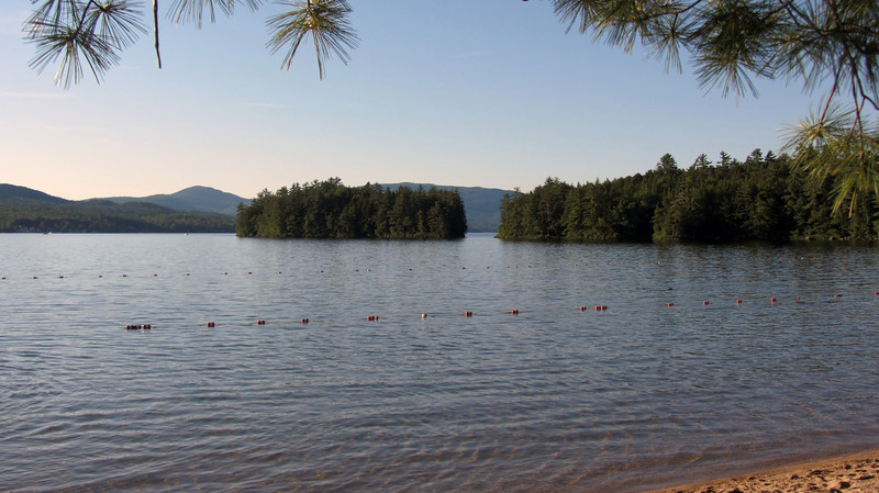
Elwell Trail...another side of Cardigan

vftt.org

Help Support vftt.org:

This site may earn a commission from merchant affiliate links, including eBay, Amazon, and others.

grouseking

Well-known member
Joined
Feb 20, 2005
Messages
2,023
Reaction score
272
Location
Lebanon, NH Avatar: Philosopher?
The Elwell trail starts close to Wellington State Park on Newfound Lake, and winds its way to the Mowglis trail a couple miles north of the summit of Cardigan. Years ago I checked out the Sugarloaves section of the Elwell Tr along the lake, and since then I've been wanting more. So, here is my story of attempting to thru hike the entire trail, from west to east.

The day started in a dumb way...my alarm didn't go off, so I ended up sleeping over an hour later than I originally planned. But I felt so refreshed that I figured I really needed the sleep for the hike, and that everything would work out in the end. I started up the West Ridge tr for Cardigan around 10:20am...about 80 min later than I had hoped. Still, I made pretty good time up to the summit (for me). I did 1.5 miles in about 50 min.

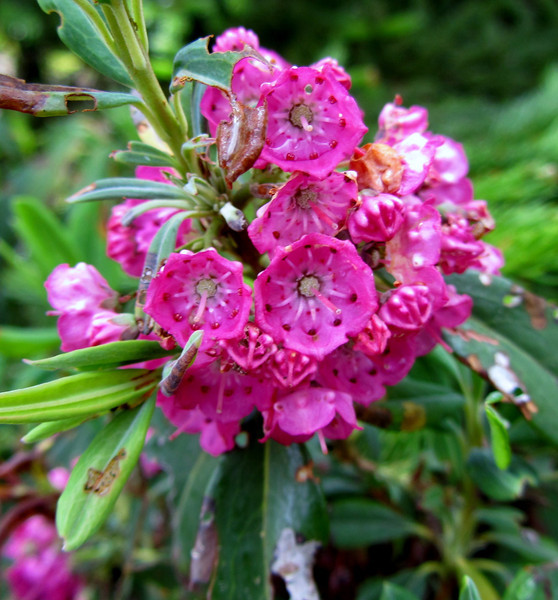
Yay for summer subalpine flowers
IMG1847-L.jpg


IMG1851-L.jpg


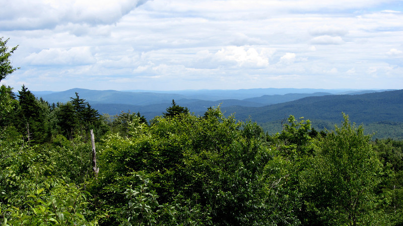
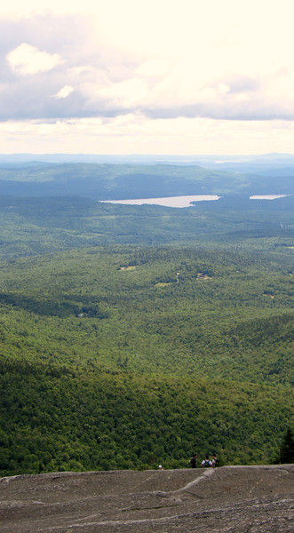
A long way to go to Newfound Lake...even as the crow flies....
IMG1857-L.jpg


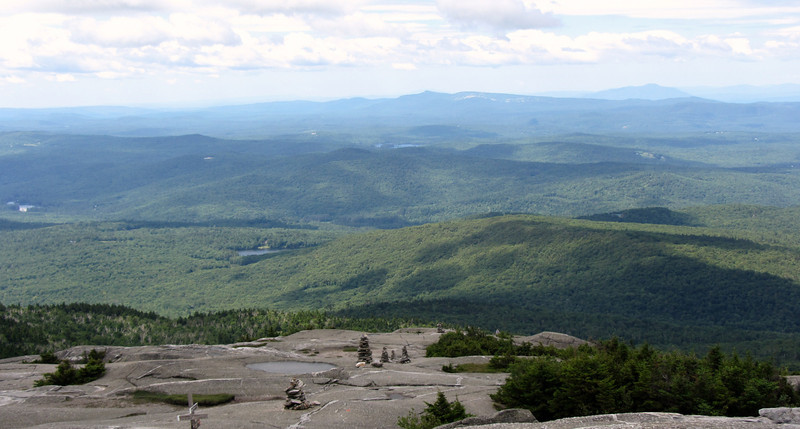
A look back to how I got up to the summit.
IMG1859-L.jpg


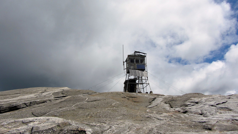
So, off I went, down the steep Mowglis trail off the summit cone towards Firescrew, and then beyond.

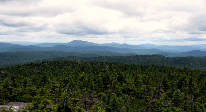
From the summit of Firescrew. So many great views around its ledges...
IMG1874-L.jpg


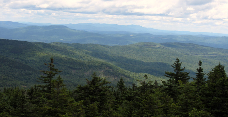
The Elwell trail follows down the ridge closest
IMG1884-L.jpg


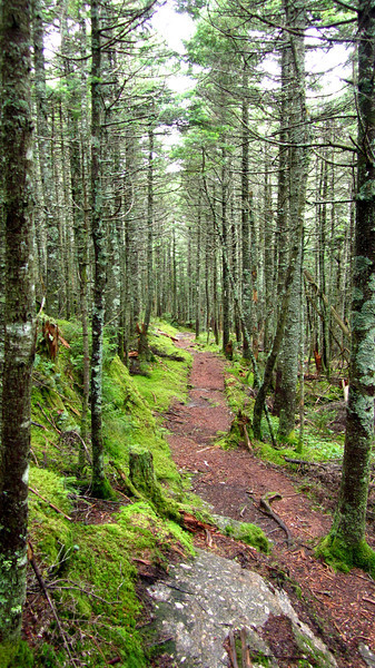
So from now on, it was new territory. I continued down the Mowglis Trail, which turned into a quiet, wild feeling trek. There were more moose tracks and droppings than human influence, thats for sure!

A green, peaceful section.
IMG1882-L.jpg


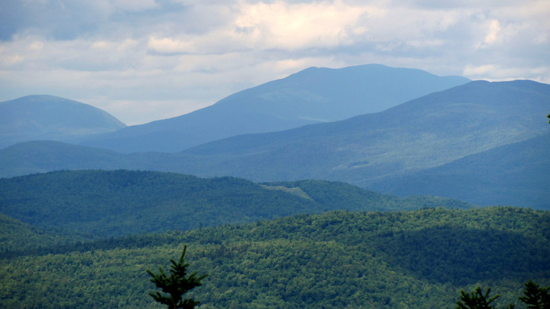
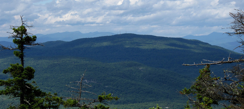
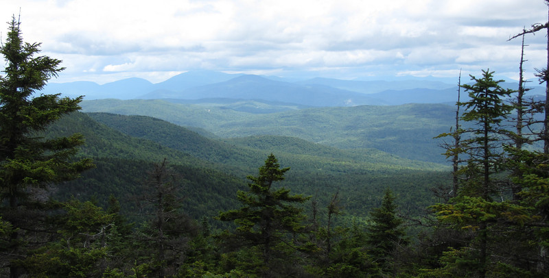
Occasional views up towards the Moosilauke region.
IMG1888-L.jpg


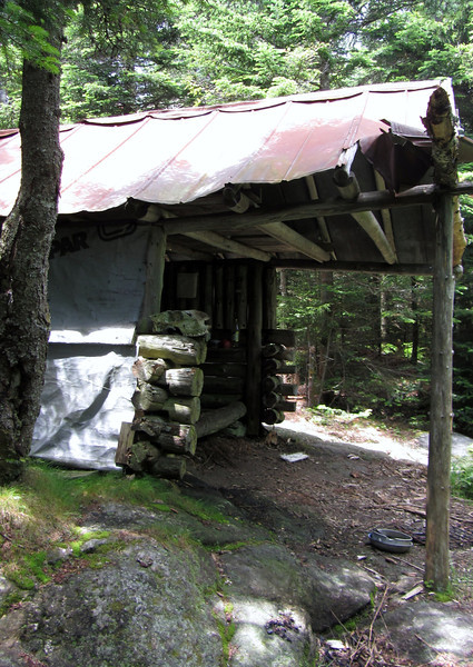
I stumbled upon Crag Shelter, which was right along the trail. I'm not sure if I would want to stay here, because I didn't see any signs of water.
IMG1892-L.jpg


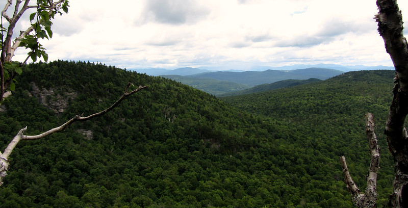
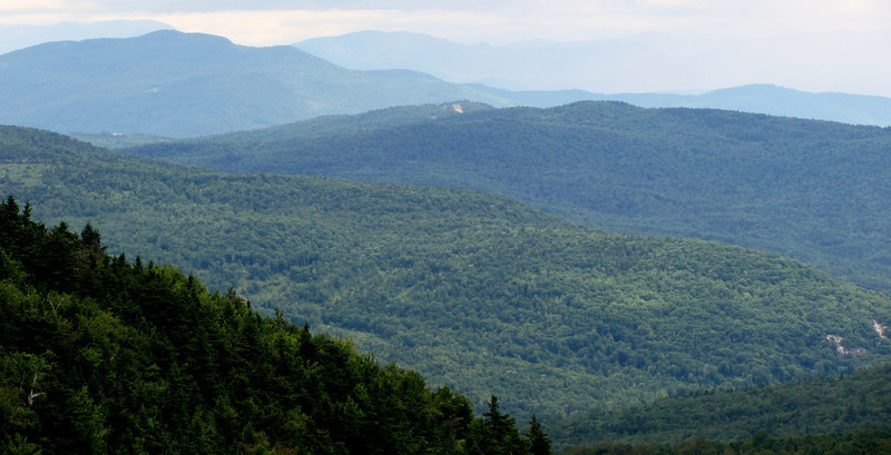
Before reaching the Elwell Trail, I took a short side path (which in some places was more like a bushwhack) to Hanging Rock. The views from here were really nice...looking at Mowglis Mtn, and Oregon Mtn, near and along the Elwell Trail.
IMG1896-L.jpg


I think that is Plymouth Mtn in the upper left
IMG1900-L.jpg


cont in a minute, with the Elwell trail
 
Elwell trail-new things, and where the trip goes wrong.

I hit the Elwell trail next. I was making decent time, but it was already towards 12:40pm, so I didn't really have time to dawdle. This theme would continue the rest of the afternoon and was probably the main reason I made a wrong turn (more on that later!). I had several maps with me, along with a description of the trail, so I felt quite prepared, and ready to tackle a long trail...10.4 miles.

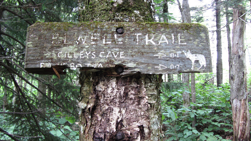
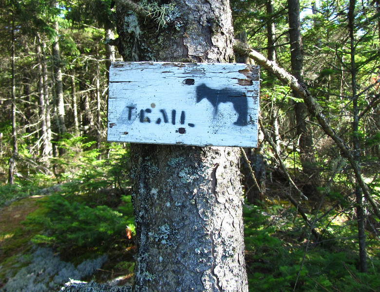
Old school sign
IMG1902-L.jpg


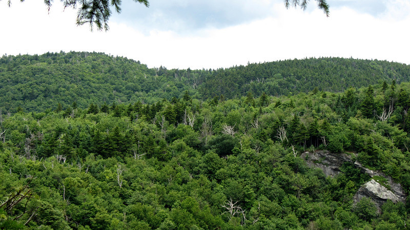
Small view point close to the beginning of the trail...kind of a sketchy place to stand. I believe that is hanging rock on the right.
IMG1901-L.jpg


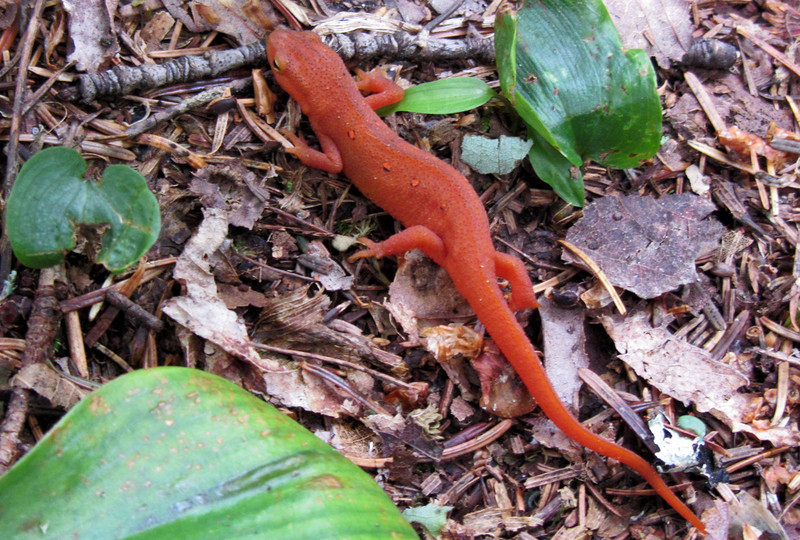
How about a red eft?
IMG1910-L.jpg


Some nice ledges, where I took a snack break...
IMG1924-L.jpg


It was at the above viewpoint that I consulted the map and decided to amend my trip a little bit. I decided to take the Oregon Mtn trail, which eventually led back to the Elwell trail. This didn't shorten my trek, but it did avoid what appeared to be a significant up and down along the Elwell. I was sucking wind at this point, so I wanted an easier walk for a bit, at least topo wise. I read that the Oregon Mtn trail had to followed with care, but I was up for the challenge.

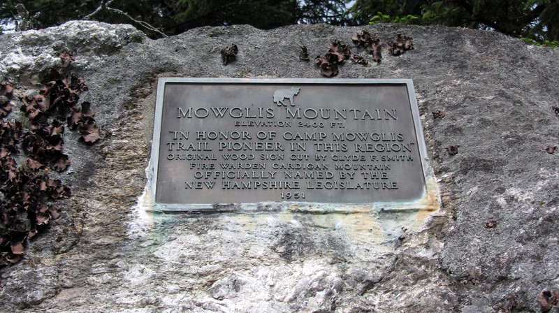
First, I made it to Mowglis Mtn, which had this cool plaque.
IMG1928-L.jpg


A few steps later, I was on the Oregon Mtn trail. I was very happy with my choice to take this trail. Yes, it is occasionally kind of tough to follow, but as long as you are watching where you are going, you shouldn't have any problems. I was also very happy to spy this great view of Moosilauke right off the trail about 1/2 mile in.

IMG1931-L.jpg


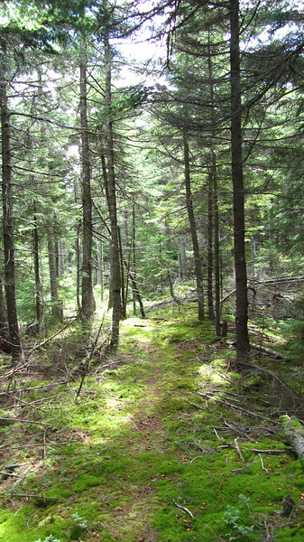
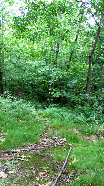
Trail example: So green, and so soft on my aching feet!
IMG1934-L.jpg


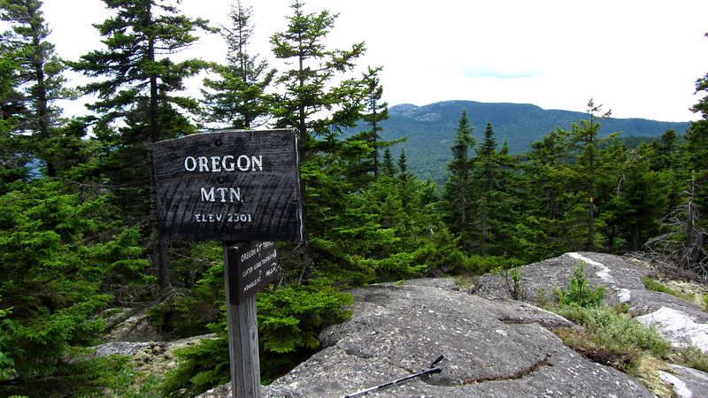
Before long, I made it to the summit, which didn't have much of a view, but it was an interesting vantage of Cardigan. I sat and ate here, while the deer flies and mosquitoes also had me for lunch.
IMG1937-L.jpg


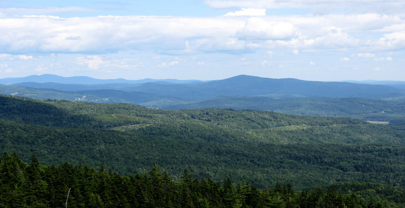
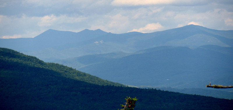
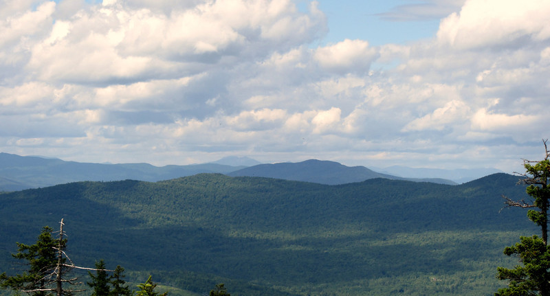
After a bit of rest, and check in, it was time to keep going. Not to far down, I reconnected with the Elwell tr, and soon therafter I came across some great ledges with awesome views.

IMG1945-L.jpg


IMG1959-L.jpg


I spy Franconia Ridge
IMG1958-L.jpg


IMG1960-L.jpg


Wrapping things up in Part 3...
 
Wrappin it up...

So I continued down the trail, towards the powerlines. I figured I had a good 3 miles till I made it to them. This section of trail was definitely the hardest part to follow. I didn't really have much trouble, but care was definitely needed. I was also extremely tired by this section, and that was slowing my down a bit. The area was fairly well blazed, but the trail corridor has nearly gone in areas. It might actually be easier to follow in late April/early May before the leaves come back. I didn't take too many pics in this section cause I was trying to make up some time..but here is one ex of the trail, visible
IMG1969-L.jpg


Old Camp Mowglis sign, cool I'm still following the trail.

IMG1970-L.jpg


And now a trail that branches off. Cool, I still know where I am!
IMG1973-L.jpg


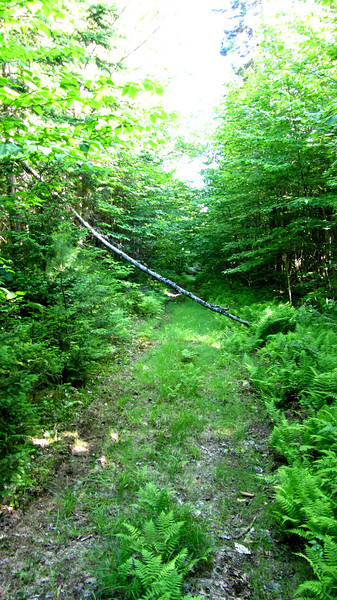
It was soon after this where I ended up taking my wrong turn. The trail started following woods roads for awhile, which, at first made me extremely happy! My legs were sick of following rocky, rooty, steep trails, and it felt great to walk on some straight forward roads for a bit, like the one below.

IMG1975-L.jpg


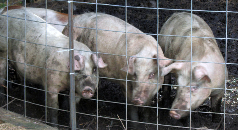
Then, the trail started using several different woods roads, blazed in both red and yellow (trail was blazed in yellow) and at one point, it branched off left (I believe!!) and I accidentally went right. Actually, I went left first, but didn't see any blazes, so I thought it was just a herd path that would peter out. So instead I went right, which crossed a very refreshing stream, and then I followed the woods road, which btw was blazed in red. I thought maybe they hadn't got to blazing this section yellow yet? Before long I knew I was in the wrong area, but something told me to keep going. I was extremely tired, and really didn't have the energy to turn back and look for the trail. In my mind, if I found a road, an 8 mile walk along a road would be much easier than a 5 mile walk up and down several more steep hills. Before long, I came out to someone's property, and their hog house!
IMG1978-L.jpg


Right after the hogpen, I turned left along a narrow dirt road, which paralled a stream going downstream. I figured that was the best thing to do. Naturally, the road dead ended in a field, so I turned around. :mad:

Of course if I had gone right the first time, I would have come out to a house literally 30 seconds later. The people who live there (name sadly escapes me) were working on some butchering, but in an incredible act of kindness, one offered to give me a ride down to Wellington State Park! The day was saved!

I ended up coming out on the upper part of Welton Falls Rd, which then leads to Fowler River rd, and then down towards Bristol, where you can go left on West shore Rd to Wellington. It would have been a long walk out, but probably better than what I would have had to deal with had I kept following the trail. So no matter what, everything would have worked out just fine.

How about a couple more pics, these were at Wellington St Park. I love the views from there...Newfound Lake is my fav in NH.

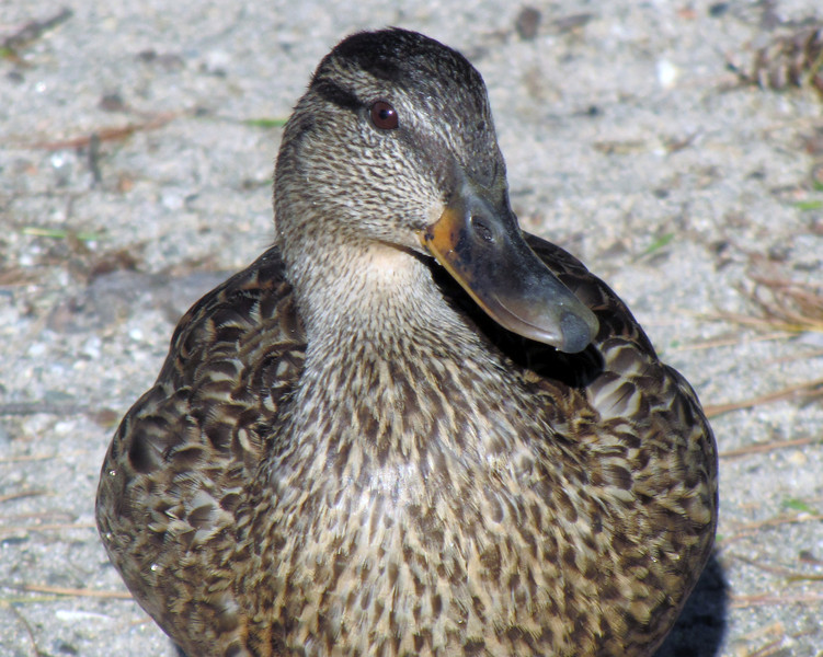
Looking for handouts
IMG1983-L.jpg


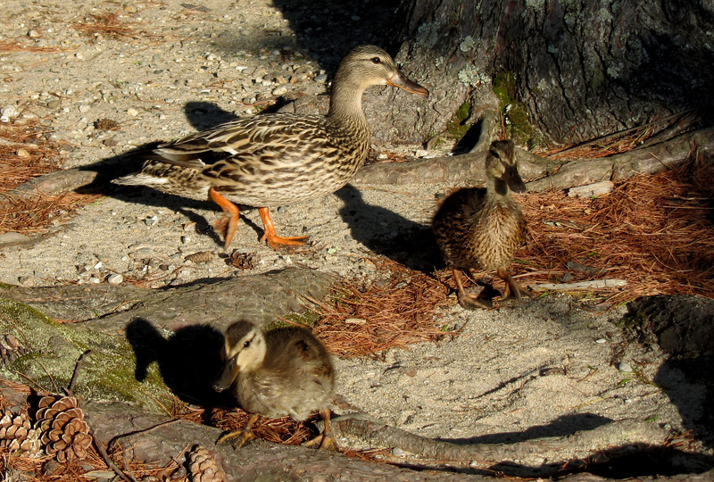
These little guys would eventually start peckin' at my boot.
IMG1989-L.jpg


IMG1986-L.jpg


Lessons learned? Yea...wake up earlier, bring more water, food etc. I sweat and go through so much water during a hike that it literally looks like I took a shower by the time I summited Cardigan, hours before. So that is always going to be an uphill battle. I drank 2 liters of gatorade, and 120 oz of water, 2 liters of it with some NUUN. Now its Sunday, and I'm just getting over the dehydration.

I wasn't really scared about getting lost. I knew there were tons of back roads out there, and had a general understanding of the topography where I could come out "somewhere" even if it wasn't where I wanted to be. And luckily, there was the ultimate trail angel, even though I was away from the AT. :rolleyes:

Hope you enjoyed my misadventures! BTW, I'm dying to fill in the gaps and figure out what I did wrong, so I'll be out on those trails again at some point!

http://grouseking.smugmug.com/New-H...screw/23862819_245RPW#!i=1934921800&k=dnCxJGV
 
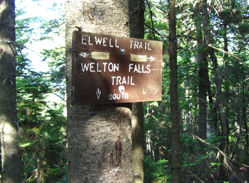
Looks like you found the pig pen on the farm near the Fowler River -- that section of the Elwell Trail where it intersects with the Welton Falls Trail can be a bit tricky to follow. I know on more than one occasion I've ended up at the farm and had to double back to pick up the trail.

Ahh, glad I'm not the only one! I'll be back for sure, to complete that section. Its already bothering me!
 
Very nice pictures and tale of your adventure. I also go through lots of liquid on hikes and now carry my filter on almost any hike over 5 miles. Do you have a filter? If not, it might be a good investment!
 
Very nice pictures and tale of your adventure. I also go through lots of liquid on hikes and now carry my filter on almost any hike over 5 miles. Do you have a filter? If not, it might be a good investment!

I do...just bought one. But I didn't bring it along because I didn't see any areas that I could reliably filter. I crossed one stream, but that was only after I was on the wrong trail. From now on....I shall bring it!
 
Water on Mowglis and Elwell...

Grouseking,
After you passed Firescrew there are six small brooks on or near your route not counting Templeton Brook that you crossed shortly before descending to the pigsty. However, none of them are reliable save for a few days after heavy rain. This ridge trail is one where it really pays to find out the recent history of rainfall so you have better odds of finding water to filter.
Better luck on your next try. The maintainer expects to blaze from Oregon Mtn Tr to Welton Falls Tr next week sometime. Yours ay, Creag nan drochaid
 
Nice report. A little over a month ago I walked right by the easter junction of the Elwell Tr coming off of Oregon Mtn. I went about a mile before turning around. Those are some lightly used trails. Good choice going over Oregon Mtn instead of following the Elwell Tr. There is alot of elevation change on the Elwell. There is also some reliable (I think) water on the Elwell just as you start to head back up from the Old Dicey Rd. That is where I filled up on my treck.
 
Top