How it began.
He: (sitting on the side of Mt. Jefferson on Monday checking in with his better half. Yes I have become one of those people) Hi. I’m doing fine. At the junction of the Cornice and Castle trails.
She: (at work) I’m looking at the map. What do you think of this loop?
He: Shouldn’t you be working?
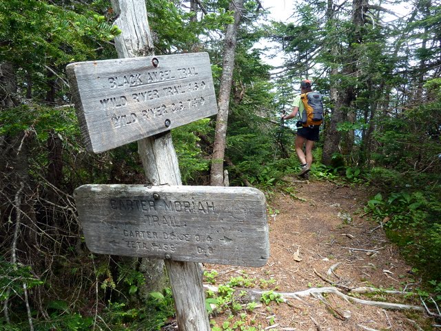
She: I should be but I’m looking at the map. We go up East Branch trail to Wild River trail to Rainbow trail to Carter Dome. Go down Black Angel trail, cross by Spider Bridge, up Black Angel to Basin Rim trail to Mt. Meader and then down Mt. Meader trail. It's about 21 miles. Water levels are low. What do you think? The weather looks good and I’ve already asked for Wednesday off tentatively.
He: Let’s do it.
And just like that we have hiking plans for Wednesday.
A few pictures of our day.
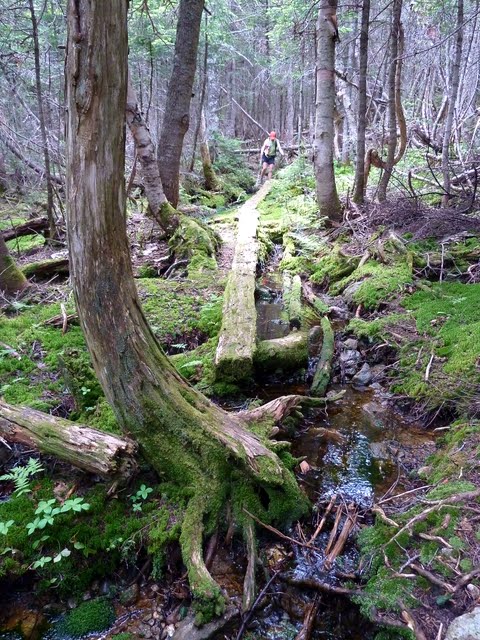
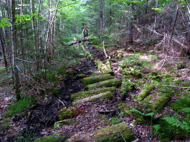
The East Branch trail can be wet and muddy.
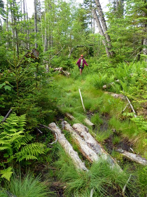
In fact it is wet and muddy. More moose prints than people.
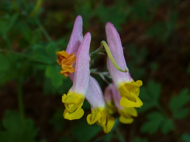
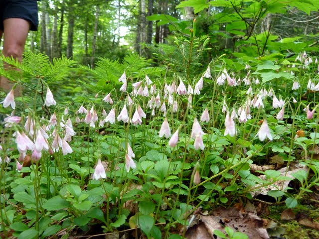
A nice patch of Twinflowers.
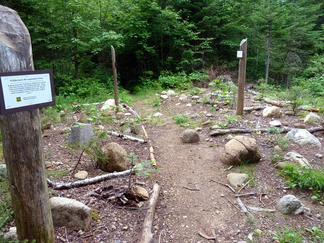
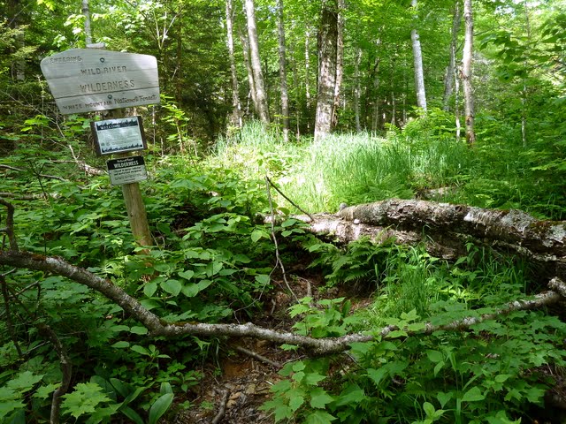
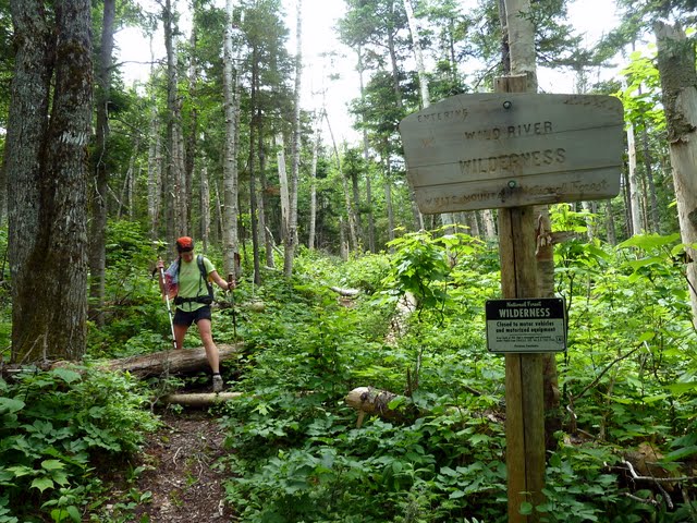
Welcome to the Wilderness. A blowdown to greet you as you cross over.
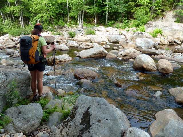
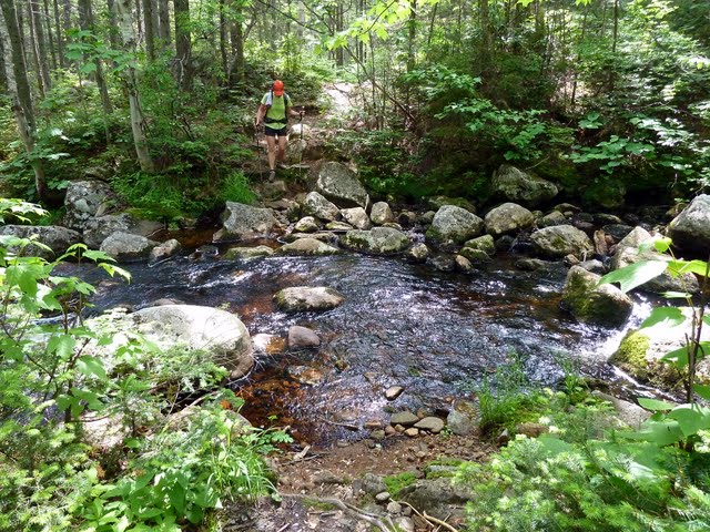
Lots of water crossings during the course of the day. Pick a low water day.
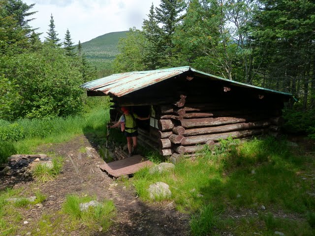
The Perkins Notch shelter. It will most likely be removed this year. It was slated for destruction last fall but is still standing.
One last blowdown as we leave the Wilderness.
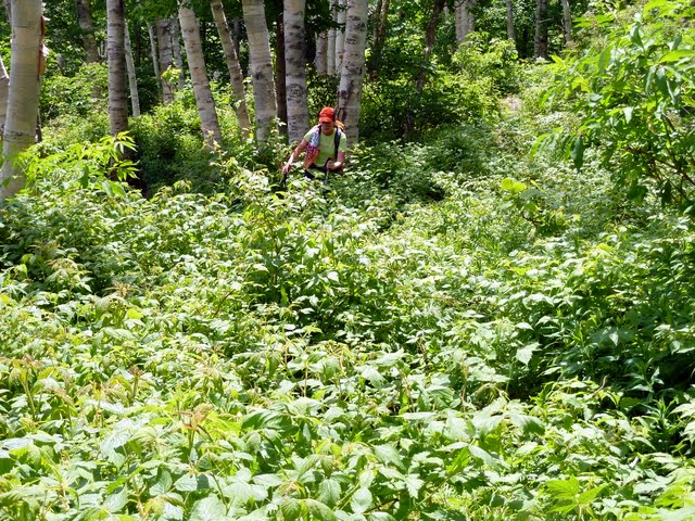
The Rainbow trail could use a little brushing in spots.
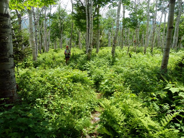
The birch glades on the Rainbow trail rival those on the Fire Warden's trail on Mt. Hale.
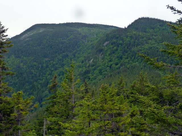
Nice views from the top of Rainbow Ridge. One of the best views in the Whites.
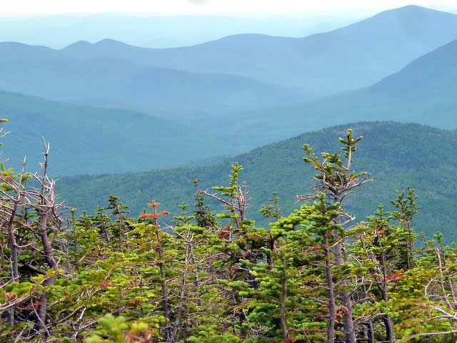
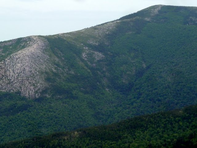
The summit of Rainbow Ridge (in the foreground) from the trail closer to Carter Dome.
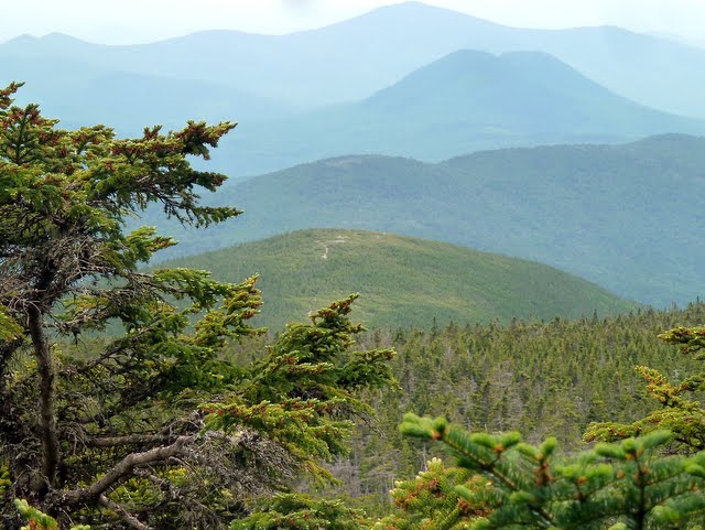
Mt. Hight and the other Carters from the summit of Carter Dome.
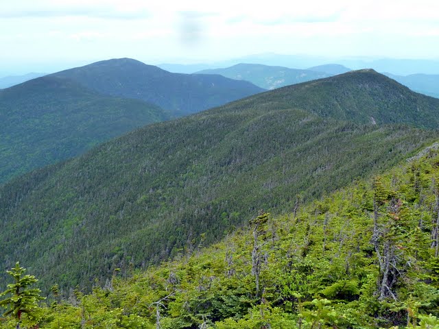
To be continued..........
He: (sitting on the side of Mt. Jefferson on Monday checking in with his better half. Yes I have become one of those people) Hi. I’m doing fine. At the junction of the Cornice and Castle trails.
She: (at work) I’m looking at the map. What do you think of this loop?
He: Shouldn’t you be working?
She: I should be but I’m looking at the map. We go up East Branch trail to Wild River trail to Rainbow trail to Carter Dome. Go down Black Angel trail, cross by Spider Bridge, up Black Angel to Basin Rim trail to Mt. Meader and then down Mt. Meader trail. It's about 21 miles. Water levels are low. What do you think? The weather looks good and I’ve already asked for Wednesday off tentatively.
He: Let’s do it.
And just like that we have hiking plans for Wednesday.
A few pictures of our day.
The East Branch trail can be wet and muddy.

In fact it is wet and muddy. More moose prints than people.

A nice patch of Twinflowers.

Welcome to the Wilderness. A blowdown to greet you as you cross over.

Lots of water crossings during the course of the day. Pick a low water day.

The Perkins Notch shelter. It will most likely be removed this year. It was slated for destruction last fall but is still standing.

One last blowdown as we leave the Wilderness.

The Rainbow trail could use a little brushing in spots.

The birch glades on the Rainbow trail rival those on the Fire Warden's trail on Mt. Hale.

Nice views from the top of Rainbow Ridge. One of the best views in the Whites.

The summit of Rainbow Ridge (in the foreground) from the trail closer to Carter Dome.

Mt. Hight and the other Carters from the summit of Carter Dome.

To be continued..........

