Greeley ponds from Livermore?

vftt.org

Help Support vftt.org:

This site may earn a commission from merchant affiliate links, including eBay, Amazon, and others.

gram

Member
Joined
Oct 4, 2006
Messages
181
Reaction score
12
Location
North of Boston, Avatar, Rocky Mt NP
The Forest Service lists this trail as closed after Irene, but is that still true? I'd appreciate any info - looking for an easy snowshoe as I recover from a knee replacement!

Thanks.
 
WOW! A picture is worth a thousand words. What a shame, it's a beautiful trail, and so are the trails leading off it. Hopefully in the spring some work can be done on the blowdowns.

Thanks Rocket for the links and Becca for the great pictures. Vey helpful. Certainly for now it's not for a woman who's just had knee surgery.
 
A nice loop in the area would be the Smarts Brook Trail to the bridge then come down Yellow Jacket xc ski trail to the parking..not many steep places and the xc ski trail has nice brook visuals..
 
W.V.A.I.A. Blog concerning Livermore

Please check out the Waterville Valley Athletic and Improvement Association at:

WVAIA Blog Site
or
Greeley Pond Trail Hit HARD by Hurricane Irene

Scroll halfway down and look at the pictures posted on the first link. This is why the trail is closed. It will most likely be rerouted away from the Mad River. This project will take time and money. Both of which are in short supply. Don't plan on having this trail open next season.

Just one of many trail damaged or wiped out completely by Irene.

This coming hiking season will be the season of "The Volunteer".
Everyone should really think about taking time to pay back for all the miles you've happily and unobstructedly hiked through out the WMNF.

See You On The Trail...Walker
 
Steve Smith's blog posting prompted me to explore the area today.
Doesn't look like one can get to Kancamagus Brook Tr. :(
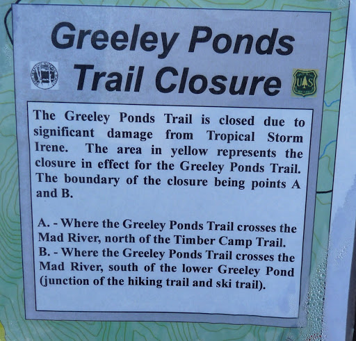
One cannot get there legally:

P1040821.JPG

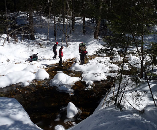
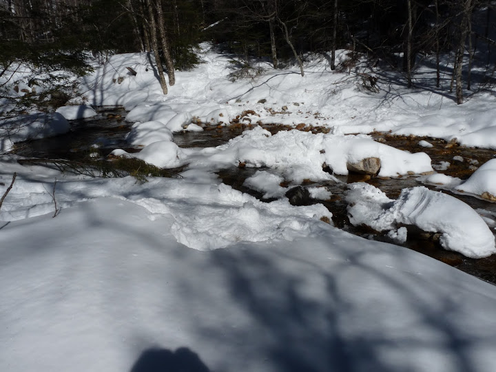
The first bridge is washed out, and the crossing is sketchy but doable:

P1040828.JPG

Note that the middle hiker is standing in the (very shallow) water, helping his companion. Another view of the crossing:

P1040831.JPG

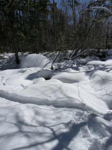
The Scaur Trail crosses the river over an excellent snow bridge:

P1040827.JPG

Both it and the Kettles Path seem to have been broken out by a good sized group in snowshoes, so that made a very enjoyable loop.
 
Top