1HappyHiker
Well-known member
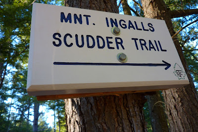
The newly organized Shelburne Trails Club (STC) has been doing a fantastic job of reclaiming some of the abandoned hiking trails in the Shelburne area, such as the Middle Mountain Trail, the Scudder Trail, and the Judson Pond connector trail between the Scudder Trail and Mt. Cabot (not the 4K peak in the Kilkenny!).
Thanks to the work completed by the Club to date, I was able to do two relatively short loop hikes. One involved a hike over Mt. Crag and Middle Mountain. The other loop was a hike over Mt. Cabot, which among other trails, involved the reclaimed Scudder Trail which had been abandoned for many years.
So, on this page, I'll give some information and provide a few snapshots relative to the hike to Mt. Crag and Middle Mountain. Then, I'll post a "Reply" to provide a second page that will contain info and photos for the Mt. Cabot hike.
Loop #1 (Mt. Crag & Middle Mountain)
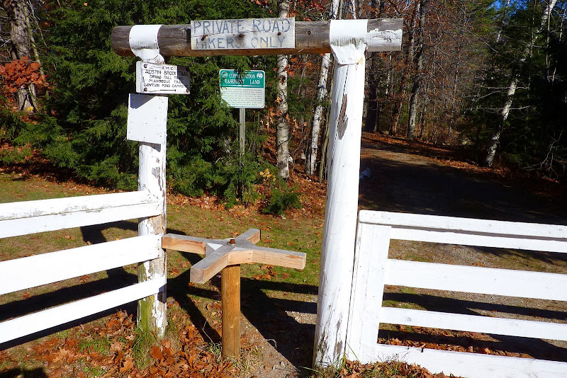
This hike was more of a modified loop than a true loop since it did involve some retracing of a large portion of the route. The trek started on the Austin Brook Trail. This trailhead is the only one that I've come across in the Whites where there is a turnstile at the entrance to the trail. Many years ago I saw a somewhat similar set-up for trails in England.
After a short 0.4 mile walk on the Austin Brook Trail, I headed westerly on the Yellow Trail for tiny Mt. Crag (1,412 ft elevation).
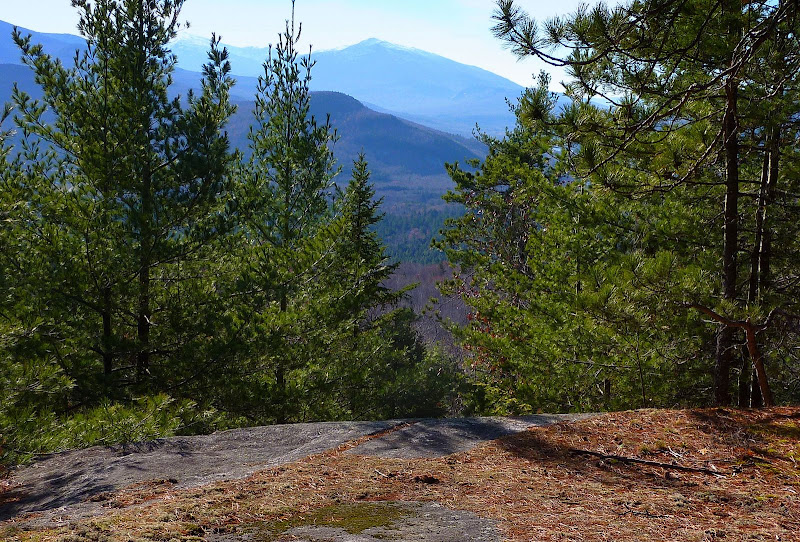
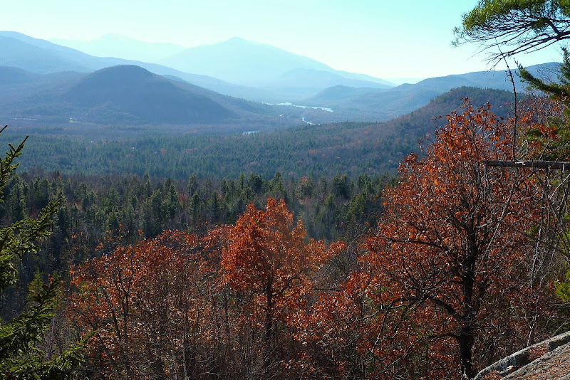
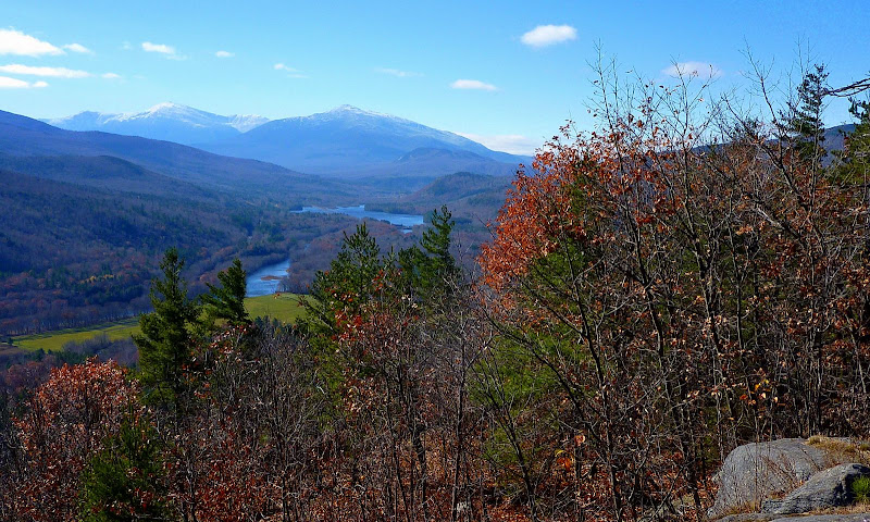
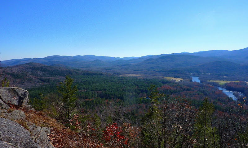
For anyone wanting a huge payoff for miniscule effort, then Mt. Crag is for you! There is a terrific westward view toward the Presidential Range, and a nice eastward view of the Androscoggin Valley. Both of those views are shown in the photos below.
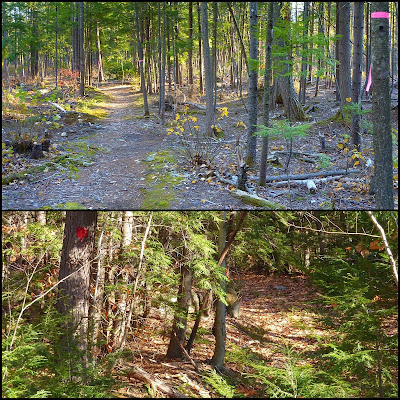
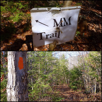
From the top of Mt. Crag I descended westward. Upon reaching the bottom of the mountain there is a junction where you can either head south to North Road, or you can head north on the recently reclaimed Middle Mountain Trail. The STC has done a fabulous job of marking the trail with orange blazes all the way to the top of Middle Mountain. However, the signage at this junction is currently just a temporary paper sign (see photo below). Based upon other brand new permanent signage that the STC has erected elsewhere within this trail system, I'd guess that it's only a matter of time before a permanent sign is erected.
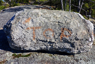
Once you're on the Middle Mountain Trail, there is no problem following it all the way to the top. And you don't need to wonder if you're at the top because there is a huge boulder with the word "TOP" painted on it. I don't know this for a fact, but I don't think the STC is responsible for painting the rock. I bushwhacked to Middle Mountain many years ago, and even back then, this same rock had the word "TOP" inscribed on it.
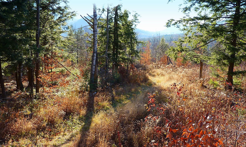
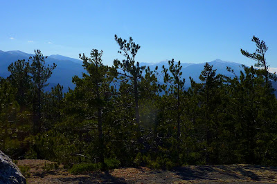
It's a fun hike to Middle Mountain, but quite honestly, the views have grown in over the years. As a result, I'd have to say that the views are actually better from little Mt. Crag. Below is a photo of the view from Middle Mountain looking toward the Presidential Range.
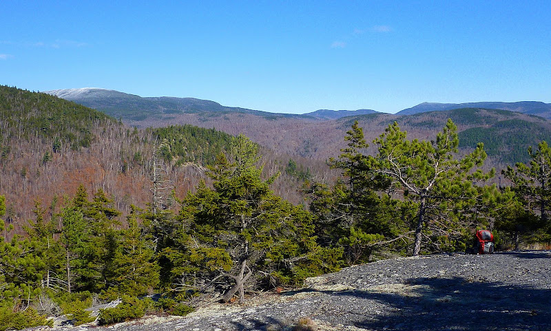
There is a nice eastward view of the Androscoggin Valley from Middle Mountain which is very similar to the view from Mt. Crag. And, as seen in the photo below, there is a view of a portion of what I think is the ridgeline of Mt. Success which was dusted with snow on the day I was there.
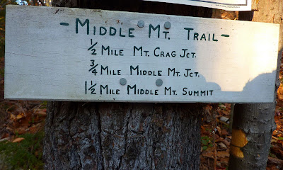
After checking out all the viewpoints on Middle Mountain, I retraced my route back to the junction with the trail that leads to Mt. Crag. However, rather than going back over Mt. Crag, I continued south to North Road. Upon reaching North Road, I came upon a sign which I think might be an old sign that was in place before the Middle Mountain Trail was abandoned. It lists a mileage to something labeled as "Middle Mt Jct". If that junction is where I think it might be, then with the current trail system that's in place, the mileage to that spot is no longer relevant.
Nearly opposite the point where I came out onto North Road, there is an unmarked parking area on the south side of the road. Therefore, one could park at that spot for a trek to Middle Mountain and/or Mt. Crag. However, since that is not where I parked, it was a short 0.6 mile road walk back to my car at the Austin Brook trailhead.
== > My second loop hike (to Mt. Cabot) is described on the page that follows.
Thanks to the work completed by the Club to date, I was able to do two relatively short loop hikes. One involved a hike over Mt. Crag and Middle Mountain. The other loop was a hike over Mt. Cabot, which among other trails, involved the reclaimed Scudder Trail which had been abandoned for many years.
So, on this page, I'll give some information and provide a few snapshots relative to the hike to Mt. Crag and Middle Mountain. Then, I'll post a "Reply" to provide a second page that will contain info and photos for the Mt. Cabot hike.
Loop #1 (Mt. Crag & Middle Mountain)
This hike was more of a modified loop than a true loop since it did involve some retracing of a large portion of the route. The trek started on the Austin Brook Trail. This trailhead is the only one that I've come across in the Whites where there is a turnstile at the entrance to the trail. Many years ago I saw a somewhat similar set-up for trails in England.

After a short 0.4 mile walk on the Austin Brook Trail, I headed westerly on the Yellow Trail for tiny Mt. Crag (1,412 ft elevation).
For anyone wanting a huge payoff for miniscule effort, then Mt. Crag is for you! There is a terrific westward view toward the Presidential Range, and a nice eastward view of the Androscoggin Valley. Both of those views are shown in the photos below.


From the top of Mt. Crag I descended westward. Upon reaching the bottom of the mountain there is a junction where you can either head south to North Road, or you can head north on the recently reclaimed Middle Mountain Trail. The STC has done a fabulous job of marking the trail with orange blazes all the way to the top of Middle Mountain. However, the signage at this junction is currently just a temporary paper sign (see photo below). Based upon other brand new permanent signage that the STC has erected elsewhere within this trail system, I'd guess that it's only a matter of time before a permanent sign is erected.

Once you're on the Middle Mountain Trail, there is no problem following it all the way to the top. And you don't need to wonder if you're at the top because there is a huge boulder with the word "TOP" painted on it. I don't know this for a fact, but I don't think the STC is responsible for painting the rock. I bushwhacked to Middle Mountain many years ago, and even back then, this same rock had the word "TOP" inscribed on it.

It's a fun hike to Middle Mountain, but quite honestly, the views have grown in over the years. As a result, I'd have to say that the views are actually better from little Mt. Crag. Below is a photo of the view from Middle Mountain looking toward the Presidential Range.

There is a nice eastward view of the Androscoggin Valley from Middle Mountain which is very similar to the view from Mt. Crag. And, as seen in the photo below, there is a view of a portion of what I think is the ridgeline of Mt. Success which was dusted with snow on the day I was there.

After checking out all the viewpoints on Middle Mountain, I retraced my route back to the junction with the trail that leads to Mt. Crag. However, rather than going back over Mt. Crag, I continued south to North Road. Upon reaching North Road, I came upon a sign which I think might be an old sign that was in place before the Middle Mountain Trail was abandoned. It lists a mileage to something labeled as "Middle Mt Jct". If that junction is where I think it might be, then with the current trail system that's in place, the mileage to that spot is no longer relevant.

Nearly opposite the point where I came out onto North Road, there is an unmarked parking area on the south side of the road. Therefore, one could park at that spot for a trek to Middle Mountain and/or Mt. Crag. However, since that is not where I parked, it was a short 0.6 mile road walk back to my car at the Austin Brook trailhead.
== > My second loop hike (to Mt. Cabot) is described on the page that follows.
Last edited:

