You are using an out of date browser. It may not display this or other websites correctly.
You should upgrade or use an alternative browser.
You should upgrade or use an alternative browser.
Hubbard Brook Experimental Forest on NH Chronicle (WMUR)
- Thread starter bikehikeskifish
- Start date

Help Support vftt.org:
This site may earn a commission from merchant affiliate
links, including eBay, Amazon, and others.
dottie
New member
fascinating! thanks for the share.
Interesting.
peakbagger
In Rembrance , July 2024
When section hiking the AT near the NC/GA border we took a road "shortcut" via an obscure forest service road down off the ridge. Turned out we drove through one of the oldest experimental forests in the system (its the only one that is called a Laboratory). https://www.srs.fs.usda.gov/coweeta/about-us/. The road was was as steep and curvy as the Mt Washington autoroad with about a 2000 foot drop. There were flow weirs everywhere along the road.
In addition to Hubbard Brook, there is also the Bartlett Experimental Forest in Bartlett. https://www.nrs.fs.fed.us/ef/locations/nh/bartlett/. After the ice storm of 1998, research from Bartlett where trees had been intentionally pruned of a large area of the crown over the long term was used as guidance to land owners to determine the likelihood that trees with serious crown damage would survive and what defects would be prevalent in the surviving trees.
In addition to Hubbard Brook, there is also the Bartlett Experimental Forest in Bartlett. https://www.nrs.fs.fed.us/ef/locations/nh/bartlett/. After the ice storm of 1998, research from Bartlett where trees had been intentionally pruned of a large area of the crown over the long term was used as guidance to land owners to determine the likelihood that trees with serious crown damage would survive and what defects would be prevalent in the surviving trees.
That’s some interesting info. I thought the experiment in Hubbard where they were intentionally spraying trees to create an artificial ice storm was notable also.When section hiking the AT near the NC/GA border we took a road "shortcut" via an obscure forest service road down off the ridge. Turned out we drove through one of the oldest experimental forests in the system (its the only one that is called a Laboratory). https://www.srs.fs.usda.gov/coweeta/about-us/. The road was was as steep and curvy as the Mt Washington autoroad with about a 2000 foot drop. There were flow weirs everywhere along the road.
In addition to Hubbard Brook, there is also the Bartlett Experimental Forest in Bartlett. https://www.nrs.fs.fed.us/ef/locations/nh/bartlett/. After the ice storm of 1998, research from Bartlett where trees had been intentionally pruned of a large area of the crown over the long term was used as guidance to land owners to determine the likelihood that trees with serious crown damage would survive and what defects would be prevalent in the surviving trees.
sierra
Well-known member
I watched it, I had no idea what was going on in there. Quite fascinating, I really thought the stock of water samples was incredible, going back to the 60's!!!
That’s some interesting info. I thought the experiment in Hubbard where they were intentionally spraying trees to create an artificial ice storm was notable also.
What about where they redirected water away to simulate a drought? I thought that concept was interesting, but the engineer in me says that the experimental area was way too small to be valid. It's possible they only showed a fraction of the experiment. Then again, my lawn turns brown a few feet past the range of the sprinkler in most summers, so maybe not
You see these experimental forests on maps, and sometimes you encounter some experiment(s) on regular hiking routes, but I didn't know the scope of an entire section of forest reserved for just experiments.
(I also found it fascinating that they have water samples back to the 1960s!)
Tim
peakbagger
In Rembrance , July 2024
Hubbard Brook encompasses an entire watershed from the top of the ridgeline to the discharge at the end of the valley.
Jazzbo
Well-known member
- Joined
- Jan 1, 2005
- Messages
- 1,199
- Reaction score
- 171
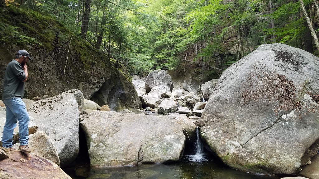
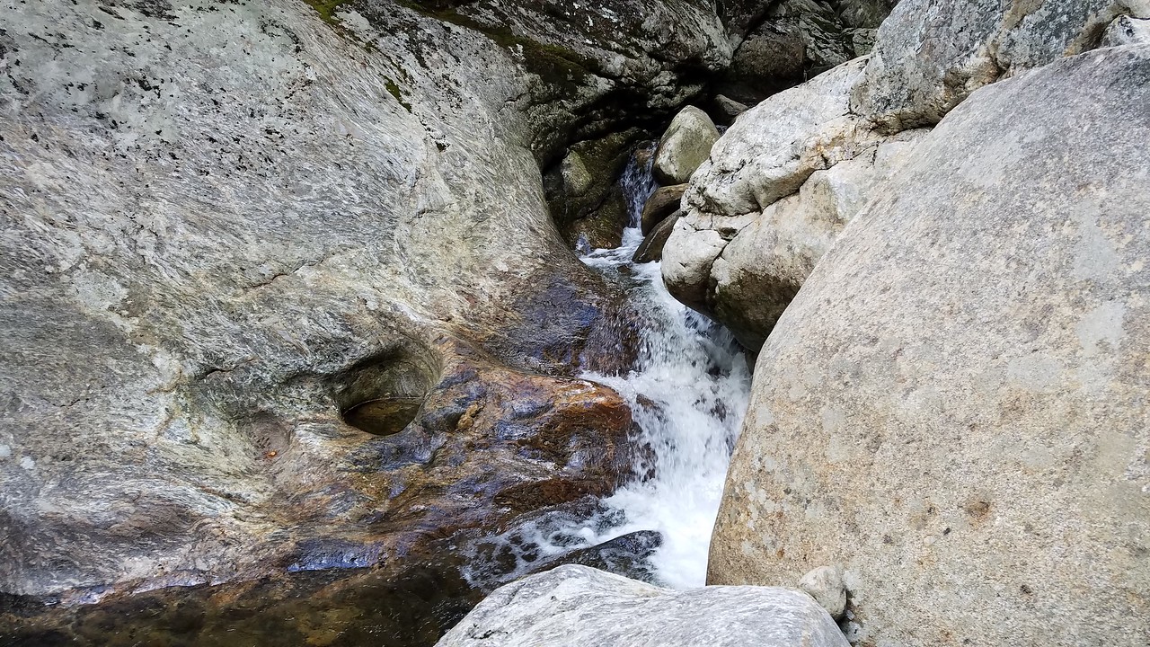
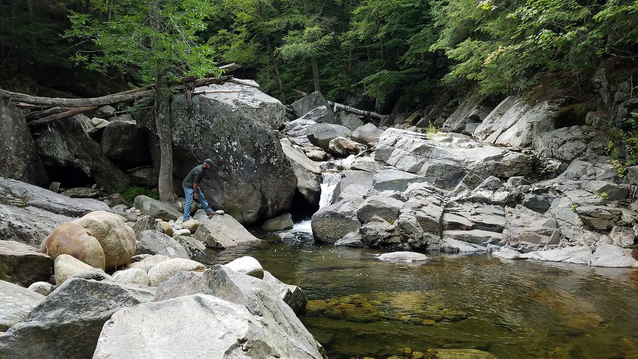
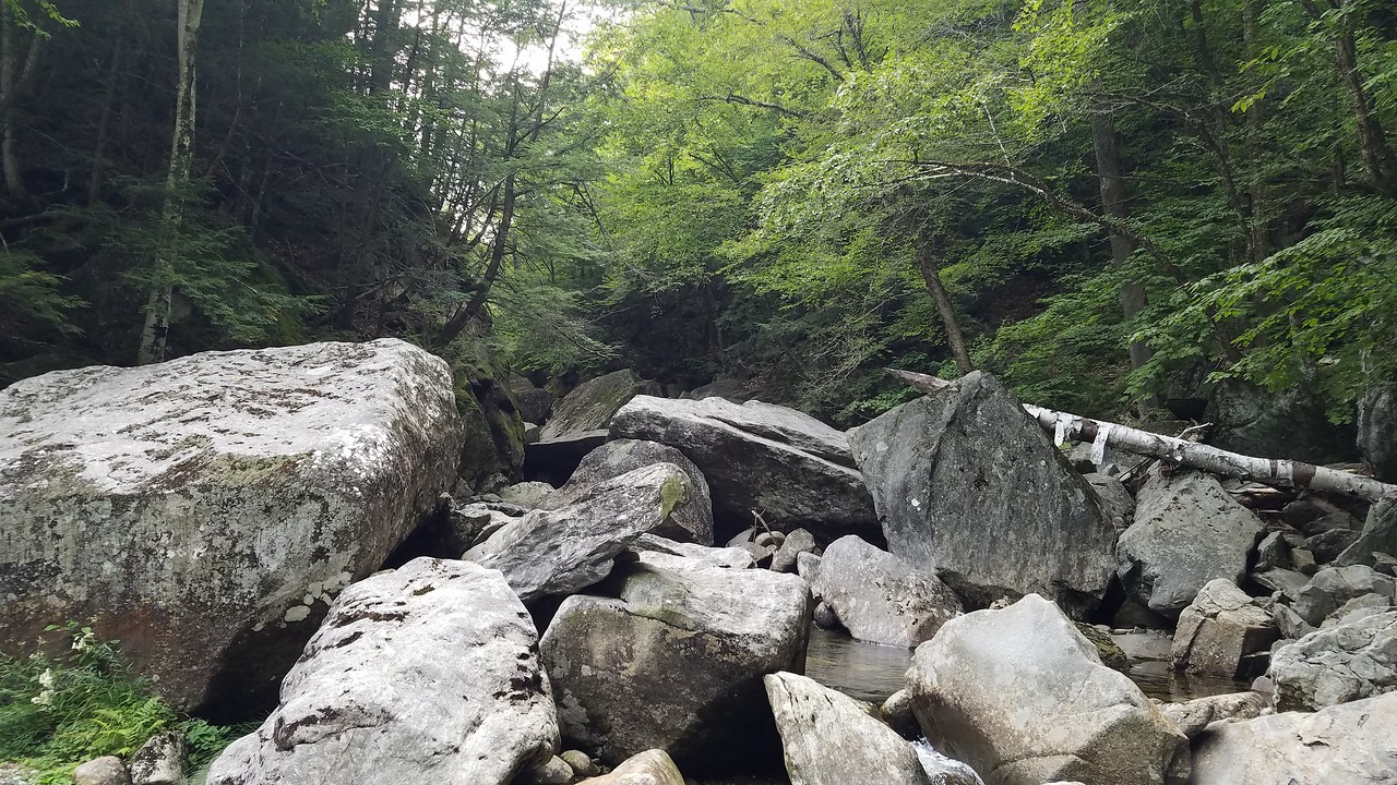
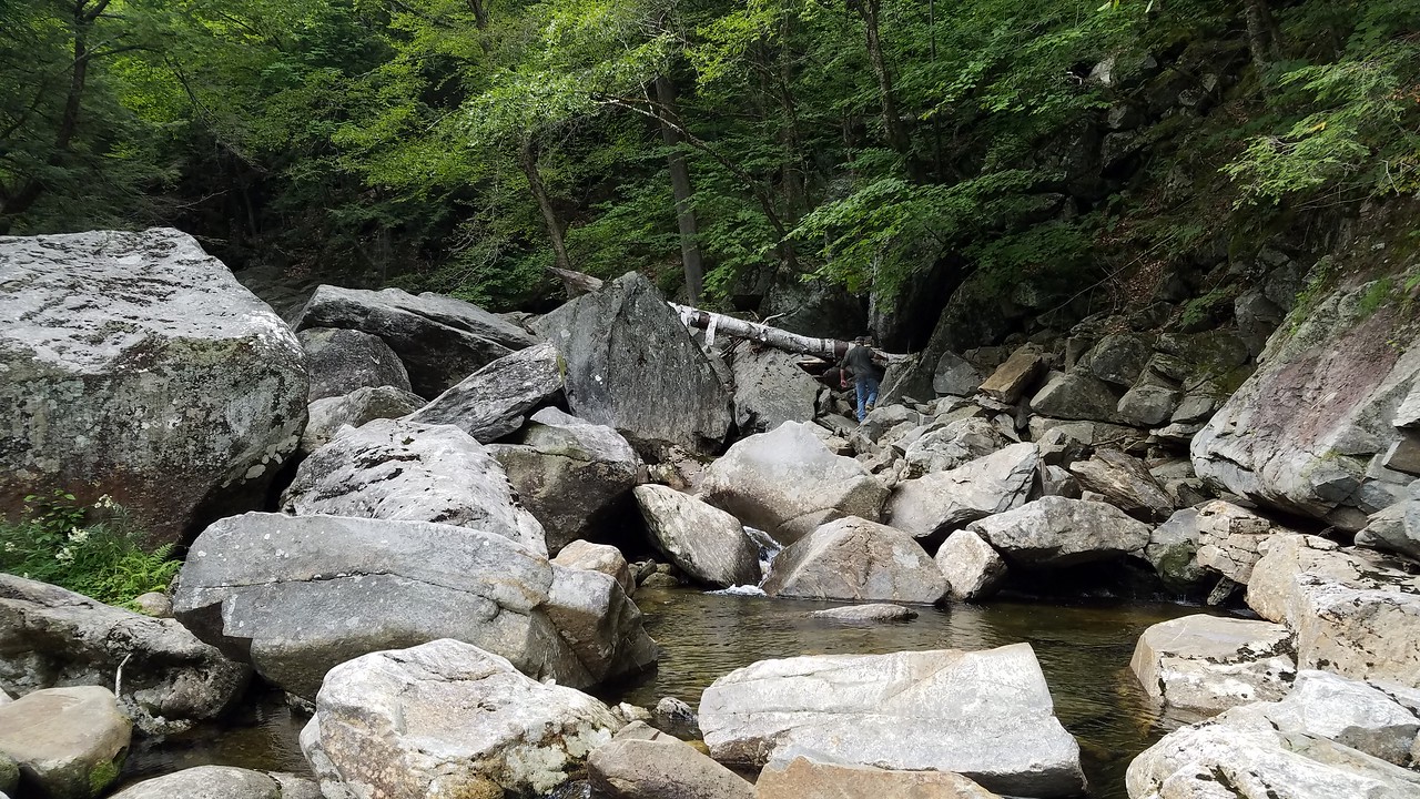
I happen to be a Hubbard Brook aficionado. Speaking of ridgelines, Mount Kineo is a fun bushwhack and Cushman is interesting too. However, my favorite place in Hubbard Brook is at much lower elevation. The Hubbard Brook Gorge is mentioned in many of the old guides. Hubbard Brook has carved out a very impressive gorge. I first attempted to visit during spring runoff one year and was stymied by the water levels. We happened to visit in September 2019 during dry spell which proved advantageous as we were able to work our way pretty far into the gorge due to low water levels. We could have traversed the entire gorge if we had more time. The jumbled rocks and boulders are like a big jungle gym. Definitely worth a re-visit during low water.


Last edited:
Andrew
Active member
Nice Gorge. There is an early experimental forest here in Bethlehem that I only recently discovered some history about, the Gale River Experimental Forest:
https://bethlehemheritagenh.org/ccc-camp-2118-at-pierce-bridge/
Although a much more very crude landscape/hydrology experiment as opposed to the ongoing silviculture observations at Hubbard Brook. I had explored with a few visits parking at 5 Corners before I was aware of the history and observed what seemed a heavy hand of alteration on the land. Then discovered the history that explained what I was seeing, an attempt to shift the direction of a watershed.
Similar threads
- Replies
- 12
- Views
- 2K
- Replies
- 0
- Views
- 1K
Latest posts
-
Hypothermic hiker rescued from Little Haystack by helicopter
- Latest: Dr. Dasypodidae
-
-
-
-
-
-
How Hard Was The Snowpack Hit Yesterday
- Latest: Dr. Dasypodidae
-