1HappyHiker
Well-known member
Although this sort of falls into both categories I think this is more of a Q&A than a Trip Report.
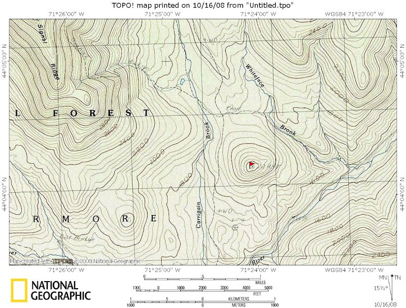
Anyway, I’m not much of a list person. However, I am curious if the little 2,243 ft. summit (marked with a red flag on the map below) is on one of “The Lists” (like maybe the “why bother” list, or whatever)??

A few days ago, I had some time, but not enough time to really hike, if you know what I mean?! So, I drove up the Sawyer River Road and parked at the Signal Ridge trailhead and did a short bushwhack to the little peak shown on the map. Why did I do this? Well, it was just another one of those curiosity things. The contour lines on the topographic map, plus GoogleEarth images, seemed to indicate that there might be a small ledge on this little “bump” which could offer some low-level views.
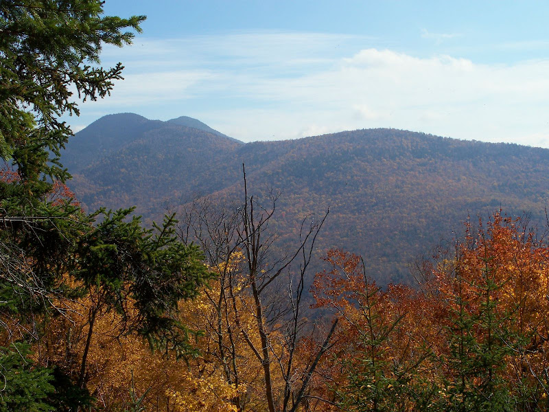
Sure enough, I did find a small ledge and some limited views. One view is toward Mt. Tremont.

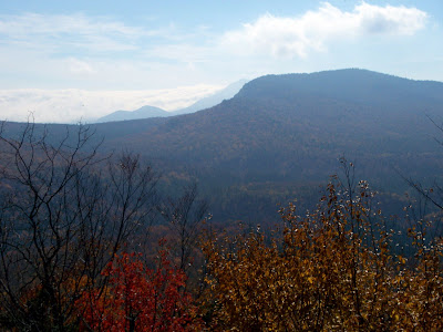
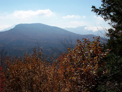
Also, looking over the backside of Green’s Cliff, there are limited views toward Passaconaway & the Tripyramids. However, when taking photos in this direction, I was sort of shooting into the sun, plus there were some low clouds. Therefore, these shots are not particularly good, but perhaps you can get a rough idea of the views.


So, as said at the beginning, I am curious if this little summit is on a list, and also curious if it has a name, either official or unofficial??
1HappyHiker
Anyway, I’m not much of a list person. However, I am curious if the little 2,243 ft. summit (marked with a red flag on the map below) is on one of “The Lists” (like maybe the “why bother” list, or whatever)??

A few days ago, I had some time, but not enough time to really hike, if you know what I mean?! So, I drove up the Sawyer River Road and parked at the Signal Ridge trailhead and did a short bushwhack to the little peak shown on the map. Why did I do this? Well, it was just another one of those curiosity things. The contour lines on the topographic map, plus GoogleEarth images, seemed to indicate that there might be a small ledge on this little “bump” which could offer some low-level views.
Sure enough, I did find a small ledge and some limited views. One view is toward Mt. Tremont.

Also, looking over the backside of Green’s Cliff, there are limited views toward Passaconaway & the Tripyramids. However, when taking photos in this direction, I was sort of shooting into the sun, plus there were some low clouds. Therefore, these shots are not particularly good, but perhaps you can get a rough idea of the views.


So, as said at the beginning, I am curious if this little summit is on a list, and also curious if it has a name, either official or unofficial??
1HappyHiker
