John in NH
Member
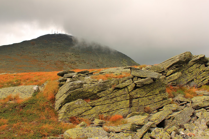
Peaks: Mt. Isolation, Boott Spur, Mount Monroe
Trails: Ammonoosuc Ravine Trail, Crawford Path, Tuckerman Crossover, Davis Path, Isolation Spur, "rockwhack, to Boott Spur summit" Camel Trail, Mount Monroe Loop, Ammonoosuc Ravine Trail
Stats: 16 miles 6150 gain. Solo.
Parked at Cog lot for $5 to save 1.4 miles round trip. The gentlemen said he usually gets there at 6 am, so that’s probably the earliest you could use this option.
In keeping with my tradition of never hiking Isolation via the Rocky Branch approach, I tried out this route on a sunny, low humidity, low/no wind day. If you are no stranger to longer day hikes, there are some potential advantages to this approach:
1) Shorter drive if you come to the whites from the south via I 93. Seems like lots of folks on this board live in MA or southern NH, so driving to Crawford Notch area vs. Pinkham notch saves 45 minutes drive each way if you would use 93 to get there.
2) More above treeline time. About 7 miles total. That’s 7 more miles than Rocky Branch approach, 4 more than Glen Boulder approach.
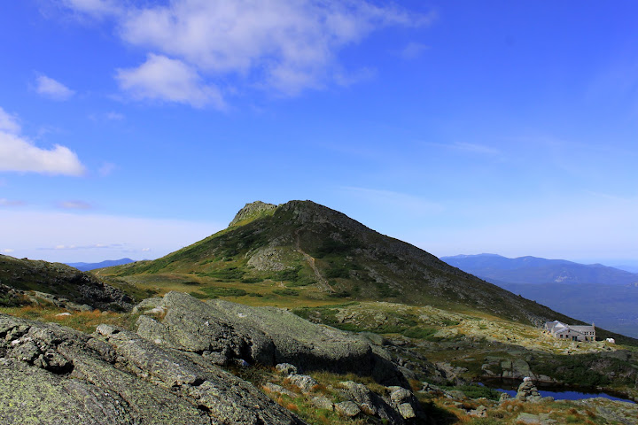
nice vantage from Tuckerman Crossover of Mount Monroe, Lake of the Clouds and Hut
3) LOC hut to refill water twice, and carry minimal up Ammo in the morning.
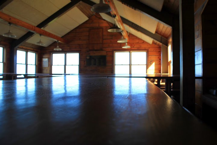
A completely empty hut at 9:20 on a sunday morning, guess that's the time to be there.
4) Chance to explore the lesser visited areas of Mount Washington (ie not the standard peakbagging approaches):
--Bigelow Lawn
This area is so wide and relatively flat it’s hard to convey of its scale in photos
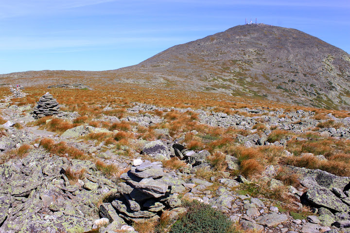
Hikers dwarfed by Bigelow Lawn and the summit behind
It has its own unique character, broader, flatter, grassier, rocks for sure, but much more forgiving. Runable in fact, if that’s your thing.
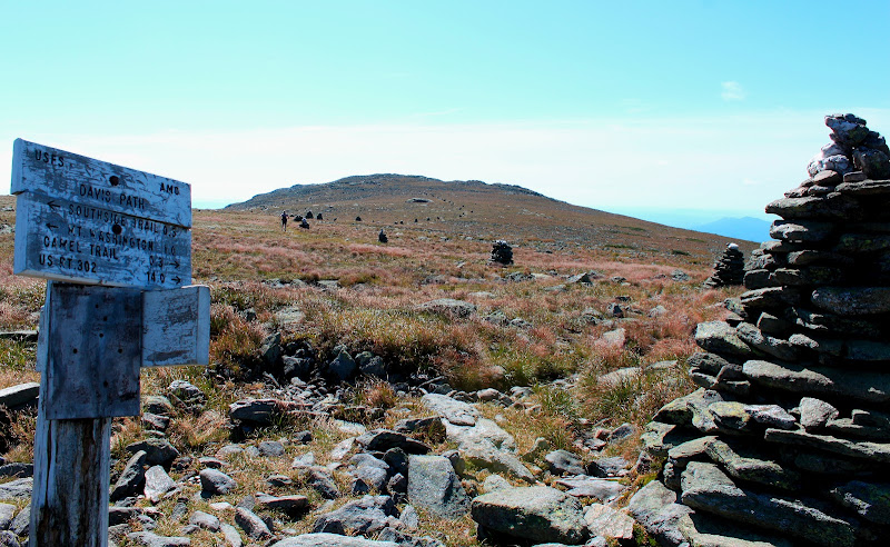
Trail runner headed down south on Davis Path, he said his run included Huntington Ravine Trail--I assume he slowed down for that!
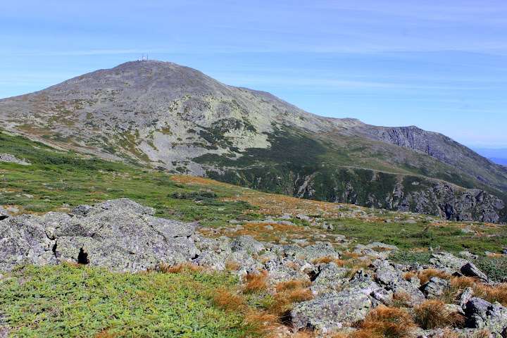
Great view to the lips of Tuckerman's Ravine (Lion Head) and Huntington Ravine.
--Upper part of the Montalban Ridge.
Many forget about this third ridge of Mount Washington (Northern Presi’s and Southern Presi’s being the other main two). Montalban is the longest of these ridges, 20 miles total, all the way to Mt. Stanton on Rt. 302.
Different perspective on the Southern Presi’s
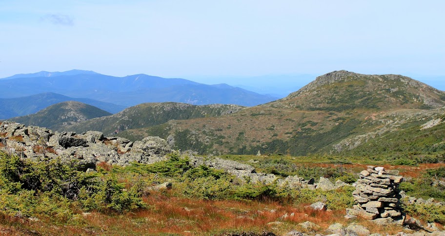
View of the "other side" of Monroe and Southern Presi's and Pemi peaks, including Franconia Ridge in the distance
Disadvantages:
1) It is long. You have to get all the way back up to the above treeline knob on the right (Slide Peak/Boott Spur Area) about 2100 at the end of the day, not including the 400 feet to climb Monroe like I did. But the grade back up is never more than moderate, and the footing is good to average the whole way.
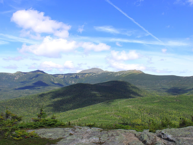
Well earned view from Isolation, you have to climb up two shadowed humps, back to alpine hump on right, across to Monroe, and then down ammo
2) Needless to say, this would be a terrible winter route, with the flat expanses of above treeline area, it would be a horrible place if limited visibility or deep snow obscuring cairns. No protection from the wind and I’m sure no one breaks trail this way that often either. Winter will be my first time on Rocky Branch I guess.
Sunday was great Presi day, glad I didn’t miss it because I “had” to hike Isolation! (for my 2012 round of the 48 —one more hike to go!)
