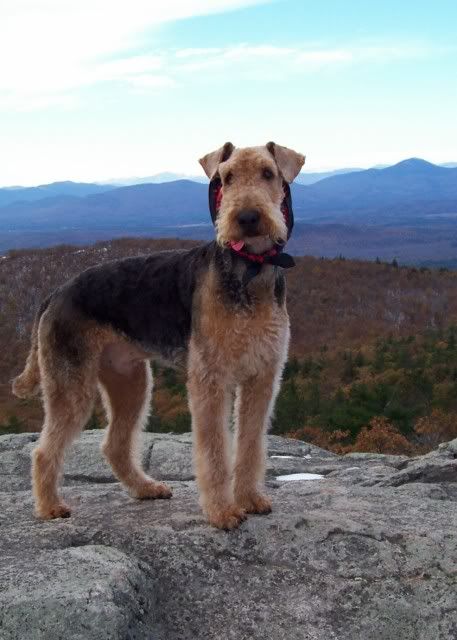
Jimmy Legs and Little D
New member
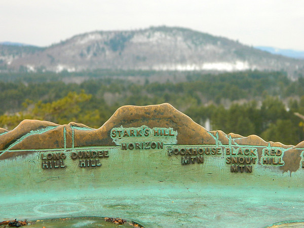
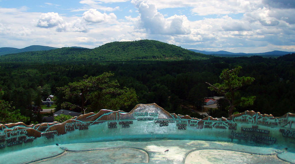
Donna and I did a couple of short hikes in Maine near Fryeburg while we were still on the Jackson side of town. Jockey Cap proved interesting in that at the top stood a structure which looks like the knight piece of a chess set. Looking closer it was actually a device which would allow someone to identify a mountain by lining up the silhouette to the mountain in the distance.
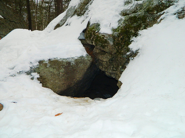
Another interesting bit of history about this area is the story of Molly Ockett an indian medicine woman who occasionally lived in the cave below the summit.
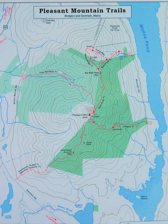
After visiting the Jockey Cap General Store, where we bought a delicious hot lunch, we drove the short distance to the trail head of Pleasant Mountain off of Denmark road. We didn't have a map of the trails so I took a picture of the map posted at the trail head and used the picture as our means to find the summit.
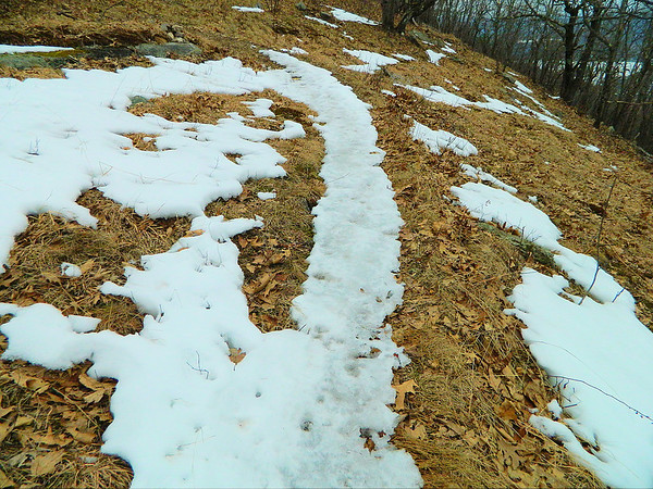
The trail, although not challenging in steepness, varied in the amounts of snow, ice and bare ground along the way. We started off in microspikes and in a short while we took them off because of the absence of snow. We even saw the appearance of the "monorail".
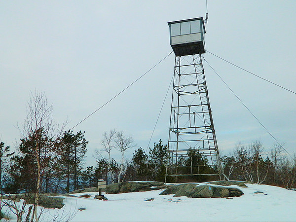
After crossing over the Southeast summit we continued on until we reached the summit of Pleasant Mountain, where there is a fire tower.
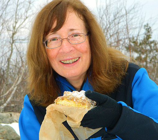
We enjoyed the view while sipping hot chocolate and eating crumb cake and bagels which we bought at Big Dave's Bagels in Conway.
After forty five minutes at the summit we started the 3 mile hike back to the car.
It was a very enjoyable day with all the different things we did; especially visiting Maine again.
Here's the link to our SmugMug slide show:
http://jimmylegs.smugmug.com/Nature/Hiking/Jockey-Cap-Pleasant-Mountain/21606957_XqgqWG
Mike and Donna

