king tut
New member
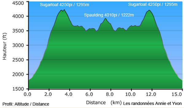
I was playing with some saved GPS tracks of some hikes, and I can view the Vertical Profile graphic which shows the elevation change over distance, but for the life of me, I can not save this image as a JPEG or any other file at all. Anybody know how to take the elevation charts off of Mapsource and save them as images in order to put them on a trip report or a website? I have been tinkering with Mapsource for the last month, and I have not found the software to be remotely user friendly at all.


