The weather got warmer and warmer, taunting me. For one reason after another, I had reluctantly avoided going on any significant hikes, day after day and week after week. As April ended, I felt a growing need to hit the hills. I decided to do something big on the weekend of May 2nd. Camping, definitely. Elevation gain, for sure. Distance, yes. Solitude, absolutely. Steepness, snow, trailbreaking, maybe some ice, if I was lucky and conditions weren't too suicidal.
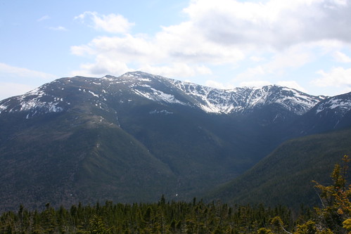
One area seemed to offer everything I was looking for: the Great Gulf, bordered by Mount Washington and the Northern Presidential Range. A trail runs along the bottom of the Gulf for nearly eight miles before climbing the headwall to Mount Washington; along the way, some of the steepest trails in the Whites branch off to the other northern peaks. My plan was to set up camp in the Gulf and do a couple of loops as snow conditions permitted. I wasn't sure how much snow remained on the ground, but I figured that thanks to intensive search-and-rescue activity in the area a few days earlier, any drifts on the main approach trail would have been broken through.
The plan had a couple of weak points. First of all, icefall or avalanche risk would put a damper on the steepest parts of the climb. I checked the avalanche forecast for Tuckerman Ravine (the nearest spot for which a public forecast is available), and decided that conditions were as good as I could ask for at this time of year. The second weakness was river crossings: all that SAR activity was the result of a hiker who'd gone off his planned route only to wander back and forth for three days, searching for passable water crossings. I checked my trusty _White Mountain Guide_ and assured myself that there were bridges on the lower crossings along the Great Gulf Trail. Once I got deep into the Gulf, I might still be prevented from reaching the ridge, but at least I'd be able to get back out.
Since I was hoping to climb some steep, snowy slopes, I packed heavy: crampons, ice axe, and snowshoes, in addition to microspikes, tent, sleeping bag, sleeping pad, down jacket (just in case), stove, and food. At the last minute I decided to save a pound or two by wearing my low-top hiking shoes instead of boots.
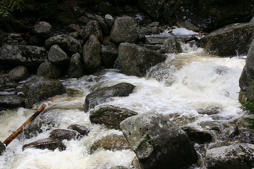
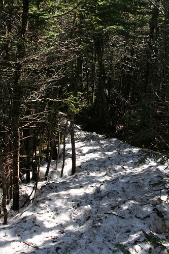
Saturday morning I left almost on time, and after a dull drive I pulled into the trailhead parking lot at 10:30 AM. Another hiker arrived as I was depositing my parking fee, and I asked if he'd been in the area lately. He told me there was still plenty of snow up high, and he recommended crampons. I decided that meant I'd need snowshoes too. He also told me he'd tried the Great Gulf Trail a week earlier, and turned back at the Bluff due to raging white water. I had to check my map, and when I did I let out a cry of dismay: that was less than three miles up the trail. I was *certain* that the Guide mentioned a bridge at that spot. There's a bridge at the _second_ crossing there, he informed me. This was not good news, but I decided to go see for myself. My back-up plan would be to take the Osgood Cutoff from that spot (almost a 180 turn), set my camp at Osgood Tentsite, climb Mt Madison today, and worry about tomorrow later.
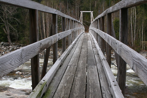
Meanwhile it was a warm, sunny day, and spring was in the air. Wildflowers were blooming right in the parking lot: twisted-stalk and bluets. The first stream crossing was on a suspension bridge right by the parking lot, as advertised.
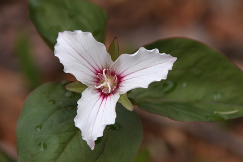
With the river behind me masking any road noise, the hardwood forest became a photographer's paradise. As I walked down the trail I saw painted and purple trillium, trout lilies, hobblebush, and more. I assumed there would be snow on the ground soon enough, but for now it was smooth sailing.
Continued...
