It has been a long time since I last hiked Mount Martha outside winter, and since I wanted an easy hike yesterday I decided to do it. Trip is 1.9 miles each way, with 1,900 feet of elevation gain. The last few hundred feet are a bit steeper than the rest, but still all in all an easy hike with good to moderate footing throughout.
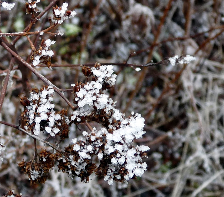
The warm weather plus rain has completely erased the "White Thanksgiving" snow from the trail. At the summit there was some remaining snow on the brush that looked almost like flowers:

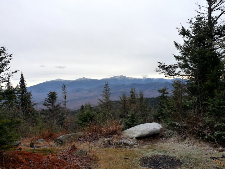
There are three views from the summit area. The classic is looking south to the Presidential Range:

You can just see Mount Eisenhower under a branch at one end, and Mounts Madison and Quincy Adams show behind Mount Adams at the other end.
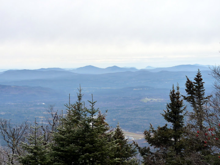
From the summit area you can also look north, the peaks there are unfamiliar to me, do your own IDing:

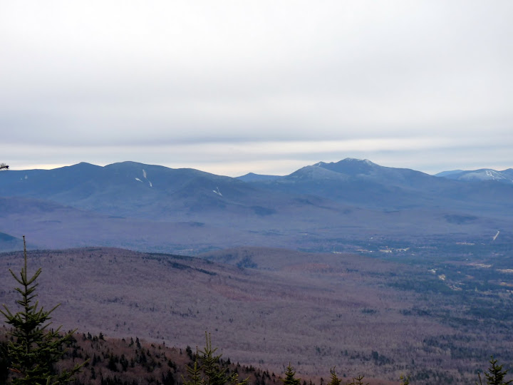
A short path has been cut from the summit area to a viewpoint with excellent views to the west, from Cannon Mountain to Franconia Ridge tp Mounts Garfield and Galehead to the Twins:

All in all a very worth while short hike.
Sorry, John, did not have the energy or desire to explore your adopted trail to Owl's Head.
A few more photos here.
The warm weather plus rain has completely erased the "White Thanksgiving" snow from the trail. At the summit there was some remaining snow on the brush that looked almost like flowers:

There are three views from the summit area. The classic is looking south to the Presidential Range:

You can just see Mount Eisenhower under a branch at one end, and Mounts Madison and Quincy Adams show behind Mount Adams at the other end.
From the summit area you can also look north, the peaks there are unfamiliar to me, do your own IDing:

A short path has been cut from the summit area to a viewpoint with excellent views to the west, from Cannon Mountain to Franconia Ridge tp Mounts Garfield and Galehead to the Twins:

All in all a very worth while short hike.
Sorry, John, did not have the energy or desire to explore your adopted trail to Owl's Head.
A few more photos here.
Last edited:
