Name that Mountain

vftt.org

Help Support vftt.org:

This site may earn a commission from merchant affiliate links, including eBay, Amazon, and others.
new challenge

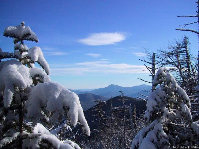
Can anybody identify the sharp prominence at the center of this picture? Also the rise in the foreground? I think I know the answers, but that's by map-reading and elimination rather than familiarity with either of these peaks.
121969.jpg


Big Fat Hint:
The photo was taken from below treeline on the Signal Ridge Trail on Mt Carrigain, probably pointing east by southeast.
 
Jim lombard said:
Thanks DougPaul,
I'd hate to use Dave's nice picture for my own site though. Funny, I've been by that intersection a million times but have never stopped to take a picture!
Besides, that's an increadibly crappy picture. Probably a print scanned on a lousy flatbed scanner. I have others somewhere, perhaps this is the push I need to update that page.

Yuck, don't look at that page. It's hideous.

-dave-
 
JL, I hadn't considered that possibility. The trail mostly stays on the northeast-facing side of the ridge, but on closer inspection there are some spots where a view southward may be possible. If you're right about Tripyramid then the foreground rise may be the unnamed eastern peak of Mt Huntington.

map


Dave or others, if you have good unused photos of Mt Hale, please donate them to the Mt Hale page on Summitpost.
 
nartreb said:
Can anybody identify the sharp prominence at the center of this picture? Also the rise in the foreground?
121969.jpg


My guess for the sharp prominence is Mount Tremont.
Taking a pass on the rise in the foreground
 
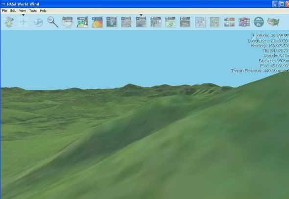
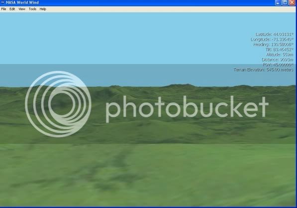
Rainy weekend gave me a chance to play around with Worldwind. I generated some virtual views of a couple of photos in this thread.

Mt Passaconaway from Signal Ridge Trail (the bump just to the left and in front of Passaconaway is Greens Cliff and Potash Mt is the white spot in the middle of Passaconaway)
mtpassaconawayfromCarrigain.jpg


Mount Tremont from Carrigain:
mounttremontfromcarrigainjpgls4.jpg


The screen shots are not too bad, but the ability to fly around gives a much better feeling of the actual terrain. This software is amazing.

Tony
 
Last edited:
Top