grouseking
Well-known member
Friday was a test. It was a test of my physical and mental state. A month ago I hiked Whiteface and nearly passed out with exhaustion and was ready to give up over and over again because the steepness and humidity was killing me. Not to mention the McCrillis trail is freakin' long! I think that trip was about 10 miles or so. Yesterday, my Dad and I attempted the loop around North Moat mountain, which was about a 10.5 mile loop, probably longer because I was looking all over the place to seek out views.
Weather for the day: Sunny, and hot. The humidity was quite low, but I registered a temperature of 78 degrees on the top of Moat Mtn, which means it was probably near 90 in the valley in Conway. There was a nice breeze, I'd estimate around 15 mph. I don't know the exact because I dipped my thermometer/anemometer in the brook to check the water temp (dumb idea) and the anemometer sensor didn't (and still doesn't) work. Crap... By the way, the water temp of Lucy Brook was a bone chilling 49.7 degrees!! It felt good cooling off though....But I'm ahead of myself. Time to start from the beginning.
We arrived at the Diana's Bath trailhead around 9:30ish, only a minute before a large buck darted in front of my dad's car. It was def a close one! After we parked, a huge bus pulled into the lot, filled with probably 30-40 kids, ready to make a splash at Diana's Baths. I listened to the teachers, and apparently, they weren't allowed to go in the water...I understand there is a liability, but that's a bummer for those kids.
Off we went up the trail, to try to get ahead of the large group of kids. I've heard a lot about Diana's Baths, but was kind of bummed with the showing, at least yesterday. I prefer the Basin Cascades trail myself. Still, there were some nice cascades coming down.
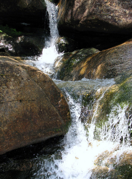
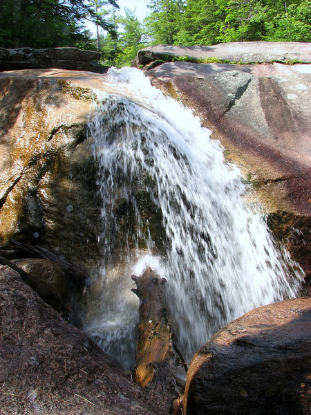
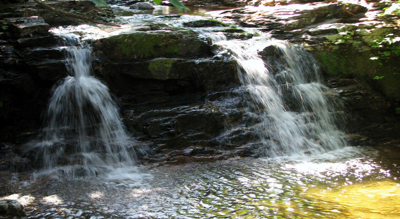
Soon after, the echoing of kids voices quieted down, and we were in spectacular section of the woods, accompanied by the sound of Lucy Brook, which never seemed all that far away. Before the Red Ridge trailhead, I spotted a small cascade off the beaten path. I took its picture. I simply love these small little "dam" falls.
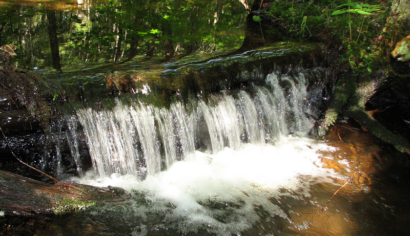
We turned left and headed up the Red Ridge trail, which meandered through some nice mixed forest, from spruce and fir, to hemlock, to nice open hardwood forest. Actually, the majority of it was pretty open, and flat, which would make bushwhacking pretty easy. I noticed there were a lot of stream channels with absolutely no water flowing down them. At first I figured they were just intermittent streams, but there seemed to be too many of them to be that. I wonder if the waterflow was diverted somehow?
Before too long, the steep ascent got underway. Not too long after that, there was a fantastic view off towards the Baldfaces.
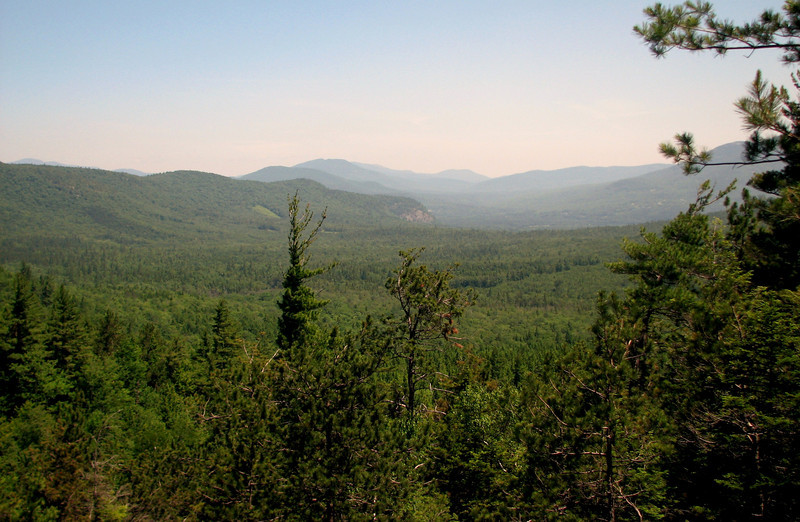
More and more views opened up as we made our way up...it was just a little hazy thanks to the usual morning smogginess that tends to hang low for awhile, but it was def clearing out.
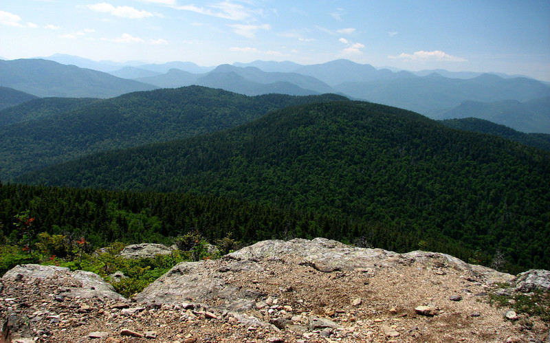
If you hike in the whites, you'll know the peaks
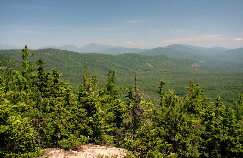
the prominent Kearsarge North
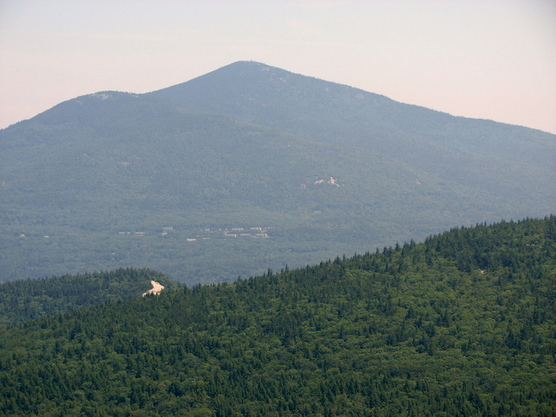
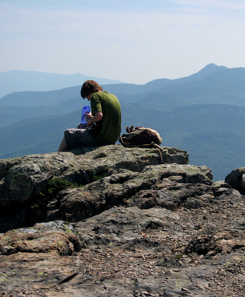
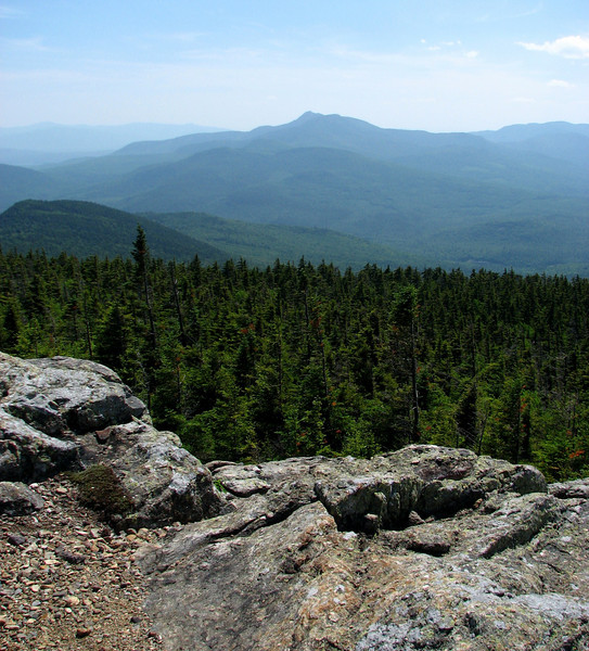
my lunch spot, looking at the ultimate goal
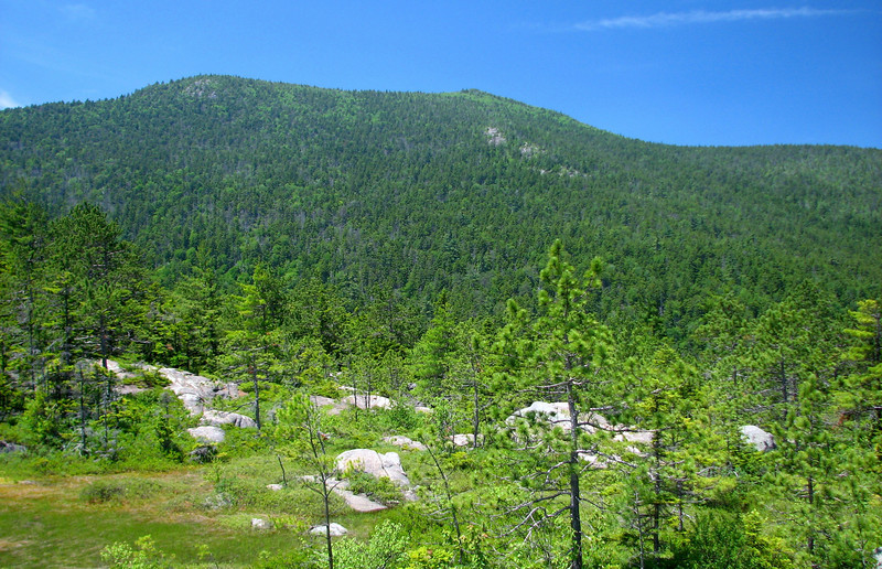
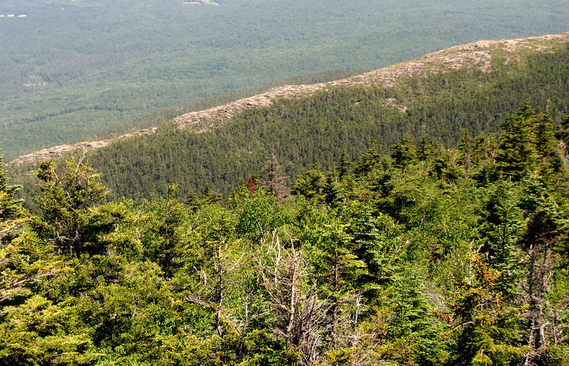
down towards North Conway
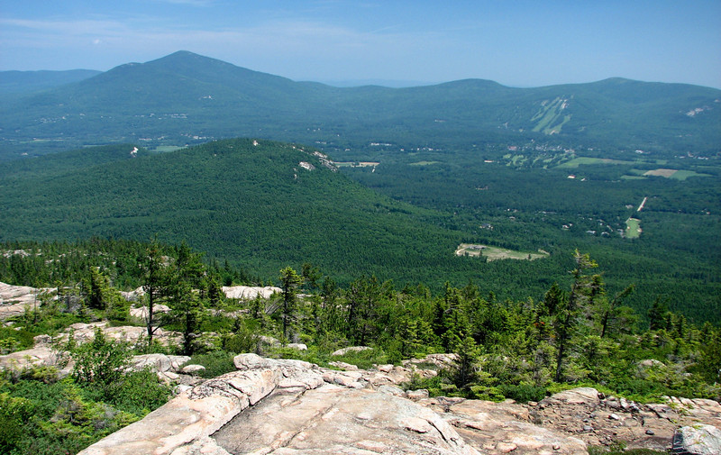
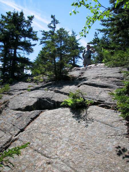
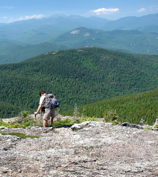
Dad coming up the never ending ridge trail
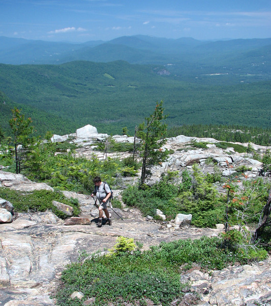
This ridge trail seems to go on forever, and the meds I have to take hit me pretty hard after awhile, so I slowed down quite a bit before we got to the next trail junction. After a forever climb, we went back into the woods again, and this was demoralizing to me, because the wind died, the temp skyrocketed, and it felt like we were never going to get there. Then, my dad nearly stepped on a grouse that parked itself along the trail.
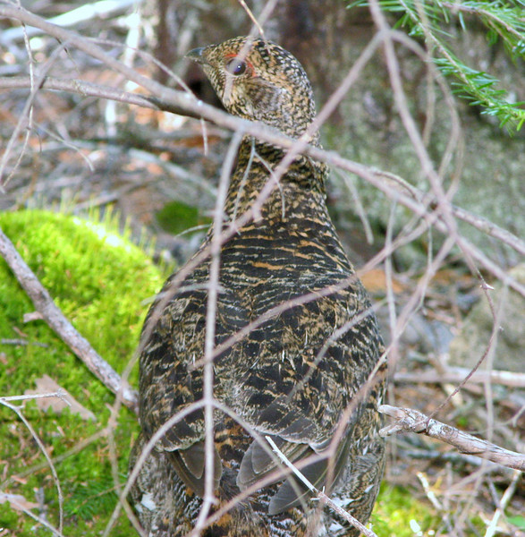
Special thanks to the grouse for helping me slow down, catch my breath, and make my way up to the next junction without passing out!
Well, right around the corner, we made it to the trail junction...lots of nice views there, including...
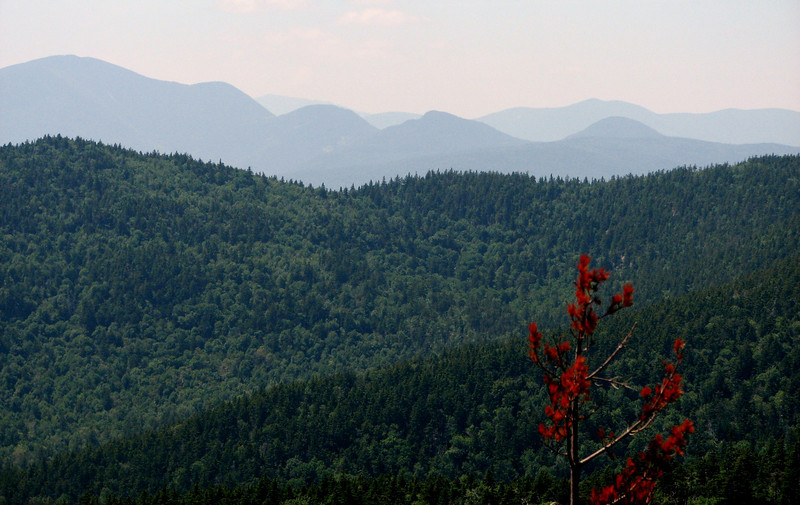
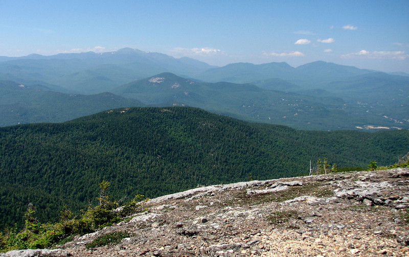
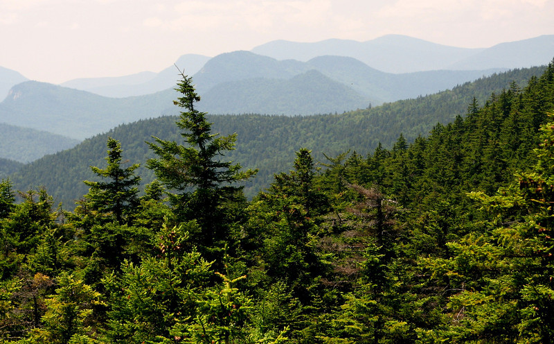
this lovely "Great Smoky Mtn" view of the Pemi
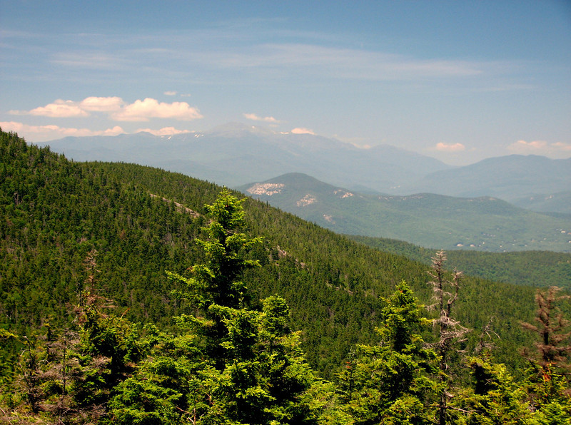
and views to Mount Washington
continued in a few minutes
Weather for the day: Sunny, and hot. The humidity was quite low, but I registered a temperature of 78 degrees on the top of Moat Mtn, which means it was probably near 90 in the valley in Conway. There was a nice breeze, I'd estimate around 15 mph. I don't know the exact because I dipped my thermometer/anemometer in the brook to check the water temp (dumb idea) and the anemometer sensor didn't (and still doesn't) work. Crap... By the way, the water temp of Lucy Brook was a bone chilling 49.7 degrees!! It felt good cooling off though....But I'm ahead of myself. Time to start from the beginning.
We arrived at the Diana's Bath trailhead around 9:30ish, only a minute before a large buck darted in front of my dad's car. It was def a close one! After we parked, a huge bus pulled into the lot, filled with probably 30-40 kids, ready to make a splash at Diana's Baths. I listened to the teachers, and apparently, they weren't allowed to go in the water...I understand there is a liability, but that's a bummer for those kids.
Off we went up the trail, to try to get ahead of the large group of kids. I've heard a lot about Diana's Baths, but was kind of bummed with the showing, at least yesterday. I prefer the Basin Cascades trail myself. Still, there were some nice cascades coming down.


Soon after, the echoing of kids voices quieted down, and we were in spectacular section of the woods, accompanied by the sound of Lucy Brook, which never seemed all that far away. Before the Red Ridge trailhead, I spotted a small cascade off the beaten path. I took its picture. I simply love these small little "dam" falls.

We turned left and headed up the Red Ridge trail, which meandered through some nice mixed forest, from spruce and fir, to hemlock, to nice open hardwood forest. Actually, the majority of it was pretty open, and flat, which would make bushwhacking pretty easy. I noticed there were a lot of stream channels with absolutely no water flowing down them. At first I figured they were just intermittent streams, but there seemed to be too many of them to be that. I wonder if the waterflow was diverted somehow?
Before too long, the steep ascent got underway. Not too long after that, there was a fantastic view off towards the Baldfaces.

More and more views opened up as we made our way up...it was just a little hazy thanks to the usual morning smogginess that tends to hang low for awhile, but it was def clearing out.
If you hike in the whites, you'll know the peaks

the prominent Kearsarge North

my lunch spot, looking at the ultimate goal

down towards North Conway

Dad coming up the never ending ridge trail

This ridge trail seems to go on forever, and the meds I have to take hit me pretty hard after awhile, so I slowed down quite a bit before we got to the next trail junction. After a forever climb, we went back into the woods again, and this was demoralizing to me, because the wind died, the temp skyrocketed, and it felt like we were never going to get there. Then, my dad nearly stepped on a grouse that parked itself along the trail.

Special thanks to the grouse for helping me slow down, catch my breath, and make my way up to the next junction without passing out!
Well, right around the corner, we made it to the trail junction...lots of nice views there, including...
this lovely "Great Smoky Mtn" view of the Pemi

and views to Mount Washington

continued in a few minutes

