On Thursday I was in Boston, and decided to hike Oak Hill on the way back to Thornton. I left Brookline around 7 AM to beat the traffic, and was at the trailhead on Shaker Road a bit before 9 AM. Parking lot was hard, solid ice, so I put my microspikes on immediately. Temperature was about 16° at the trailhead, with basically no wind.
The Tower Trail (see map) rises at easy grades through open woods, climbing about 500 feet in about 2 miles. The trail system is very well signed, with every side trail (there are very many) clearly labelled, and enough blazes for even a beginner to feel comfortable. The summit is very developed; in addition to the fire tower there are two communications towers and many buildings (as well as two picnic tables).
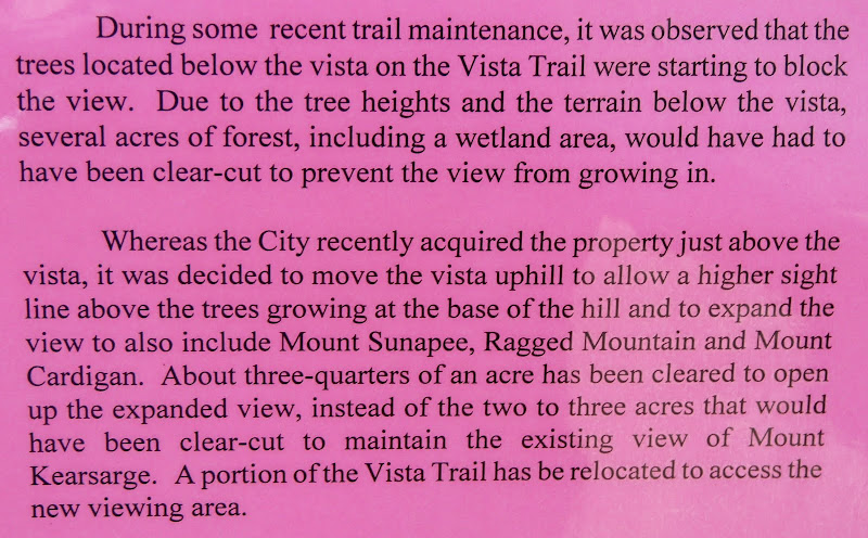
When I come to a large clearing I always make it a point to go around it, seeing what paths (if any) leave it. Here I found (as expected) the road which goes down to Oak Hill Road. Much more interesting, I found a trail (not on the map) going north, then northwest, with lots of footprints in the snow. I obviously followed it (much more fun than going back the way I came); it was in good shape but with no blazes. After a while it started heading west, and in about half a mile it rejoined the Tower Trail at an unmarked junction. Is this an old route to the summit? On the way back I explored the Krupa Loop and the Dancing Bear Trail, and got to the Swope Slope Vista (not very good views yesterday).
Back in my car around noon (temps had risen to about 30°) and resumed my journey after a very pleasant break. The high point, for me, was the exploration of an unmarked (but, given the foot traffic on it, not unknown ) trail.
On a subsequent trip I plan to park on Oak Hill Road and explore the trails that start from that trailhead.
The Tower Trail (see map) rises at easy grades through open woods, climbing about 500 feet in about 2 miles. The trail system is very well signed, with every side trail (there are very many) clearly labelled, and enough blazes for even a beginner to feel comfortable. The summit is very developed; in addition to the fire tower there are two communications towers and many buildings (as well as two picnic tables).
When I come to a large clearing I always make it a point to go around it, seeing what paths (if any) leave it. Here I found (as expected) the road which goes down to Oak Hill Road. Much more interesting, I found a trail (not on the map) going north, then northwest, with lots of footprints in the snow. I obviously followed it (much more fun than going back the way I came); it was in good shape but with no blazes. After a while it started heading west, and in about half a mile it rejoined the Tower Trail at an unmarked junction. Is this an old route to the summit? On the way back I explored the Krupa Loop and the Dancing Bear Trail, and got to the Swope Slope Vista (not very good views yesterday).
Back in my car around noon (temps had risen to about 30°) and resumed my journey after a very pleasant break. The high point, for me, was the exploration of an unmarked (but, given the foot traffic on it, not unknown
On a subsequent trip I plan to park on Oak Hill Road and explore the trails that start from that trailhead.
Last edited:


