Kevin Judy and Emma
Well-known member
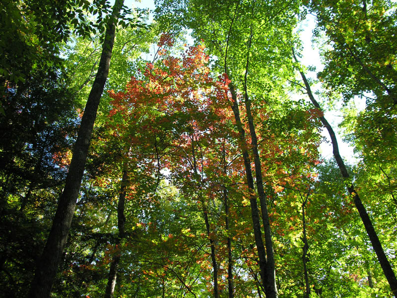
September
Smarts Mountain 3240'
Lambert Ridge Trail/Ranger Trail
11.4 Miles (The way we did it) 2400' (A little more the way we did it)
Kevin, Judy and Emma
I was surprised to find that the drive to this trailhead was further from our house than Pinkham Notch. Beautiful country just east of Vermont and the Connecticutt River. We found Grafton Turnpike easily and found where the AT crosses just as easily, but it was here that I got confused with a not very good map and I didn;t copy the directions off the DOC website, so we parked at the intersection with Dorchester Road and added 1.9 miles to the trip in each direction, but I found some neat mushrooms, an old stove and an AT mileage marker, so it was a worthwhile extension to our hike.
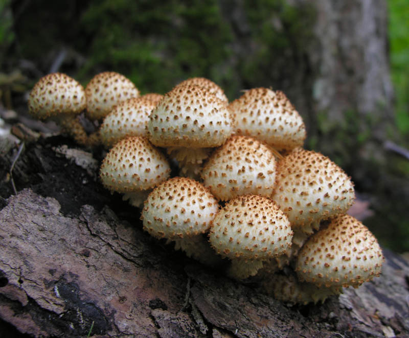
Sharp-scaly Pholiota Pholiota squarrosoides
Once we reached the parking area where we should have been and I swore a few times, we started the short, steep climb up to Lambert Ridge. The climb is mellowed out with switchbacks and we soon found ourselves up on the ledges where there was a view to the south of the Dartmouth Skiway. From there we continued up and over smooth, gray quartzite ledges winding in and out of the mostly deciduous forest with mostly easterly views as we popped out onto the ledges.
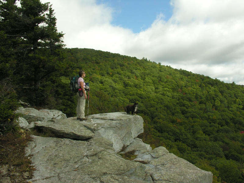
Taking in the views
Eventually we came out onto a ledge where we could see our objective directly to our north. The firetower appeared to be mostly above the trees which we found was a deception when we finally arrived there. From this ledge the trail dropped back down in what had now become a mostly coniferous forest. The trail descended and then eventually began to climb steeply again reaching the junction with the Ranger Trail about 3/4s of a mile below the firetower and the summit. This last part wasa little taxing as by now we were all quite hungry and needed to refuel.
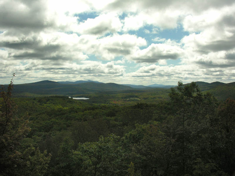
View east to Cardigan and Kearsarge
At the summit we discovered that it was necessary to climb several sets of stairs on the tower to get far enough above the trees to get the outstanding 360 degree views afforded from this mountain. From the southeast I could pick out Kearsarge and scanning north I picked out Cardigan, the Ossipee Range and Mount Shaw rising above the Belknaps, Sandwich Dome, The Sleepers, Whiteface, The Tripyramids, the Osceolas, Kancamagus, and the Hancocks, further north the mountains disappeared into the clouds. Directly to our north was Moosilauke and directly to its west was Blueberry Mtn. Between us and then I decided the highest peak must be Mt. Cube which we have yet to visit.
To the west I could make out Camel's Hump and I think Mansfield north of that, but I wasn't sure because of clouds. Further southwest I could make out Abraham and Ellen, but not Killington. After some lunch and viewing I spent some time picking up broken glass around the base of the tower. Some of it was from the tower which surprisingly had mostly intact windows, but the most was from a wine bottle which if I had to guess what happened I'd say someone smashed a window out of the tower so they could drop the bottle to the ground, because I found shards over a very wide area on the rocks below. Luckily Emma has very tough pads.
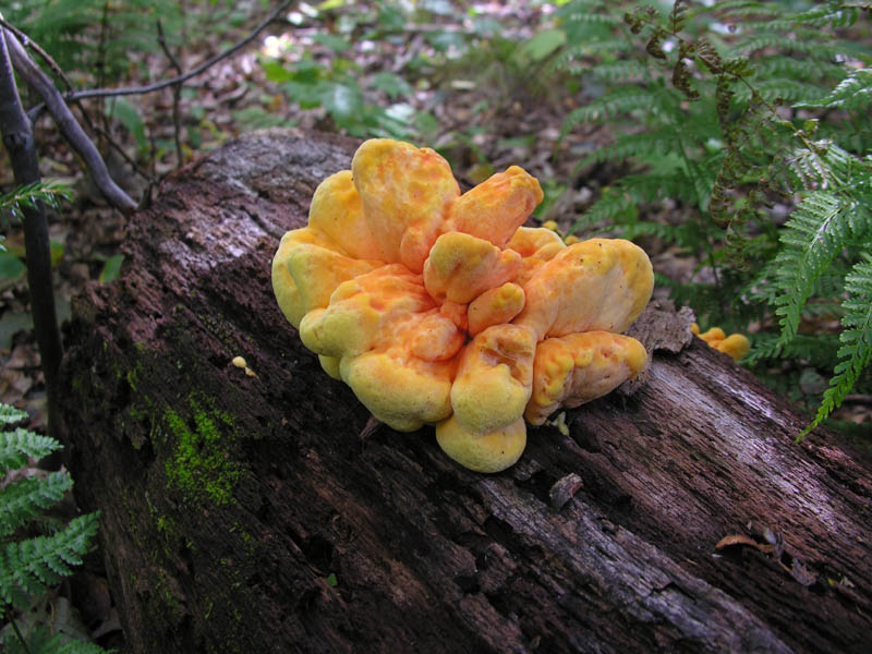
Sulfur Shelf, Chicken of the Woods, Chicken Mushroom
Laetiporus sulphureus
Our exploring was not yet done as we had the ranger cabin to check out, the new, three-sided privy and the tentsite with a beautiful easterly view for sunrise. The cabin was scrawled with typical bathroom grafitti, my favorite of which was, "Nancy Kerrigan Rules!" (After all, we both grew up in the same town and I had her uncle for a hockey coach.) It's a nice little cabin and still quite functional, though I'm sure it has suffered many fools over the years. The privy is new and very well ventilated, to say the least. Most impressive is the campsite. We may have to return for a sunrise.
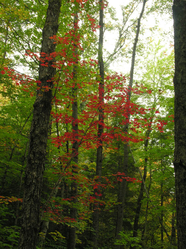
For the return trip we took the much less used and somewhat neglected Ranger Trail which was actually a very nice way down. The woods were beautiful and the day which had been quite cool and windy had warmed up considerably and we were now out of the wind on the leeward side of Lambert Ridge. On the way out we came across the old garage where the rangers used to park and further along we came across the remains of an old car in the woods. All in all it was a very pleasant hike.
Pics here:
http://ghostflowers.smugmug.com/Whi...-Mountain-91909/9697100_Kb6Ue#655347609_HotsP
KDT
