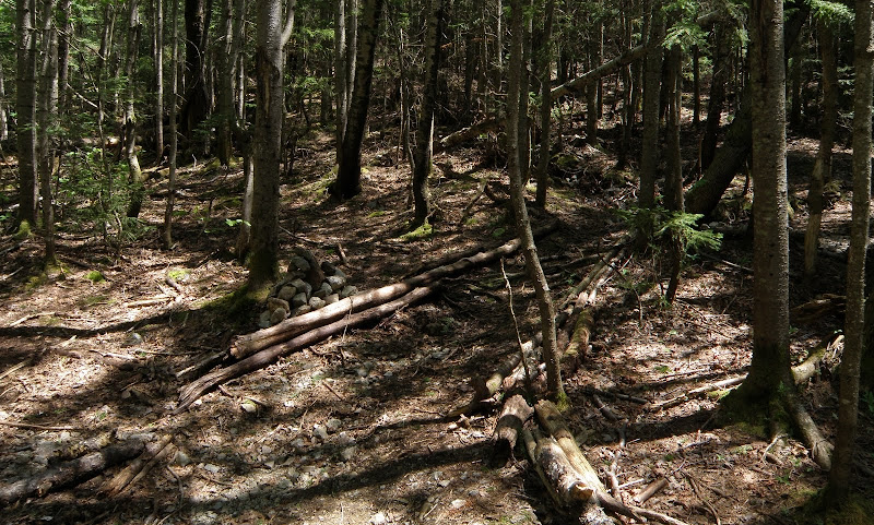
I was there about 10 years ago, and my impressions were that the marked trails were easy to follow, the last (2) stream crossing lacked a bridge and were a little challenging (with my short stature and huge pack) and that the foot of the herd path to Owls Head's summit itself was marked with a cairn about two or three feet height. A well worn path leads you to the summit, first up a steep section up along a slide and then into the wooded summit area. You will come to a small "bump" that is a false summit, keep going and the true summit will appear in about .2 mi. (just a rough estimate, Tom Rankin, before you correct me with GPS readings and book quotes) I well remember the summit was marked with a hand carved "vertical" sign. I wonder if it is still there.
You will need to leave the marked trail and cross a small stream to get to the start of this herd path to the summit. So many people go that I deferred to the footprints when in doubt (but I carried a map, compass and description with me in a zip lock baggie). It is not maintained so you may have to crawl over downed trees. I guess you don't have to take this herd path- I think that the winter route goes up the southern end.
I remember how beautiful this entire area was. Wild flowers, huge erratics in the streams, Franconia Falls was a marvel. Wish I had had a camera. OMG...I need to return there this summer!
Just remember that as much as this area will feel like true wilderness, it is well loved and well traveled so I would camp away from the trails unless you enjoy company.

