Kevin Judy and Emma
Well-known member
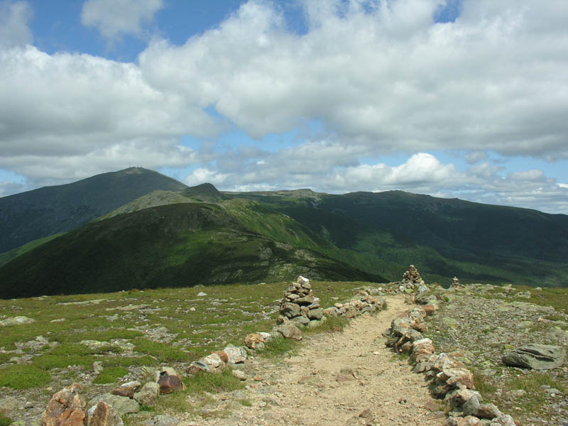
Summit of Eisenhower
Mount Pierce 4312' and Mount Eisenhower 4760'
Crawford Connector, Crawford Path and Mount Eisenhower Loop
9.4 Miles 3000' Elevation gain
Kevin, Judy and Emma
Every now and then you get one of those perfect hiking days. This was it. We arrived in Twin Mountain around 9am in hopes of getting a campsite at Sugarloaf. We knew it would be a long shot, but drove through the CG with our fingers crossed. We had a back up plan in place, but lo and behold, one of the nicest sites was empty! This was starting out great! We quickly pitched the tent, dropped our money in the tube and were ready to be off.
While setting up camp we discussed what a great day it was. We had planned a hike to two viewless summits. Those plans were quickly scrapped. A day like this should be spent above tree line. We drove down to the Clinton Road parking area which was by now beginning to overflow. We got a space near the entrance, grabbed our gear and after a few minor repairs to my backpack, off we went.
The hike along the Crawford Connector was pleasant, the air cool, the sun bright above us. Crossing the small bridge over Gibbs Brook the sun shone down into the water and the bottom lit up like gold. We knew it was going to be a great day! Turning northeast along the Crawford Path we passed several couples and soon realized that one in each pair was blind, being led by the other. Quick reality check to make you appreciate what you've got. I whispered a prayer of thanks to the mountain spirit and felt unworthy.
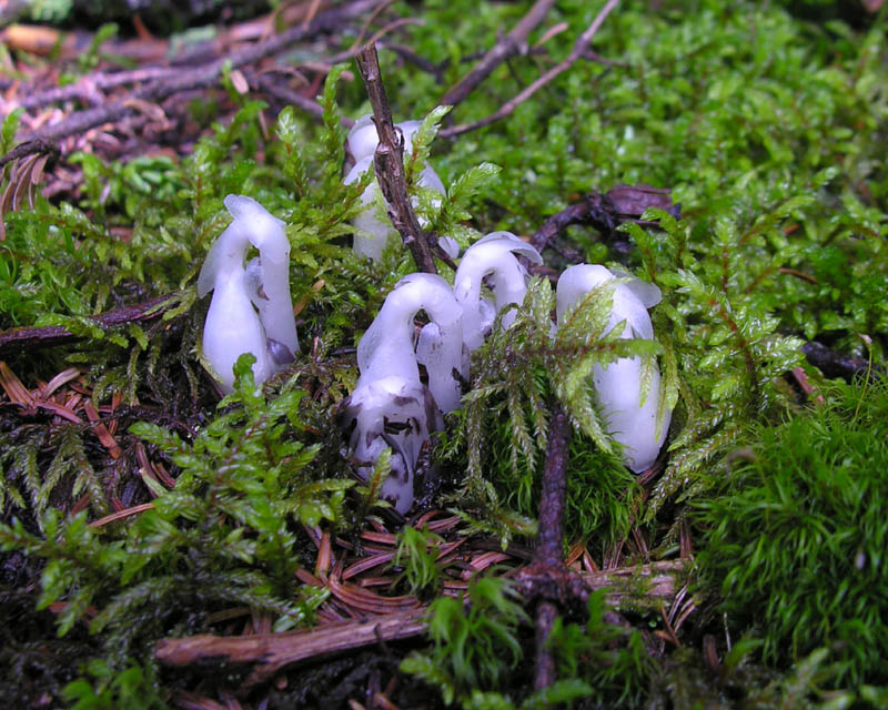
Indian Pipes just lifting up their heads. Monotropa Uniflora
The path was beautiful and lush and before too long the trees separated and there was a view to the north where we could see Mount Eisenhower and the Northern Presidentials. In moments we turned south and made the foolish little climb up to the summit of Mount Pierce. The views were crystal clear in all directions. I dream that if there is a heaven it is similar to this. I dropped my back. I was starving. Jude emerged from a tree visit. "Have you got anything to eat?" I asked, "I don't." While rummaging through my pack for tools to make quick repairs I had unpacked my sandwiches and left them in the haste to hit the trail. Jude shared hers. Thank God it was P, B&J, sometimes I can't even identify what my vegetarian wife is eating.
Well, we split the sandwich and I had some snacks and totally unsatisfied I slung the pack back on my shoulders and we headed off towards Eisenhower. The views would have to sustain me. They did. Looking to the south and west I was amazed at how many 4Ks I could name by sight. I could even name most of the bumps that a lot of list driven folks ignore. It was truly just glorious to be out there on a day like this.
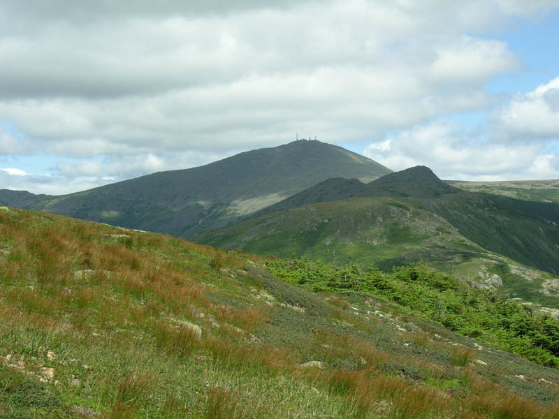
View Northeast from Mount Eisenhower Loop
As we approached the Mount Eisenhower Loop I wondered about the pile of logs we had seen on the summit in June. I was sure that they must have done quite a bit of trail work and was anxious to see what they had done. We soon came upon some wooden steps, then some stairs. The trail had been rerouted and reinforced in several places. Very nice. Much improved. Kudos to the trailworkers who hefted those timbers and broke their backs digging in the gravel to produce such a beautiful trail, but the real surprise was at the summit.
Years before while we were on the summit of Eisenhower I was appalled by a large group of teenagers who were wandering all over the summit and trampling pretty much everything that was trying to grow there. Their leader made no effort to correct them, so I made a calm, pleading attempt. Besides the blank stares and snorting, I was met with, "Well, where are we supposed to walk?" From what I saw there on this trip, scenes like this will be a thing of the past. The huge summit cairn which was more a pile of rocks which looked like it had slid off a dump truck is gone. In its place is a well crafted cairn similar to those found further north in the Presidential Range. The remaining rocks have been used to line the paths approaching from north and south. There is a large stone circle surrounding the cairn and it is possible to sit on the stones to eat, rest, talk, whatever.
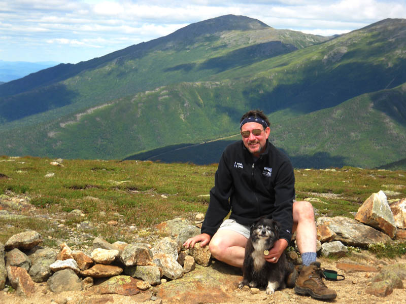
Some Guy with Judy's Dog
We stayed for a good, long while. We met a family that had come up the Ammonoosuc Ravine Trail and were contemplating going over to Pierce. They had a carspot at the Edmands Path Trailhead. We convinced them to come back down the Crawford with us to tag Pierce. The quicker moving son and daughter descended with us. We drove them back up to their car at Edmands. Nice kids, very polite and very thankful for the help. We explained it was really nothing, just what hikers do for each other. The young girl left her water bottle in our car, if they happen to read this I'll gladly send it back.
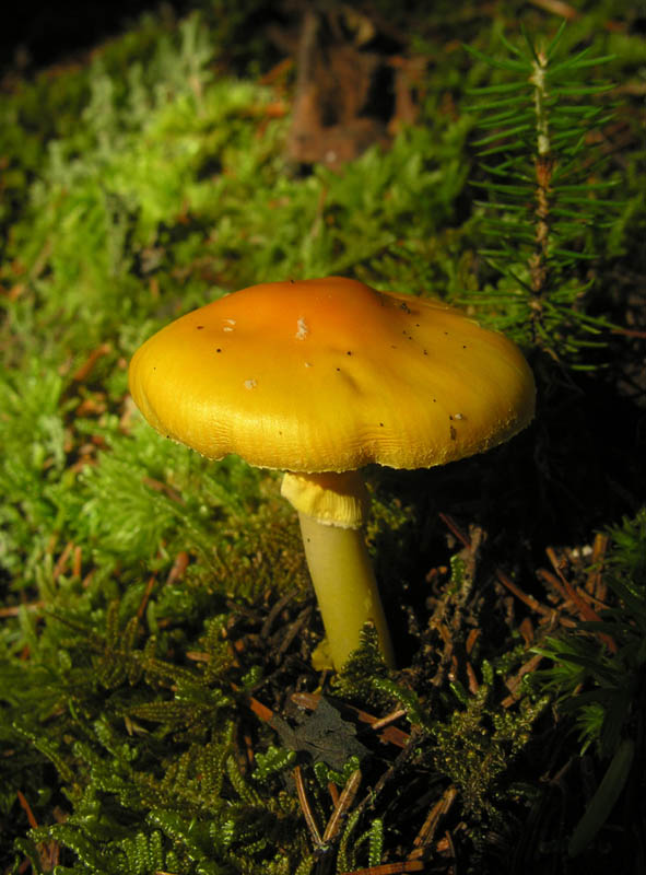
Along the Sugarloaf Trail
What a super day! We crashed early back at the tent. I had eaten my sandwiches left in the car and some more I bought at Brettonwood Station. It was a nice cool night for sleeping and I zonked out. I woke early and realized I could see my breath! It was 37 degrees! Damn, I wish it would snow! We packed up camp and headed over to BW Station again for breakfast, then returned to climb the Sugarloafs for the umpteenth time. The views from there never get old. It was another beautiful morning to hike. It was great to be alive! Monday we went back to hell on earth, but I won't tell you about that. Thank God for the White Mountains!
Complete pics here:
http://ghostflowers.smugmug.com/gallery/9230185_jaAmX#616466469_JeQWs
KDT
Last edited:
