John in NH
Member
Route Totals: 19.5 miles 4850’ gain (with all side spurs, loops, bushwhacks, and backtracks)
Trails: Kedron Flume Trail, Willey Range Trail, Mt. Tom Spur, A-Z Trail, Ethan Pond Trail, Thoreau Falls Trail, bushwhack, Webster Cliff Trail, Saco River Trail, Sam Willey Trail (loops too) Only a redliner would come up with this one.
The morning started with a bonus: my 2 ½ year daughter, aka “The Rooster,” serenaded us with a version of “Mommy come here” from 2 am-4 am. She must have just been excited, knowing something good was in store for me that day on this loop with 13+ new to me miles!
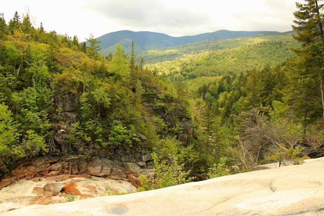
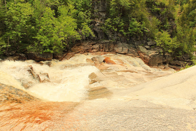
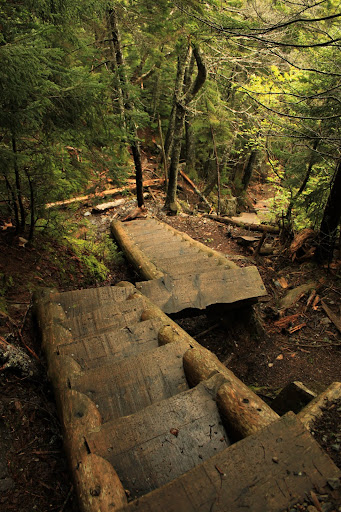
Starting later than I hoped, a bit after 8 am, I headed up the Kedron Flume Trail. The falls were interesting but not blockbuster and I spent a few minutes improvising a tripod with my pack and a rock. Above the falls (easy crossing unless after Irene type rains) it was wet and moderately steep but not bad. Forty minutes into the hike I was starting the steep 1.1 mile segment of the Willey Range trail. The ladders and rough section were fairly wet and I was glad to be heading uphill on it today. I crossed this off my approaches to take in winter list looking down.
Looking down the ladders, they keep going in the right of the photo:
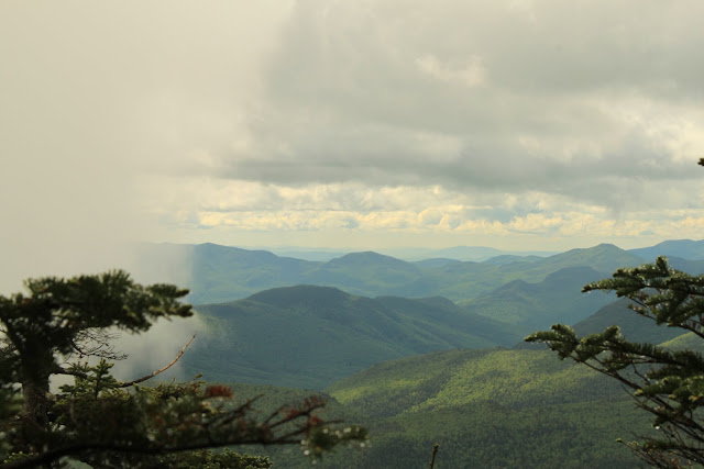
At the top ladder the cloud around me moved to allow views across the Pemi and eastern Sandwich Range to Chocorua. I witnessed the cloud being sucked in a fast downdraft right in front of me—very unique! It looked like a violent downpour but wasn’t.
The photo doesn't convey the motion unfortunately:
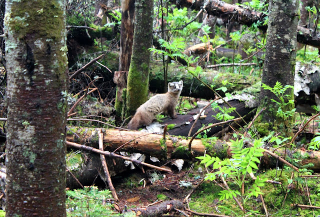
After hitting the three peaks I was back at the tom spur/ a-z junction at exactly the 3 hour mark. A woman there told me she had seen some fisher cats a few minutes before. I said, “do you mean pine martens, like those?” We took a whole bunch of photos of two of them for at least five minutes.
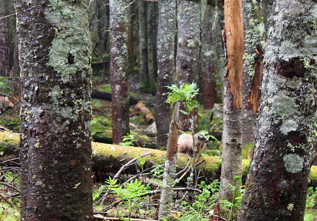
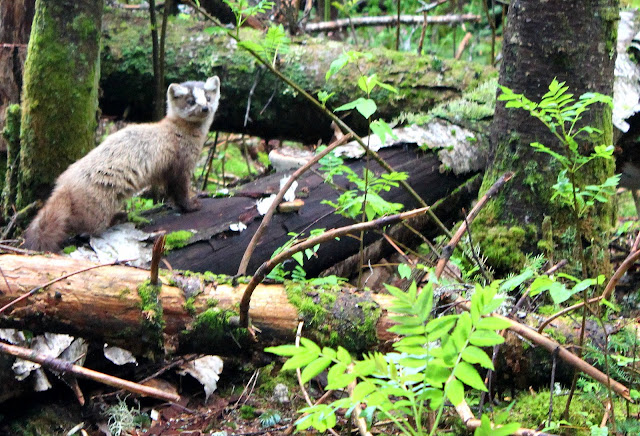
In all my time in the Whites I had never seen a pine marten up close. I know many people have seen them in this spot recently. These guys didn’t seem afraid of people, and acted almost like the grey jays in the same area. I am not sure how I feel about that.
Finally it was time to head down the backside of the A-Z trail to the hut, another new segment. It was mostly gradual and had a little used feel. Lots of green and moss all around. A bit slick that day after the rains. Plenty of wildflowers at the bottom. I used to think that if you moved fast on trail you’d be missing a lot. But I have found the opposite to be true for me recently. I seem to be better at looking for and finding the details in nature.
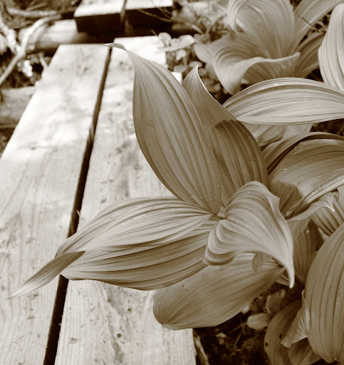
What is this plant? I always see it in marshes and think it lends itself well to b & w
These 3 lady slippers were growing up pushing into a maple leaf:
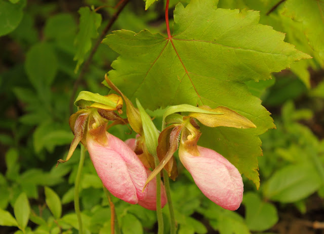
Flower and leaf butterflies:
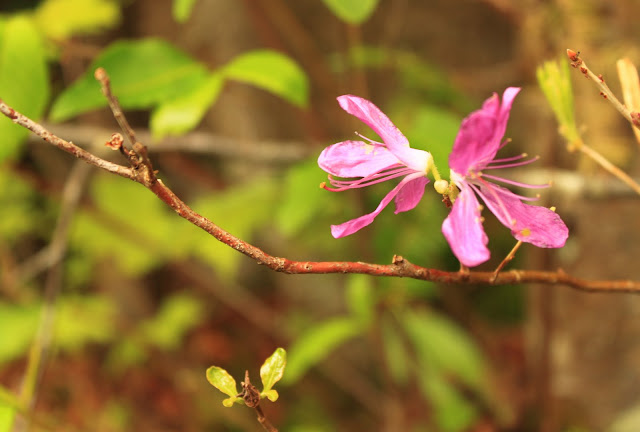
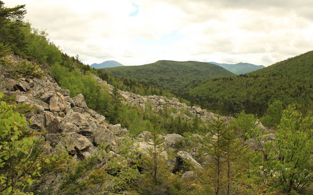
After a rest at the falls and the hut, I headed down the Ethan Pond Trail to one of my favorites spots in the Whites where the trail goes into a wide open area in the talus fields under Whitewall Mountain.
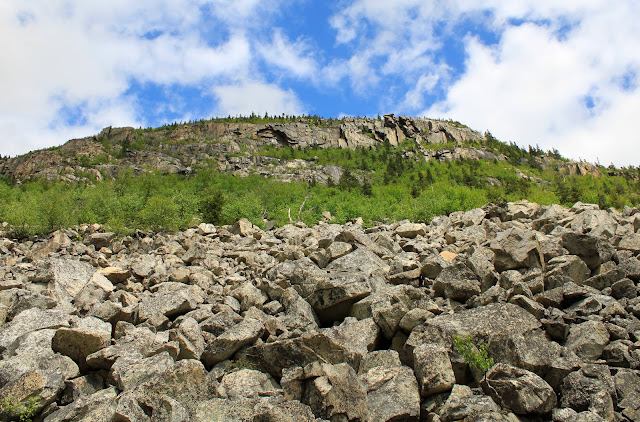
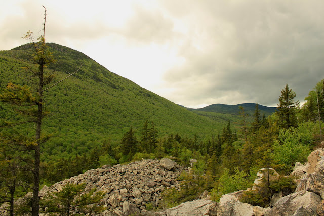
The best viewing spot is a short distance down the Zeacliff Trail near the Pemi Wilderness sign. Rhodora fields in the talus frame everything:
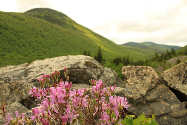
Zeacliff and Hale, with the speck of Zealand hut visible right center:
Carrigain and the Bonds:
