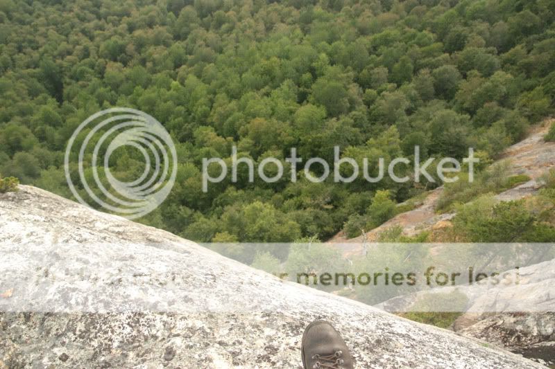
Red Rock Trail

vftt.org

Help Support vftt.org:

This site may earn a commission from merchant affiliate links, including eBay, Amazon, and others.

forestgnome

New member
Joined
Dec 3, 2004
Messages
2,625
Reaction score
600
Location
..Madison, NH
BeccaM and I hiked Great Brook Trail, Red Rock Trail to Speckled Mtn., then back over to Miles Notch, down Miles Notch trail.

The ground was covered with green leaves, as if the area had some strong winds in the recent past...

IMG_9686aaa.jpg


Great Brook Trail is lightly traveled. These slopes have a nice mix of maples and beech and oak...

IMG_9692aaa.jpg


a very soft trail bed...

IMG_9696aaa.jpg


lots of ferns on the ridge....this is at the junction of Red Rock Trail...

IMG_9707aaa.jpg


This trail has been on my mind for a long time. Steve Smith suggested I would like it, which encouraged me to finally get over there, and Becca is redlining.

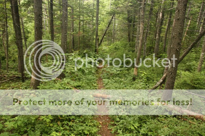
my kind o' trail...some parts look like a moose trail...

IMG_9709aaa.jpg


IMG_9709aaa2.jpg


very nice forest...

IMG_9716aaa.jpg


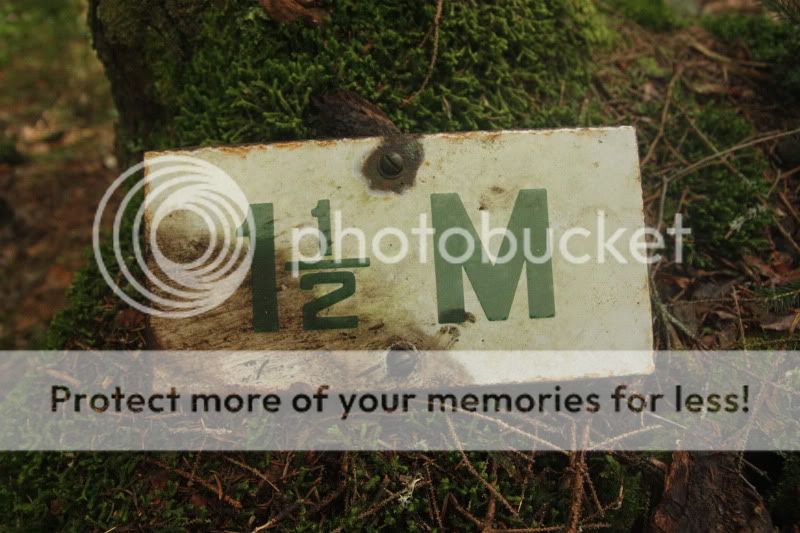
found this old trail sign half buried in some moss...seems to be made of porcelain...has a 1940's or so feel...
IMG_9717aaa.jpg


summit of Durgin Mtn.

IMG_9721aaa.jpg


leaving the summit of Speckled Mtn.

IMG_9744aaa.jpg


continued...
 
Last edited:
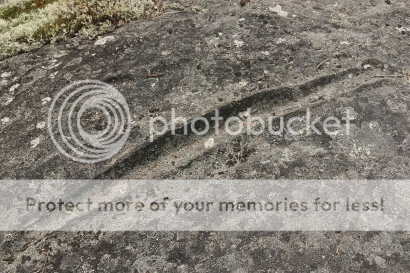
interesting feature carved into the ledge...

IMG_9749aaa.jpg


RRT east of the junction of GBT...

IMG_9751aaa.jpg


view from Butters Mtn....

IMG_9755aaa.jpg


Becca resting on Red Rock Mtn.

IMG_9761aaa.jpg


view NW from Red Rock Mtn., with a pop-up rain shower....

IMG_9763aaa.jpg


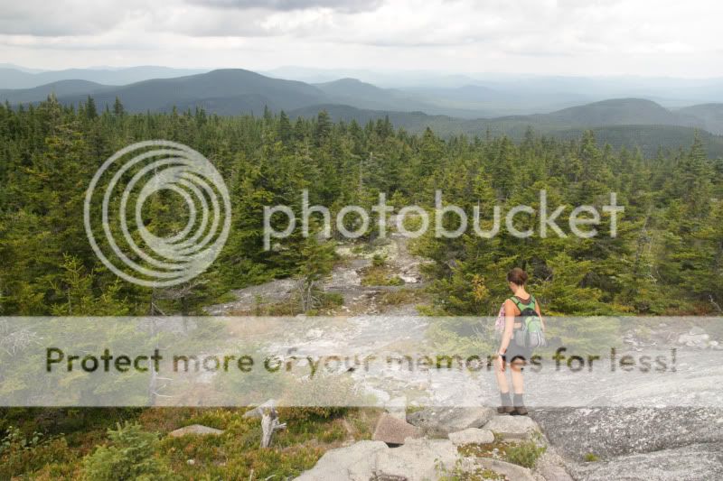
view from the shoulder of Red Rock Mtn...

IMG_9767aaa.jpg


spectacular views from a ledge just off trail ...

IMG_9772aaa.jpg


we could see the leading edge of the huricane approaching...

IMG_9782aaa.jpg


Thanks, Becca, for another awesome day!


If you plan to do this route, note that there is a ~450' gain as you hike out of Miles Notch, from the Beaver Brook up and over the ridge. I think Becca figured out the total elevation gain of this hike...it's a lot.


happy trails :)
 
Last edited:
Isn't that a wild and wonderful area! Your photos definitely capture the essence of that part of the Whites!
Oh! And yes, the elevation gain over in that area is sort under the radar, call it "stealth", if you will!:rolleyes::)
 
Nice report on a great corner of the forest! I really enjoyed the wild feel around there, as well.
 
Great pictures and trail report! I love the old porcelain trail signage. Finding history like this on the trail always excites me. I know they stopped making license plates out of porcelain in the early 20's...maybe it dates back that far???

I can't help but think about the guy who hiked out there to install the sign. When he hiked out there, what kind of equipment he had with him, the fact that he used an old flat tipped screwdriver to install the sign (which no one would use today)! Thanks for uncovering it for other people to notice and continue enjoying. Maybe I'll get up there and see it one day.

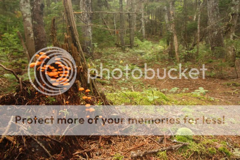
The trail does look nice and almost untouched in places based on your photos. Great picture of the orange mushrooms on the stump as well as the rain shower photo.

Keep up the the great documentary of BeccaM redlining...it's really enjoyable!
Karl
 
That sign looks like stenciled enamel on steel. Built to last. They even used washers under the screws (to prevent cracking?)
 
Awesome trip! Great pics!


The feature in the ledge could be on of these. Was there just one or were there several in the area?

Again...thanks for sharing.

HI! the gouge was maybe a couple of feet long and seemed isolated. It looked like it was gouged when it was formed rather than gouged by erosion because the sides seemed to extend above the surface of the rock. So, not sure it was a striation (i've seen a few striations, especially on monadnock). Good idea, tho!!!!!
 
Top