Becca M
Active member
5/5/2012 – Sandwich Dome and a Few Ponds
Needed a final section of Guinea Pond Trail so I looped from the Bennett Street Trailhead to Flat Mountain Pond Trail down to Guinea Pond Trail past the lower junction with Black Mountain Pond Trail, back north and up Black Mountain Pond Trail, Algonquin, over the Dome, down Bennett Street, detour north on Flat Mountain Pond as far as the beaver pond, and back out via Bennett Street (south end). Along the way I chatted with LarryD – he was on his way back from fly fishing at the Flat Mountain Ponds.
A fun day! I threw in some bushwhacks around some railroad interest points and enjoyed some great views along the way. Goretex feet only stay dry so long. Never a slog, though!!! I jogged what I could but my pack was still too heavy… next time, note to self: no need to carry so much water when it’s EVERYWHERE!!!! I also was passed by a guy trailrunning over the top of Sandwich Dome – he was moving quite fast with his very friendly black lab.
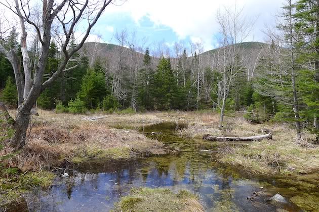
One of the first vistas – I think it was along the Guinea Pond Trail:
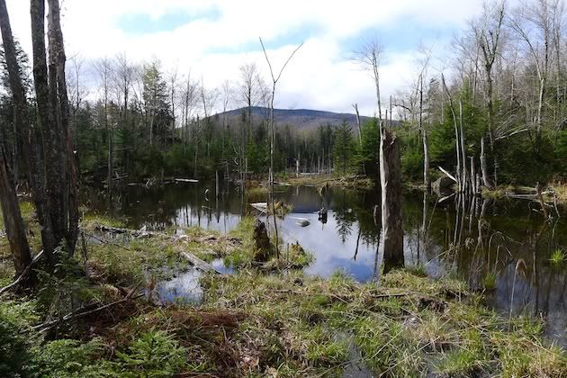
A side trip into a logging area led me to this ideal watering hole. I might be back in the summer when the water’s warmer. But then again, maybe it would only be a trickle!!!
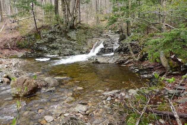
Further down Guinea Pond Trail, I decided to take the spur to Guinea Pond. I was pretty sure I had been there but didn’t remember it. Since then, I had tried to visit again and been thwarted by the beaver pond along the way. I tried to bushwhack around the north end then but it didn’t end well in the boot-sucking mud. This time I was heading in no matter what.
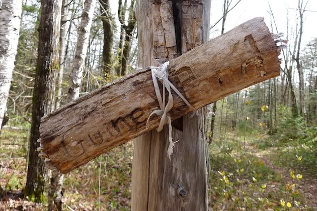
I love this sign – looks the same as it did last time I was here. Love the string!!!!
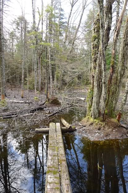
Through the beaver bog. This time I noticed the bog bridge. Past the bridge were some slippery submerged logs. I didn’t have poles this time so it was a fun dance on tippy-toes!!! Actually, I assigned my right foot to getting soaked.
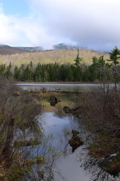
At the pond there was a neat fire pit against a sitting rock along with a stash of firewood. Nobody had been on the trail between the swamp and the pond in a while. Here's a shot of Guinea Pond - the fog was still clearing.
From Guinea Pond, I poked around the Guinea Pond Trail near the lower beaver pond reroute and headed back north to the Black Mountain Pond Trail. It’s pretty gentle and passes the large beautiful Black Mountain Pond though the trail doesn’t come super-close to the edge of the pond.
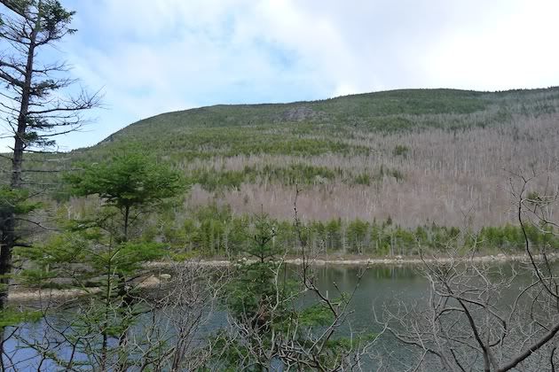
Here's a shot looking across Black Mountain Pond to the ledges of the ridge to Sandwich Dome; the trail gets VERY steep from the pond to the ridge.
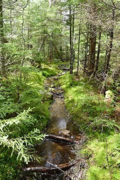
There are some VERY wet sections of trail. But, with all the water all week, the green hues were AWESOME!!!
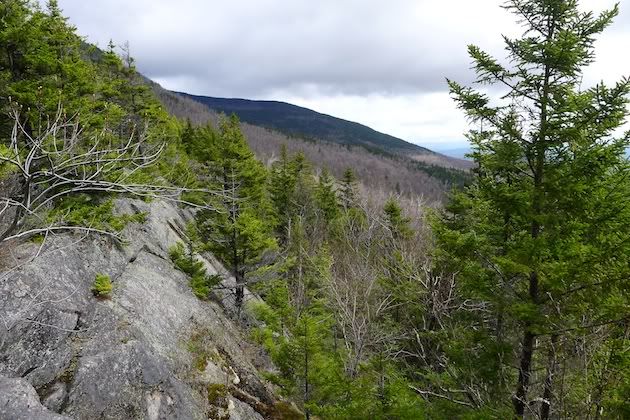
After steeply climbing, the trail scrambles up these ledges:
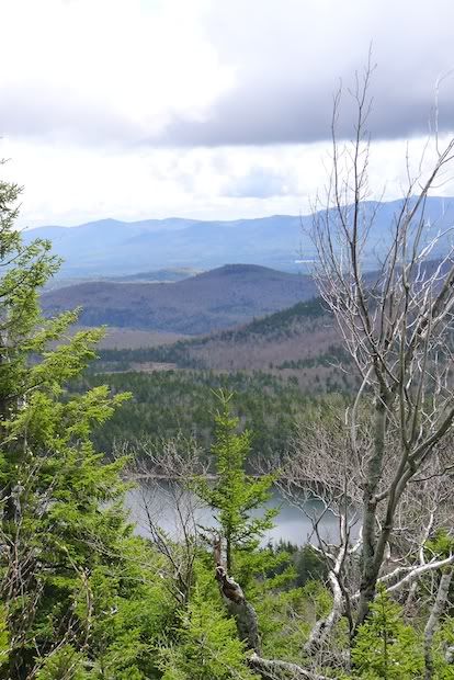
Passing an outlook back down to Black Mountain Pond:
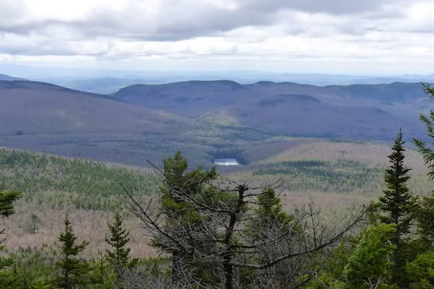
Another outlook to the hills east of the ridge:
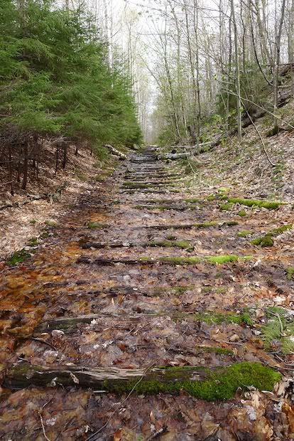
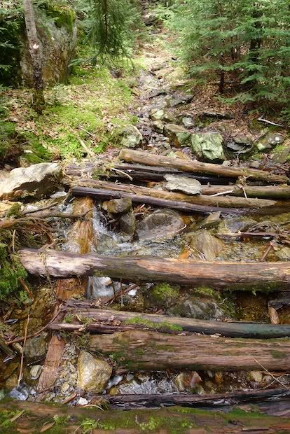
From there, the ridge opened up and flattened and I took a right onto the Algonquin Trail, hit Sandwich Dome, and headed down the Bennett Street Trail. The upper sections of the Bennett Street Trail have more corduroy road “bridges” than any trail I’ve been on recently. I think I counted more than four sections like this:
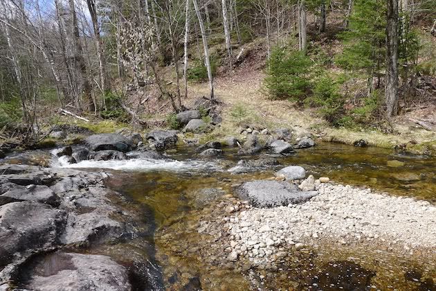
And once back to Flat Mountain Pond Trail, I had time so I headed north to the horseshoe curve. The last major water crossing before the curve is quite sunny. I’ve walked it, skied it, and carried a bike over it. It’s always pretty and it feels SO remote!
~continued in next reply~
Needed a final section of Guinea Pond Trail so I looped from the Bennett Street Trailhead to Flat Mountain Pond Trail down to Guinea Pond Trail past the lower junction with Black Mountain Pond Trail, back north and up Black Mountain Pond Trail, Algonquin, over the Dome, down Bennett Street, detour north on Flat Mountain Pond as far as the beaver pond, and back out via Bennett Street (south end). Along the way I chatted with LarryD – he was on his way back from fly fishing at the Flat Mountain Ponds.
A fun day! I threw in some bushwhacks around some railroad interest points and enjoyed some great views along the way. Goretex feet only stay dry so long. Never a slog, though!!! I jogged what I could but my pack was still too heavy… next time, note to self: no need to carry so much water when it’s EVERYWHERE!!!! I also was passed by a guy trailrunning over the top of Sandwich Dome – he was moving quite fast with his very friendly black lab.
One of the first vistas – I think it was along the Guinea Pond Trail:

A side trip into a logging area led me to this ideal watering hole. I might be back in the summer when the water’s warmer. But then again, maybe it would only be a trickle!!!

Further down Guinea Pond Trail, I decided to take the spur to Guinea Pond. I was pretty sure I had been there but didn’t remember it. Since then, I had tried to visit again and been thwarted by the beaver pond along the way. I tried to bushwhack around the north end then but it didn’t end well in the boot-sucking mud. This time I was heading in no matter what.
I love this sign – looks the same as it did last time I was here. Love the string!!!!

Through the beaver bog. This time I noticed the bog bridge. Past the bridge were some slippery submerged logs. I didn’t have poles this time so it was a fun dance on tippy-toes!!! Actually, I assigned my right foot to getting soaked.

At the pond there was a neat fire pit against a sitting rock along with a stash of firewood. Nobody had been on the trail between the swamp and the pond in a while. Here's a shot of Guinea Pond - the fog was still clearing.

From Guinea Pond, I poked around the Guinea Pond Trail near the lower beaver pond reroute and headed back north to the Black Mountain Pond Trail. It’s pretty gentle and passes the large beautiful Black Mountain Pond though the trail doesn’t come super-close to the edge of the pond.
Here's a shot looking across Black Mountain Pond to the ledges of the ridge to Sandwich Dome; the trail gets VERY steep from the pond to the ridge.

There are some VERY wet sections of trail. But, with all the water all week, the green hues were AWESOME!!!

After steeply climbing, the trail scrambles up these ledges:

Passing an outlook back down to Black Mountain Pond:

Another outlook to the hills east of the ridge:

From there, the ridge opened up and flattened and I took a right onto the Algonquin Trail, hit Sandwich Dome, and headed down the Bennett Street Trail. The upper sections of the Bennett Street Trail have more corduroy road “bridges” than any trail I’ve been on recently. I think I counted more than four sections like this:

And once back to Flat Mountain Pond Trail, I had time so I headed north to the horseshoe curve. The last major water crossing before the curve is quite sunny. I’ve walked it, skied it, and carried a bike over it. It’s always pretty and it feels SO remote!

~continued in next reply~
Last edited:

