yvon
Active member
South Crocker-Crocker-Redington, june 12 2010
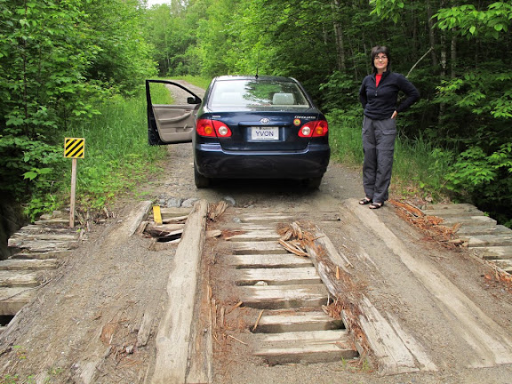
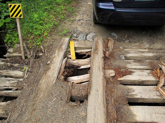
Having slept in Stratton, we are early on the road to our next Maine summits. Today, South Crocker, Crocker and Redington are on our target by the Caribou Valley Road. The Caribou Valley Road (CVR) or Caribou Pound Road is in very bad condition. Full of holes, bridges are borderline passable. So in poor condition, to not destroy my car, a Toyota Corolla 2003, I took 35 minutes for 3.9 miles. And 3.9 miles is the maximum a car could do.
The weather was cloudy at first, but the clouds are not threatening. So we begin with S. Crocker. The AT to Crocker, was a little wet and some muddy patches. The summit reached fairly quickly. Suddenly, we heard a noise in the forest. Immediately Annie begins to speak loudly and said, we're going straight to the second summit. Crocker is also easily reached. Back to S. Croker, the visitor that we had heard seems to have left it to scare other hikers. The Herd Path to Redington is not easy to find and follow. There is a portion of the trail is a Bushwhack, you should have seen Annie, she ate bushwhack.
It's very easy to make mistakes and lose the trail. Good thing I had my GPS and I realized that I headed to Crocker. I should have checked more often my route on my GPS, which would have saved a little time. Finally, we reached the Redington. After discussion, because Annie is not a Bushwhack fan, we change our plans and decided to return by way of the CVR and make a loop.
Back in the car, we prepare mentally to do almost the hardest part, which is to drive a second time on the CVR.
After reaching the road, we breathe a little.
Now we are at 109/115
PHOTOS OF S.CROCKER-CROKER-REDINGTON


