We decided to hike the Attitash trail (and Moat Mountain trail) as a traverse from Bear Notch Rd over to West Side Rd in Conway. This is the same trail where the newscaster Ted O'Brien got lost a few years back. This trail has been adopted and has seen recent trail maintenance work done on it.
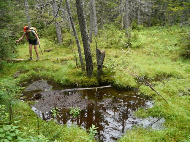
We did not find the trail difficult to follow at all. There is only one section approaching Big Attitash from the west where the trail gets boggy and muddy and could be difficult to get around and get back on the trail. Actually there are many existing, old blazes to help find the way although the foot bed is fairly easy to follow. There are many fresh blowdowns along the way. We cleaned up quite a few but didn't have time for all of them. Some sections of the trail could use some brushing, like many trails in the Whites. Overall, we didn't find this trail any more difficult to follow than any of the other lesser travelled trails in the Whites.
From the summit of Big Attitash down to West Side Rd via the Attitash and Moat Mountain trails, the trails are well blazed with fresh yellow blazes. Near some of the numerous water crossings, one has to pay attention to the blazes or be sure to pick out the trail on the other side of the river as the woods can be wide open and it could be easy to leave the trail if not paying attention.
Some pictures.
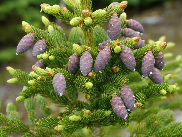
Red Spruce cones.
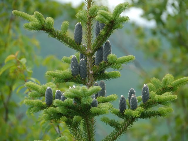
Balsam Fir cones.
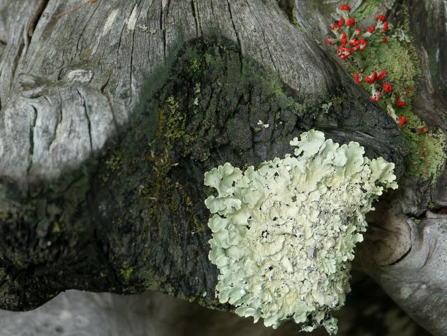
Evidence of the fire on Table Mountain a number of years ago with lichens growing on the charred bark.
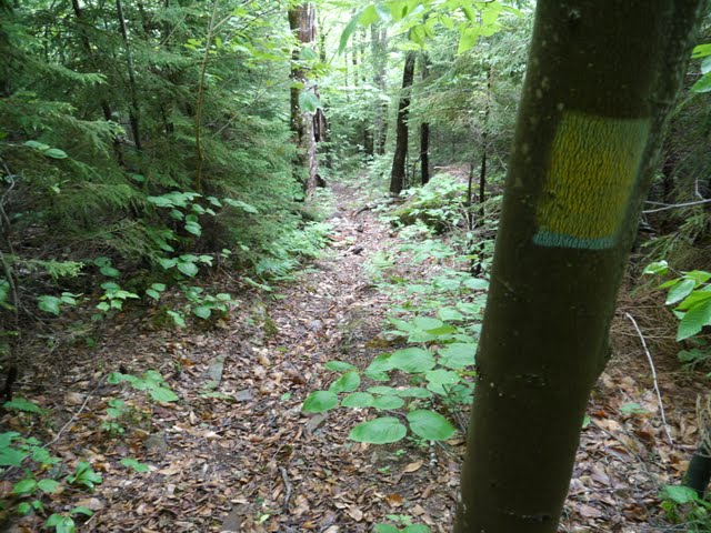
A section of the Attitash trail descending from Table Mountain. An old blue blaze covered with a now old yellow blaze. This was the most noted color scheme.
One of several small water crossings on the Attitash trail. There are numerous bigger crossings (we got wet feet) once off the Attitash trail and on the Moat Mountain trail.
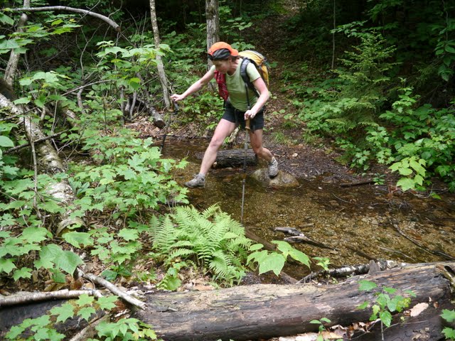
One section of blowdowns.
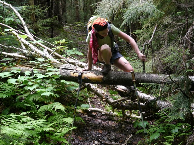
A steep uphill section with a yellow blaze.
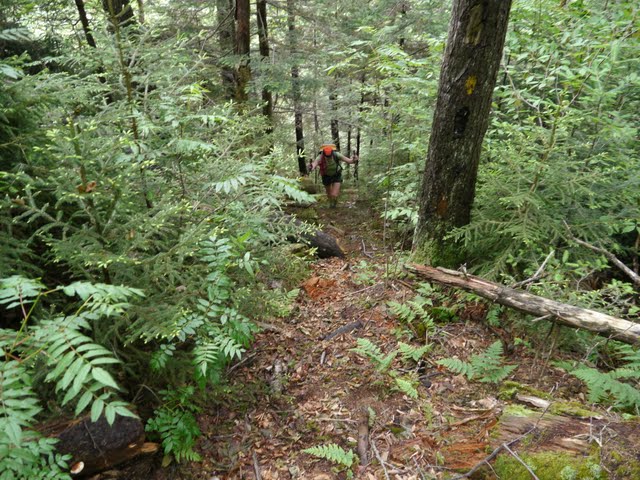
We cleaned up quite a few blowdowns and dragged a lot of stuff off the trail.
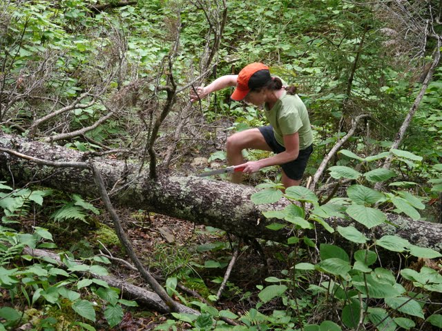
The toughest section of the day approaching Big Attitash from the west. Pay attention here to be sure the trail is found. It could be very difficult to stay on trail here.
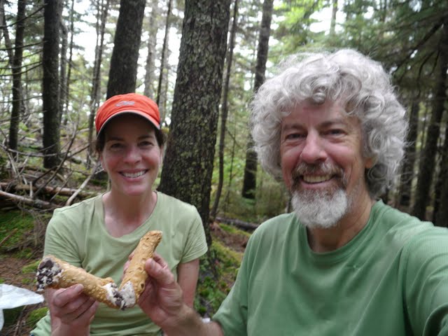
Cannoli's (from the Mountain Bean in Twin Mountain) on the summit of Big Attitash. Delicious!
We did not find the trail difficult to follow at all. There is only one section approaching Big Attitash from the west where the trail gets boggy and muddy and could be difficult to get around and get back on the trail. Actually there are many existing, old blazes to help find the way although the foot bed is fairly easy to follow. There are many fresh blowdowns along the way. We cleaned up quite a few but didn't have time for all of them. Some sections of the trail could use some brushing, like many trails in the Whites. Overall, we didn't find this trail any more difficult to follow than any of the other lesser travelled trails in the Whites.
From the summit of Big Attitash down to West Side Rd via the Attitash and Moat Mountain trails, the trails are well blazed with fresh yellow blazes. Near some of the numerous water crossings, one has to pay attention to the blazes or be sure to pick out the trail on the other side of the river as the woods can be wide open and it could be easy to leave the trail if not paying attention.
Some pictures.
Red Spruce cones.

Balsam Fir cones.

Evidence of the fire on Table Mountain a number of years ago with lichens growing on the charred bark.

A section of the Attitash trail descending from Table Mountain. An old blue blaze covered with a now old yellow blaze. This was the most noted color scheme.

One of several small water crossings on the Attitash trail. There are numerous bigger crossings (we got wet feet) once off the Attitash trail and on the Moat Mountain trail.

One section of blowdowns.

A steep uphill section with a yellow blaze.

We cleaned up quite a few blowdowns and dragged a lot of stuff off the trail.

The toughest section of the day approaching Big Attitash from the west. Pay attention here to be sure the trail is found. It could be very difficult to stay on trail here.

Cannoli's (from the Mountain Bean in Twin Mountain) on the summit of Big Attitash. Delicious!


