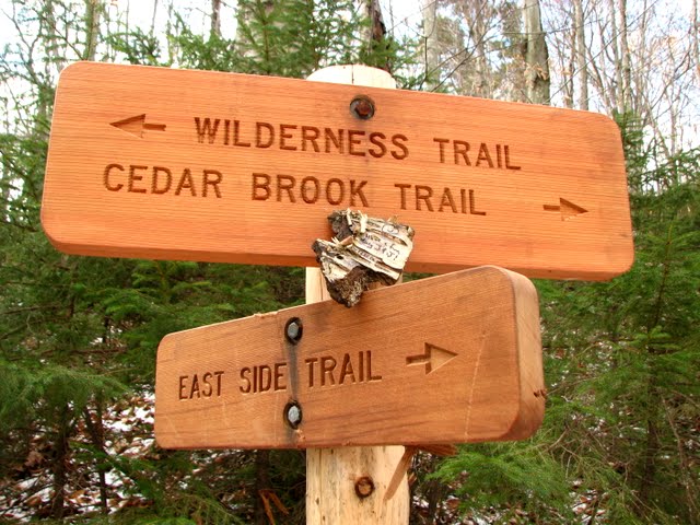
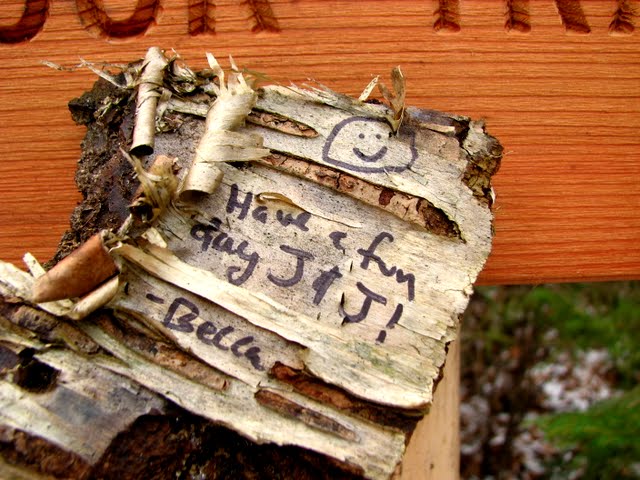
Becca M
Active member
11/19/11 - a beautiful day to explore and revisit gems of the past!!! Itinerary was exploring the North Fork of the Pemi River, Thoreau Falls Trail, and Thoreau Falls. I alternated between trailrunning and bushwhacking.
First of all, as USUAL, I biked to *near* the Wilderness boundary on the Pemi East Side Trail. I wonder if the culvert will ever be repaired? There are some nasty washouts that made mtn biking difficult!!!
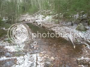
After the Wilderness Boundary, I hit what I call the, "Canal Zone"... see for yourself. The pic is out of focus, but, you get the idea. BTW, I was using a small point-and-shoot, so, the picture quality was EH.
Canal Zone on the East Pemi Trail:
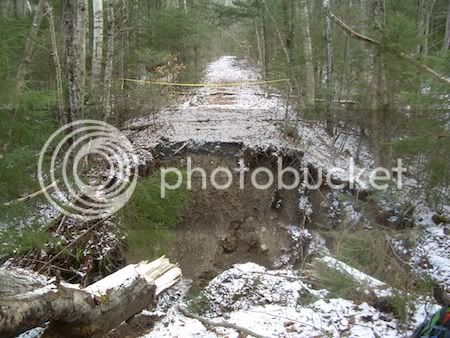
Next, I headed up past the Cedar Brook Junction and came to this washout:
At the river crossing near the location formerly known as the "suspension bridge," I always wondered about this pipe. It's maybe a foot in diameter and originates in a rockpile about 100' upstream... some kind of water filling station for the steam engines?
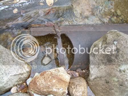
After the rickety bridge at the base of the Thoreau Falls Trail, I cut into the woods west and eventually found a crossing (albeit dicey) across the North Fork at the junction with the Pemi. Heading north, I found some fun stuff, but, at times the area was pretty soggy:
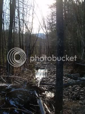
Continuing northward I found interesting rock formations in the North Fork and this odd structure. It isn't a corduroy road since it doesn't go anywhere. But, what is it?
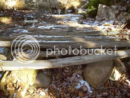
I eventually joined the old Thoreau Falls Trail on the west side of the North Fork. It was VERY peaceful:
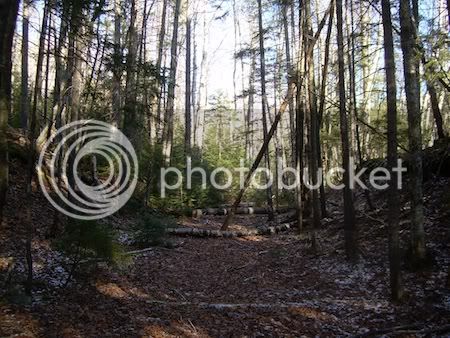
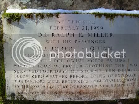
Towards Jumping Brook I found the low-to-ground plaque to the downed plane crew - very sad! I felt a little somber!!!
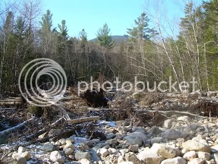
Near Jumping Brook (LOVE THAT NAME) was a huge debris field that looked like an avalanche area... I am guessing Irene did it!!!! WOW!!!
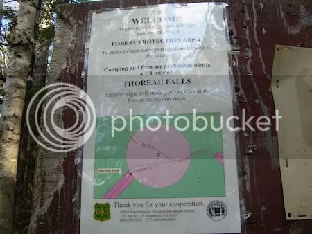
Finding my way BACK across the North Fork, I continued on up to Thoreau Falls... OH THE MEMORIES of last February when Doug Paul and I skied to Thoreau Falls from Lincoln Woods. It was horribly cold and dark; we were under headlamp much of the time.... I felt such joy when my headlamp FINALLY lit up the 1/4 mi to Thoreau Falls sign - it seemed to glow in the dark, but, I was semi-delirious!!!! It was a welcome sight again!!!! Things look much saner in daylight! It was awesome to be on the Thoreau Falls Trail again!!!!
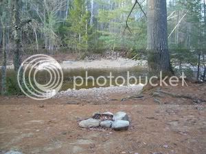
On the jog out I explored the south side of the RR crossing near the Thoreau Falls Trail bridge and found this campsite at the crossings. The sandy beach looked AWESOME filled with all kind of hoof impressions, both large and small. I added my footprints to the mix.
The last mile I had the pleasure of walking out with J&J - the only souls I saw all day - an EXCELLENT day!!!
First of all, as USUAL, I biked to *near* the Wilderness boundary on the Pemi East Side Trail. I wonder if the culvert will ever be repaired? There are some nasty washouts that made mtn biking difficult!!!
After the Wilderness Boundary, I hit what I call the, "Canal Zone"... see for yourself. The pic is out of focus, but, you get the idea. BTW, I was using a small point-and-shoot, so, the picture quality was EH.
Canal Zone on the East Pemi Trail:

Next, I headed up past the Cedar Brook Junction and came to this washout:

At the river crossing near the location formerly known as the "suspension bridge," I always wondered about this pipe. It's maybe a foot in diameter and originates in a rockpile about 100' upstream... some kind of water filling station for the steam engines?

After the rickety bridge at the base of the Thoreau Falls Trail, I cut into the woods west and eventually found a crossing (albeit dicey) across the North Fork at the junction with the Pemi. Heading north, I found some fun stuff, but, at times the area was pretty soggy:

Continuing northward I found interesting rock formations in the North Fork and this odd structure. It isn't a corduroy road since it doesn't go anywhere. But, what is it?

I eventually joined the old Thoreau Falls Trail on the west side of the North Fork. It was VERY peaceful:

Towards Jumping Brook I found the low-to-ground plaque to the downed plane crew - very sad! I felt a little somber!!!

Near Jumping Brook (LOVE THAT NAME) was a huge debris field that looked like an avalanche area... I am guessing Irene did it!!!! WOW!!!

Finding my way BACK across the North Fork, I continued on up to Thoreau Falls... OH THE MEMORIES of last February when Doug Paul and I skied to Thoreau Falls from Lincoln Woods. It was horribly cold and dark; we were under headlamp much of the time.... I felt such joy when my headlamp FINALLY lit up the 1/4 mi to Thoreau Falls sign - it seemed to glow in the dark, but, I was semi-delirious!!!! It was a welcome sight again!!!! Things look much saner in daylight! It was awesome to be on the Thoreau Falls Trail again!!!!

On the jog out I explored the south side of the RR crossing near the Thoreau Falls Trail bridge and found this campsite at the crossings. The sandy beach looked AWESOME filled with all kind of hoof impressions, both large and small. I added my footprints to the mix.

The last mile I had the pleasure of walking out with J&J - the only souls I saw all day - an EXCELLENT day!!!

