PETCH
New member
Crockers and Redington (ME), 10/30/2010
Date of Hike: 10/30/10
Peaks/Trails: North Crocker, South Crocker, and Redington via AT, herdpath and bushwack
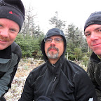
Cast of Characters: CrazyBob, Jim, Petch, and Henrietta
Trail Conditions: Fairly dry with a dusting of snow at elevation
Trip data: about 9.5 miles, 3450ft ele gain, 6 hrs hiking, about 6 hrs driving
Just a few comments:
- Yeah, I know: weak title. I've had a bit of writer's block lately.
- 12 ME 4k's down, 2 to go- they're up in Baxter. What, a hike in Baxter without black flies? nonsense. So probably next spring.
- Caribou Valley Road about the same as last week- but with Bob driving this week in the F150, it took only 10 minutes to travel the 4 miles. It was kinda like a Dukes of Hazard episode, without the rebel flag and Daisy Duke . Jim and I were white-knuckling the door handles and didn't dare drink a sip of coffee. Brought back memories of driving through the potato fields in Aroostook county in my buddies VW beetle. Life was simple back then........
- The dangest thing (notice the use of "dang" again), 10 yards into the hike I found a pair of white Victoria's Secret female undies smack dab in the middle of the trail? They must have fallen out of someones pack. Happens to me all the time. Just last month I lost a pair while going up Saddleback. Anyway, if they're yours, send me a PM. Serious inquiries only, please.
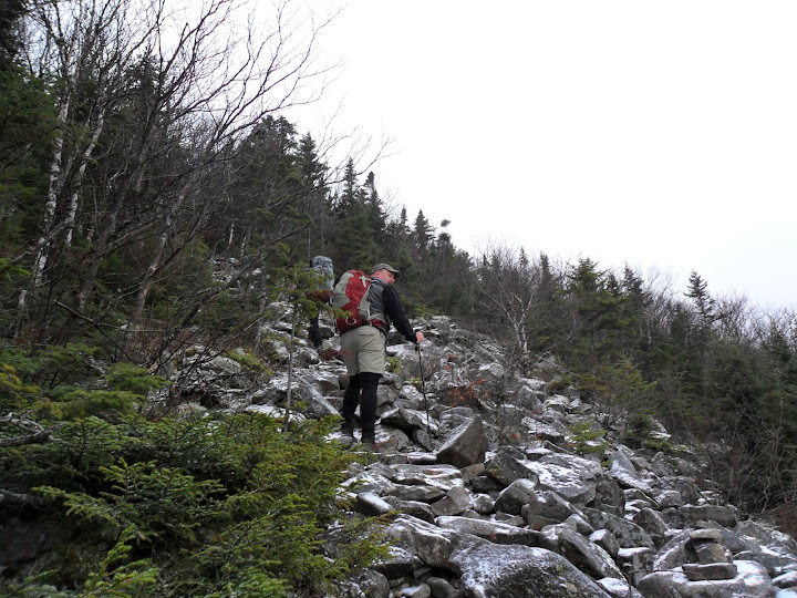
- The AT up and over the Crockers in good shape and easy to follow. You cross a rock slide going up to South Crocker.
- The herd path off of South Crocker to Redington can be confusing. There is a trail that has been cut with Yellow blazing that directionally leads towards the North. I guess this is the West side AT corridor boundary line for the trail going to North Crocker. I've never seen one of these. We started following it and realized it wasn't the herd path. We back tracked and found the original herd path and made it over to Redington. I had downloaded some GPS tracks (thx Paradox) that kept us on track- so to speak.
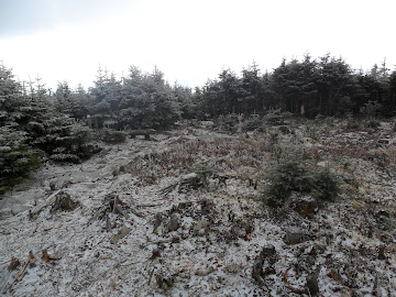
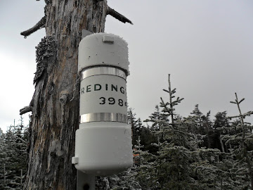
- The top of Redington is clear cut opening, and has some views looking back to the Crockers. We did find the Canister attached to a tree.
- The hike down was smooth to start, then we bushwacked through some thick stuff to get down to Caribou Valley Road.
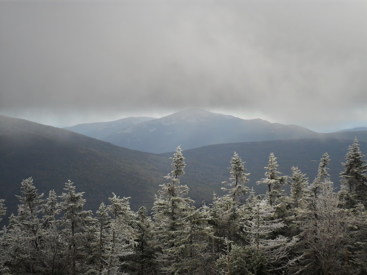
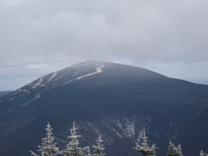
- As the clouds cleared some, we had some decent views over to Abraham, Spaulding, and Sugarloaf.
- Snow flurries the entire hike, but little accumulation
- Saw a couple piles of Bear scat, and plenty of Moose scat and tracks.
- A brief stop at the Granary in Farmington for an adult beverage and some chili. I just love chili after a hike.
Some pics:
Rock slide going up South Crocker
Abraham through the clouds
Sugarloaf
On the way to Redington
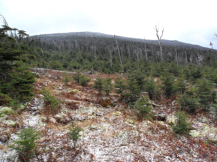
Redington Summit
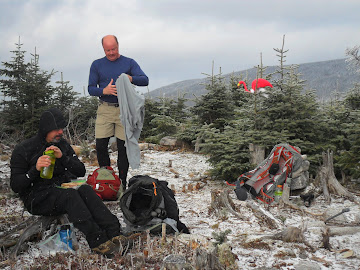
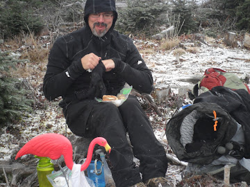
Lunchtime on Redington
Slideshow ^
hugs, kisses
Petch
Hiking Pictures:http://picasaweb.google.com/mpetcher
Ascent List:http://peakbagger.com/climber/climblistc.aspx?cid=1767
GPS Tracks/Map:http://www.wikiloc.com/wikiloc/view.do?id=1275245
Date of Hike: 10/30/10
Peaks/Trails: North Crocker, South Crocker, and Redington via AT, herdpath and bushwack
Cast of Characters: CrazyBob, Jim, Petch, and Henrietta
Trail Conditions: Fairly dry with a dusting of snow at elevation
Trip data: about 9.5 miles, 3450ft ele gain, 6 hrs hiking, about 6 hrs driving
Just a few comments:
- Yeah, I know: weak title. I've had a bit of writer's block lately.
- 12 ME 4k's down, 2 to go- they're up in Baxter. What, a hike in Baxter without black flies? nonsense. So probably next spring.
- Caribou Valley Road about the same as last week- but with Bob driving this week in the F150, it took only 10 minutes to travel the 4 miles. It was kinda like a Dukes of Hazard episode, without the rebel flag and Daisy Duke
- The dangest thing (notice the use of "dang" again), 10 yards into the hike I found a pair of white Victoria's Secret female undies smack dab in the middle of the trail? They must have fallen out of someones pack. Happens to me all the time. Just last month I lost a pair while going up Saddleback. Anyway, if they're yours, send me a PM.
- The AT up and over the Crockers in good shape and easy to follow. You cross a rock slide going up to South Crocker.
- The herd path off of South Crocker to Redington can be confusing. There is a trail that has been cut with Yellow blazing that directionally leads towards the North. I guess this is the West side AT corridor boundary line for the trail going to North Crocker. I've never seen one of these. We started following it and realized it wasn't the herd path. We back tracked and found the original herd path and made it over to Redington. I had downloaded some GPS tracks (thx Paradox) that kept us on track- so to speak.
- The top of Redington is clear cut opening, and has some views looking back to the Crockers. We did find the Canister attached to a tree.
- The hike down was smooth to start, then we bushwacked through some thick stuff to get down to Caribou Valley Road.
- As the clouds cleared some, we had some decent views over to Abraham, Spaulding, and Sugarloaf.
- Snow flurries the entire hike, but little accumulation
- Saw a couple piles of Bear scat, and plenty of Moose scat and tracks.
- A brief stop at the Granary in Farmington for an adult beverage and some chili. I just love chili after a hike.
Some pics:
Rock slide going up South Crocker

Abraham through the clouds

Sugarloaf

On the way to Redington

Redington Summit


Lunchtime on Redington


Slideshow ^
hugs, kisses
Petch
Hiking Pictures:http://picasaweb.google.com/mpetcher
Ascent List:http://peakbagger.com/climber/climblistc.aspx?cid=1767
GPS Tracks/Map:http://www.wikiloc.com/wikiloc/view.do?id=1275245
