1HappyHiker
Well-known member
A relatively short hike (perhaps a little over 4 miles round trip) will bring you to an area where there are remnants of an abandoned village that was called Whitcherville. This hike is briefly described in the WMG. The route involves hiking the Cobble Hill Trail for a short distance and then hanging a left onto the abandoned South Landaff Rd (a snowmobile trail in winter).
This particular hike was tailor-made for my circumstances today. I only had a short amount of time for hiking, plus there was a forecast for rain later in the day.
Although the hike begins on the north side of Route 112, after parking my car at the trailhead, I crossed over to the south side of the road to snap a photo of the Wild Ammonoosuc River.
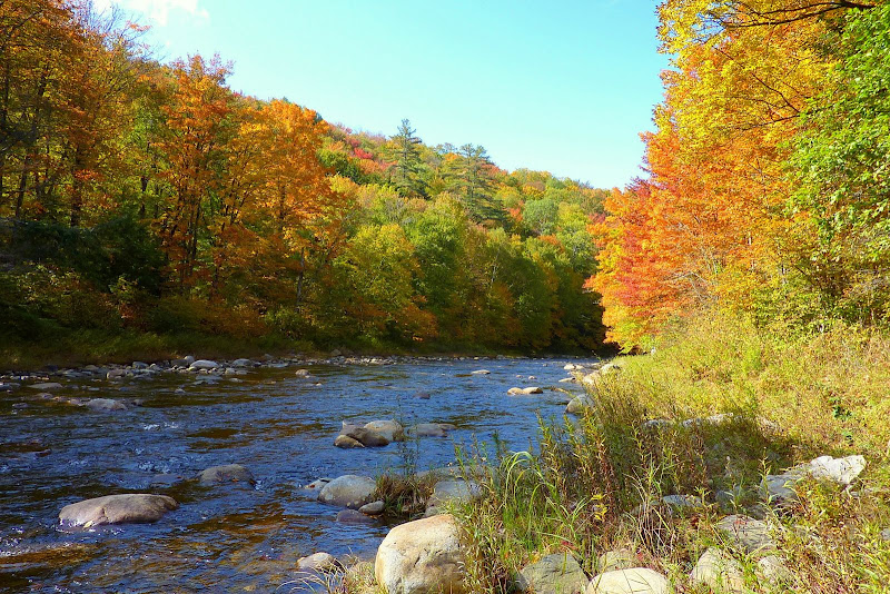
After snapping the photo, I re-crossed the road and headed up the Cobble Hill Trail. Within 10 minutes I was making my left turn to head west along the old South Landaff Road. This old road takes you through a beautiful forest. And, at numerous points along the way, there are stone walls lining the road.
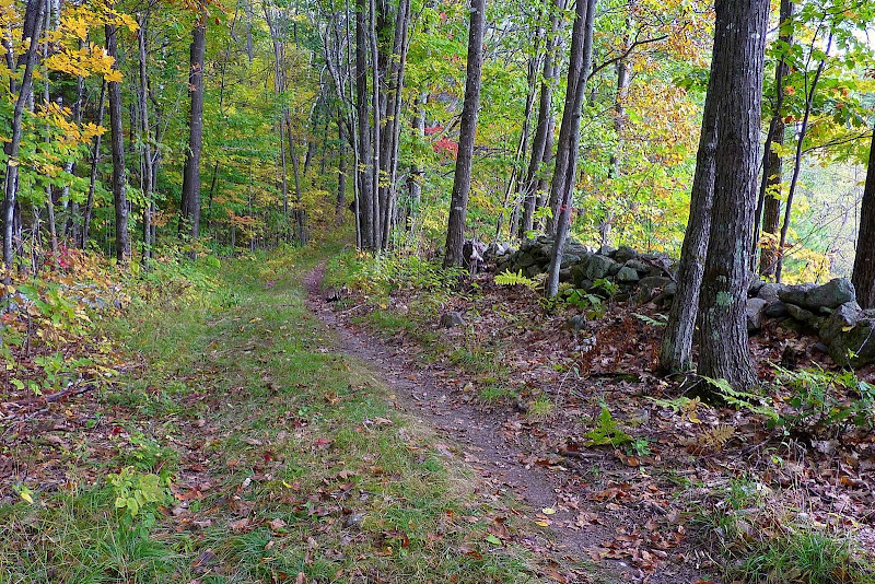
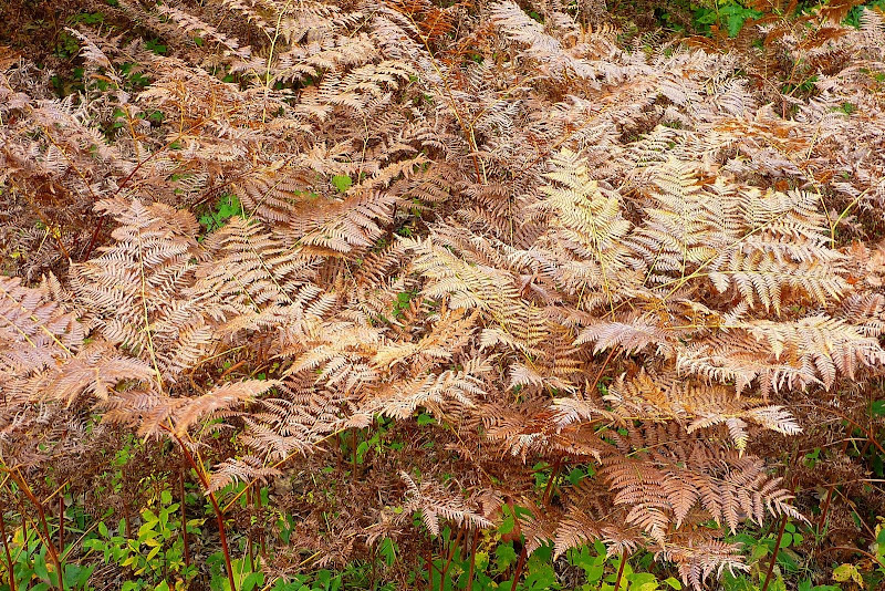
And at this time of year, not only is there colorful tree foliage to please the eye, but there are other colorful delights as well, such as ferns that have been “bronzed” from frost bite.
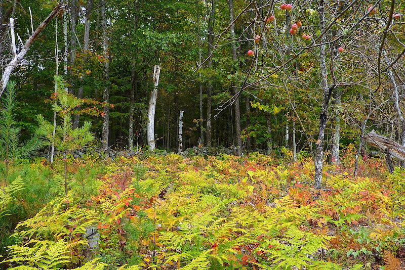
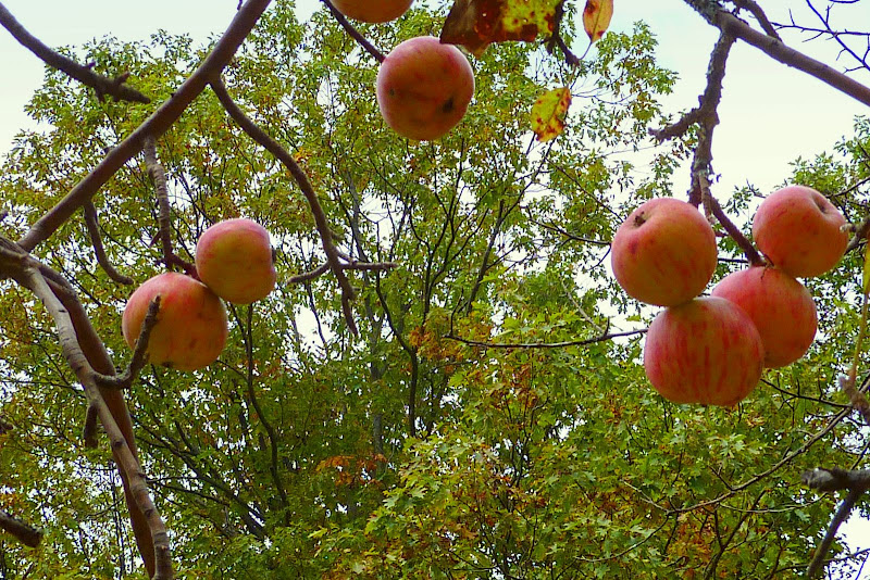
And it’s stunning to see that many of the old apple orchards in Whicherville are still there to this day! They now co-exist with ferns and the surrounding forest which makes for a unique and colorful display. (I seem to recall being told that the orchards receive some maintenance from the National Forest Service to preserve them as a deer browse yards.)
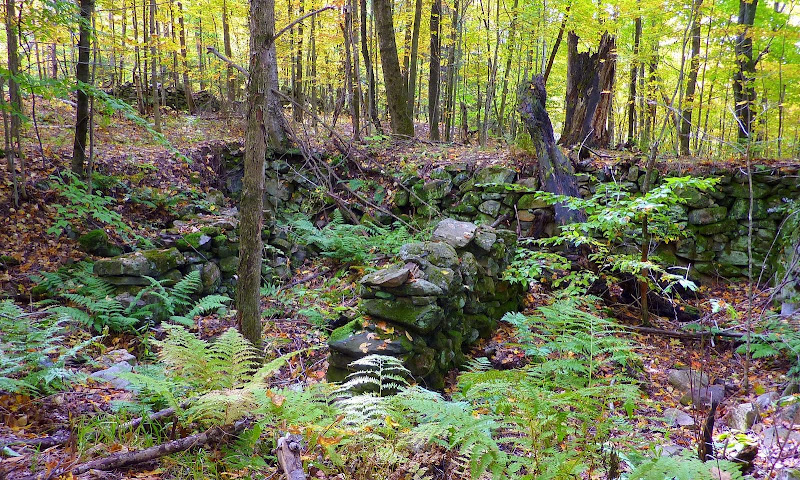
If you poke around off to the sides of the old road, you will find old cellar holes here and there.
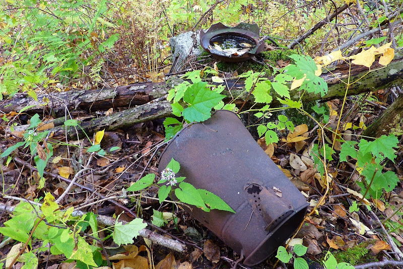
And you might run across some artifacts as well (and it is illegal to remove artifacts from a site such as this!)
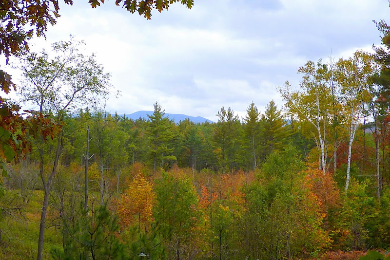
In addition to the other eye-catching views on this hike, there is also an area where you can get a small view of some mountains.
In the photo below, I think it might be Howe Hill and Black Mountain (Benton) that are peeking through the trees.
Perhaps others on this Forum can add some historical facts about Whicherville. All I know for certain is that the current day town of Landaff was originally named Whicherville back in 1764. And although I’m not completely certain, I think that the southern part of Landaff township retained the name of Whitcherville up to the time that the village was abandoned. But, I don’t know any other facts that would be interesting to learn, such as when it was abandoned, etc.
1HappyHiker
This particular hike was tailor-made for my circumstances today. I only had a short amount of time for hiking, plus there was a forecast for rain later in the day.
Although the hike begins on the north side of Route 112, after parking my car at the trailhead, I crossed over to the south side of the road to snap a photo of the Wild Ammonoosuc River.

After snapping the photo, I re-crossed the road and headed up the Cobble Hill Trail. Within 10 minutes I was making my left turn to head west along the old South Landaff Road. This old road takes you through a beautiful forest. And, at numerous points along the way, there are stone walls lining the road.

And at this time of year, not only is there colorful tree foliage to please the eye, but there are other colorful delights as well, such as ferns that have been “bronzed” from frost bite.

And it’s stunning to see that many of the old apple orchards in Whicherville are still there to this day! They now co-exist with ferns and the surrounding forest which makes for a unique and colorful display. (I seem to recall being told that the orchards receive some maintenance from the National Forest Service to preserve them as a deer browse yards.)


If you poke around off to the sides of the old road, you will find old cellar holes here and there.

And you might run across some artifacts as well (and it is illegal to remove artifacts from a site such as this!)

In addition to the other eye-catching views on this hike, there is also an area where you can get a small view of some mountains.
In the photo below, I think it might be Howe Hill and Black Mountain (Benton) that are peeking through the trees.

Perhaps others on this Forum can add some historical facts about Whicherville. All I know for certain is that the current day town of Landaff was originally named Whicherville back in 1764. And although I’m not completely certain, I think that the southern part of Landaff township retained the name of Whitcherville up to the time that the village was abandoned. But, I don’t know any other facts that would be interesting to learn, such as when it was abandoned, etc.
1HappyHiker
