Adirondack Hundred Highest

vftt.org

Help Support vftt.org:

This site may earn a commission from merchant affiliate links, including eBay, Amazon, and others.
It would be fun to make a cannister out of (conforming) birchbark and label it Mount Everest (using bio-degradable vegetable based ink) and put it up (using willow roots from dead and down willows) on Brown Pond Peak.

- Jack A. Lope

Actually, back a few years ago, when I was climbing a few of these (and posting reports and talking about it a lot with a few others online), we actually found a few "birch bark" notes on the summit's left by people who knew we were hiking a given peak on a given day, and they left em for us. :D

Actually Avalanche was one of them to. :D

Of course, we met the "note leaver" on the way down randomly in the woods and it was a fellow VFTTer I might add (you know who you are). ;)

Reason #812 why I NEVER post anymore my intentions of where I'm hiking nor where I've been :D

Yeah, for Avalanche there was a definite patted down summit area. I actually enjoyed the few canisters I've found, especially when you look at the names in there and you know almost every single person that has ever signed in. And for the wondering about a canister from a different mountain being on a specific other mountain, I don't think that's funny. I think it is freakin' hilarious...What kind of jackalope would ever do such a thing?

I remember hiking ST4 and finding the canister. Reading the last few names spanning back 18 months or so and seeing the names in this order. Spence & Brian, Neil and Doug, Haskins, and then Neil (again). Brian and I (along with Nick and Alan) signed in. We all got a chuckle out of it.

It the same for others I've seen. As for the Jack-a-lope stuff. Too funny, what kind of moron would put...... say... an old 46er canister on a remote peak in the Sawtooths :eek:
 
Last edited:
I remember hiking ST4 and finding the canister. Reading the last few names spanning back 18 months or so and seeing the names in this order. Spence & Brian, Neil and Doug, Haskins, and then Neil (again). Brian and I (along with Nick and Alan) signed in. We all got a chuckle out of it.
I too, and in spite of my relative Dack infancy, noticed that I knew all of the previous canister notebook entrants. That is, if I really know myself at all, for indeed, given my proclivity to revisit obsessionally those HH peaks with canisters would set me up for such an experience of gazing into my own recent whacking past.

My observation is that when I (finally) came on the scene someone had removed most of the previously existing canisters and the written records they contained, in favor of the more modern entities which of course are all gone now anyway.

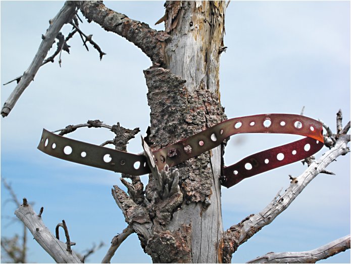
What would an archeologist from outer space make of this?
Sawtooth%205%20in%201_0148.jpg
 
SkyClimber, do you know anything more about this "Klein's Peak" that you saw the sign for near Street?

To be honest, it was SO MANY years ago. I was a follower, so didn't pay much attention. I just remember getting to Indian Pass Brook and instead of taking the "right" fork to head up to Lost Pond Peak, we took the "wrong" fork. I do believe we went up on the same compass bearings we would had used if we were going up to Lost Pond Peak. I do not know how to post pictures on these forums and would have to dig out the photo we took from the summit of Klein's Peak. It was an experience. We did go back a second time and took the "right" fork this time and ended up on the summit of Lost Pond Peak.
 
SkyClimber, do you know anything more about this "Klein's Peak" that you saw the sign for near Street?

A little more information here:

The Mystery of Klein's Peak

I ascended from the height of land SE of Scott Pond. Along the summit ridge I found a sign, in relatively good shape and fairly well made, that said "Klein's Peak - Elevation 3910 Feet".

Judging from the description, I'd guess that it's the peak due north of Lost Pond. (See the USGS map attached)

View attachment 2772


Steve
 
Top