An Adventure Thru Livermore Pass

vftt.org

Help Support vftt.org:

This site may earn a commission from merchant affiliate links, including eBay, Amazon, and others.

grouseking

Well-known member
Joined
Feb 20, 2005
Messages
2,023
Reaction score
272
Location
Lebanon, NH Avatar: Philosopher?
1151357908_TEg8S-L.jpg


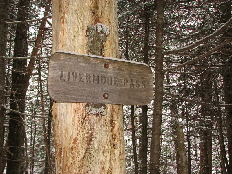
Finally! After several years of waiting, canceled plans etc, I made it to Livermore Pass, off the Kancamangus Highway. I went with Mattl and my sister on 1/8/11, on a mainly cloudy, cold, but calm day. Every once in awhile snow flurries would be in the air, and then a few min later, skies would partially clear and the sun would shine. It was a great day for a hike, indeed.

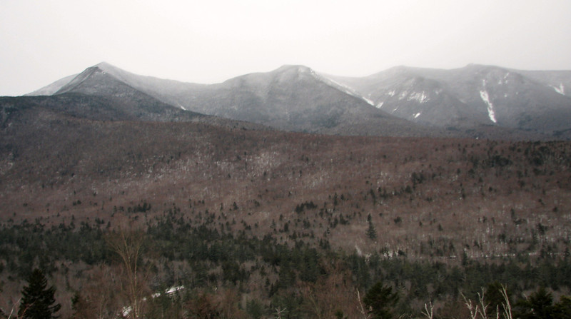
For all you view hounds, I'll post this shot from the Kanc, so you can have your medicine!
1151352876_LanWy-L.jpg


I had a somewhat dangerous thing happen to me just as we were heading back, and I think I will Quinton Tarantino it, and tell you what happened beforehand. haha Just after I ate lunch, I was standing still about ready to leave, hiking poles in my hand, and then BAM! I fell thru what happened to be a bog, all the way up to my knees! It is one thing to fall in a bog in the summer...its kind of funny. But in winter its a completely different animal. Ice cold water and mud flooded into my boot, and I immediately got cold. Normally I can somewhat shimmy my way out of mudbowls like this, but I wasn't budging. What on Earth was I to do!?!? More on that later....

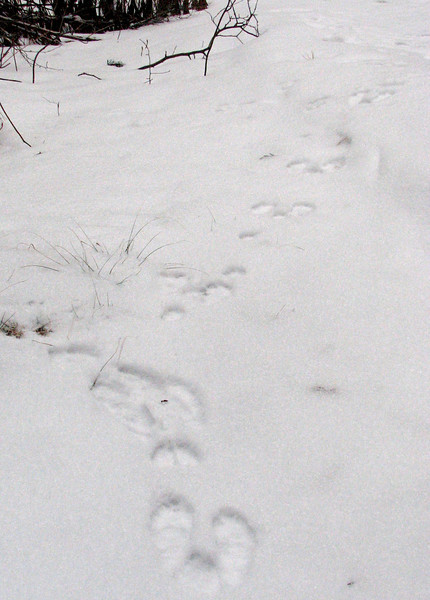
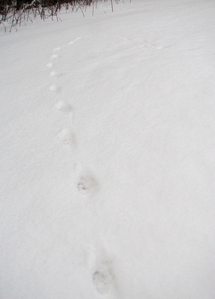
We started out around 9:15am, seeing some peculiar tracks along the road, which eventually went onto the trail. These appear to be coyote tracks.
1151353165_Gp9Kk-L.jpg


Ooh, and snowshoe hares too
1151353263_A74uk-L.jpg


There were fox tracks, going after the hares, but for some reason I forgot to get a picture of them....

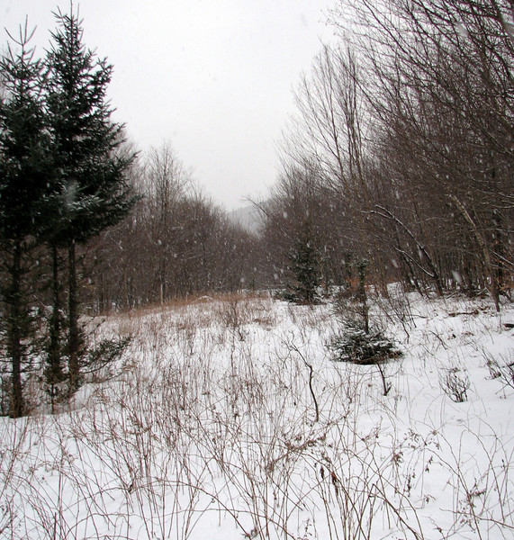
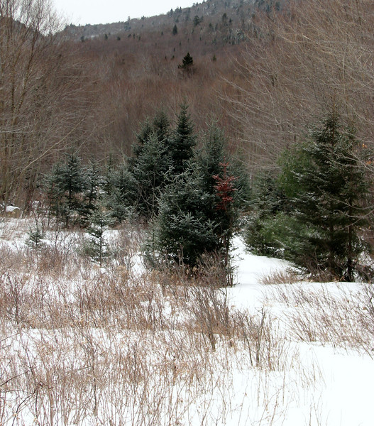
The beginning was a fairly open trail with hardwoods and young conifers. In the following pic, you can see the pass in the distance, upper left.
1151353731_twNxz-L.jpg


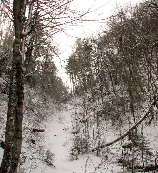
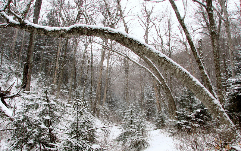
Trail conditions were pretty darn good, except when we made it to the "gorge" area heading up into the pass. Here there was a sudden steep spot, with slanting snow and ice. I didn't get a very good shot of that, because I was too busy concentrating.

Really cool slanting trees just before the steep spots
1151355581_3ey2b-L.jpg


Just about there!!
1151356382_sw6zW-L.jpg


A very small, but photogenic pond near the height of land. There was lots of shallow ice around the pond (darn 280 lbs!) and that will come into play later.
1151357534_4uPGy-L.jpg


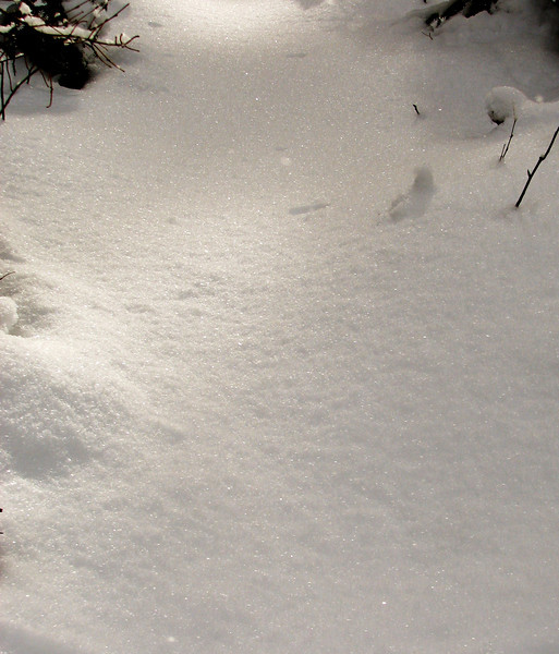
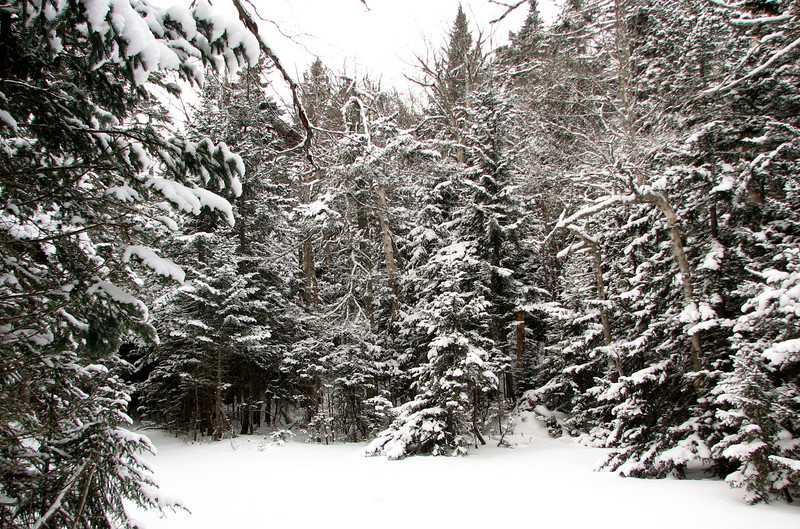
The sun came out, and it made for that sparkly snow. Its very difficult to capture in photo, but I did my best
1151359336_F3k3a-L.jpg


You can kinda see it here
1151359319_38YdA-L.jpg


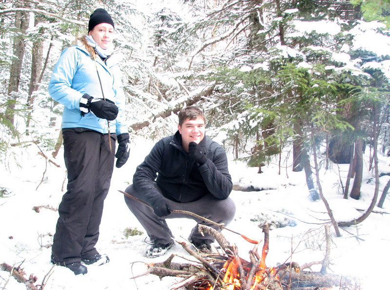
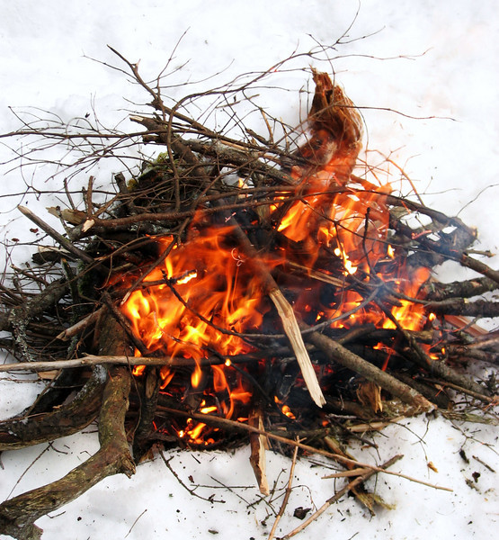
Wandering around, well off trail, it was time for a camp fire, and some HOT DOGS!
1151359702_t8Ywv-L.jpg


Brothers and sisters
1151359803_uT57R-L.jpg


cont in a min
 
Last edited:
part two...answering what happened to my bog experience

Ok, you prob already know that I ended up fine after falling into that darn bog, but I might as well explain what happened.

I told Mattl to come over and start digging me out, (actually I prob yelled at him and swore him to get the bleepity bleep over to me) cause that is all I could think to do. My feet were not budging, and I knew that wasn't right. For all I knew I'd be stuck there forever. It is amazing what goes thru your mind when you're helpless. Anyways he got the mud out to the point where I could move my leg a little, and I was able to shimmy a little bit, but my feet were still not moving. A little more digging revealed that BOTH of my feet somehow got stuck under two different logs. Talk about S$%T luck. I'm not entirely sure how I got out from there. I think Matt helped me unlodge one of my feet, and I got it out, and then I had more wiggle room, and was able to get myself free.

Well, that sucked. I was concerned about my feet going numb, with all that ice water down my boot. But I was also concerned about taking the boots and socks off to wring out my socks. I decided to keep them on for a little bit, till I got down to the bottom of the steep spots, so I could just get the heck out of the pass and feel safer. I figured that if I kept my toes moving and the blood flowing, I'd be ok. I was wearing wool socks, (always do) so that helped immensely.

So down the hill I went, concentrating so I wouldnt slide down the steep slope. I kept my toes moving for awhile...they were very cold but still movable, so I figured I was ok. Then, I must have forgotten to move the toes for awhile, cause when I made it to the bottom of the steep section, I went to move my toes again, and they were stiff. Well, that was something I hadn't experienced yet. I sat down on a rock, took my boots and socks off, and warmed up my feet with my hands, one at a time. Boy that helped!! I realized I had worn two different pair of socks...which is something I almost never do, except I felt it would keep my feet warmer. But it was one heck of a hindrance, because I couldn't move my toes because the socks had my feet in there good and tight. Who woulda thunk!?

So you live and you learn, right? I'm not advocating any way of hiking for anyone else on this site, because I hate it when someone tells me how to hike. Those people reek or arrogance. But personally, this is why I almost always hike with a partner in the mtns during winter, cause I never know what's going to happen. It's a funny thing really, because I am very comfortable with hiking around solo, but if I had fallen into that bog alone, who the heck knows how I would have handled it. I prob would have escaped eventually, but I'd rather not have to ever get into that predicament. I probably would not have wandered off the trail if I was hiking solo, but that's another debate.


So...after all that, it was a nice and mellow hike out, as sunset approached. When we got back to the open areas, a light snow had commenced, greeting us on our way out.

1151359878_6RBeM-L.jpg


This was def one of the more interesting hikes I have been on, with all that happened to me, not to mention us exploring a simply beautiful part of the whites mtns that is seldom visited. Perhaps me falling into the bog was the region's way of telling me to go away. :) No matter what, I had a great time overall, and recommend this trip to anyone. Hopefully someday, I'll thru hike this trail and end up in Waterville Valley.

15384300_H6cq7


Thanks for reading!
 
Nice little bit of redlining, GK! :)

Maybe a thread drift, but have you gotten to Lost Pass yet? That's high on my list this winter.

I'm all about the non mountain trails Sabrina. :) I get so tired doing the steep mountain stuff, so its nice to do something else and experience the beauty.

I haven't hiked into Lost Pass yet. Hopefully someday. Not sure if I will do it in winter though, cause of my experience yesterday with falling into a bog. I'd rather it be mild.
 
My understanding is that winter is the only time to visit Lost Pass because, well, it's a bog. :)

Heck of a story, I'm glad it all worked out in the end! These are all places I'd like to explore, too. Very cool to have been there.
 
My understanding is that winter is the only time to visit Lost Pass because, well, it's a bog. :)

Heck of a story, I'm glad it all worked out in the end! These are all places I'd like to explore, too. Very cool to have been there.

Hmm, well typical! :)

It is really a nice place. If you are a cross country skier, I think it might be a great place to visit, if you stay on the trail. The one place that might be too steep for skiing is going up the side of the gorge to the pass, but since I'm not a cross country guy, I guess I can't comment on it.

And I'm glad it worked out in the end as well. Its amazing how little things like that end up being 50 times worse in the winter.
 
I'm all about the non mountain trails Sabrina. :) I get so tired doing the steep mountain stuff, so its nice to do something else and experience the beauty.
Regarding the quote above . . . I certainly agree that it's soooo very nice to interject some variety into one's hikes. There are nice peeks from peaks, but non-peaks provide unique peeks!:rolleyes::)

Hmmm! But Phil, I'm not so sure that falling into a bog is one of the better ways to interject variety into a hike!:eek::D

Thanks for an entertaining and unique TR!
 
Everybody seems to be talking about Livermore Pass like it's the back side of nowhere, but both times I've been there it's been the more common use of a pass - a route to somewhere

Once to Flume Peak from the Kanc

Once to Scaur Peak from the Kanc
 
Regarding the quote above . . . I certainly agree that it's soooo very nice to interject some variety into one's hikes. There are nice peeks from peaks, but non-peaks provide unique peeks!:rolleyes::)

Hmmm! But Phil, I'm not so sure that falling into a bog is one of the better ways to interject variety into a hike!:eek::D

Thanks for an entertaining and unique TR!

Yeah, I hope to never fall into a bog again! Kinda freaked me out a bit......

Everybody seems to be talking about Livermore Pass like it's the back side of nowhere, but both times I've been there it's been the more common use of a pass - a route to somewhere

Once to Flume Peak from the Kanc

Once to Scaur Peak from the Kanc

The area felt like it is in the middle of nowhere to me. We were the only people out that day, on a weekend. If you compare it to a 4000 footer, it was completely dead quiet. I realize its only a few miles from Waterville Valley, but it still felt like the middle of nowhere to me. Plus, the trail had a strangely different quality to it, there was just something about it, that made it feel more remote, to me. In the eye of the beholder I suppose... :)

glad you made it out with the help of a freind, and had a great hike

Thanks very much Patrick! It was a bit unnerving at first, but after the shock wore off, I was much better, and glad I experienced it, because I know how I'd react in a somewhat tough situation.
 
Everybody seems to be talking about Livermore Pass like it's the back side of nowhere, but both times I've been there it's been the more common use of a pass - a route to somewhere

Once to Flume Peak from the Kanc

Once to Scaur Peak from the Kanc
The Waterville side is also a good approach route.

Yeah, I hope to never fall into a bog again! Kinda freaked me out a bit......


The area felt like it is in the middle of nowhere to me. We were the only people out that day, on a weekend. If you compare it to a 4000 footer, it was completely dead quiet. I realize its only a few miles from Waterville Valley, but it still felt like the middle of nowhere to me. Plus, the trail had a strangely different quality to it, there was just something about it, that made it feel more remote, to me. In the eye of the beholder I suppose... :)
Quite a bit of bog in the region...

The upper part of Kancamagus Brook (ski) Trail goes through a large marsh just before it connects to Livermore Tr. I've dipped my ski tails in the water more than once... I don't know how wet the actual trail junction is--it has always been snow covered when I was there. (The junction is in a clearing--I think it used to be a logging camp)

I have ventured a short distance from the junction toward Kanc pass and the Kanc on skis, but it was a narrow semi-open brook and I turned back. The section of trail between the junction and the pass is marked as a ski trail on one of my old maps ("Ski Touring Guide to New England", Medora Bass, EMS, 1973) and I have met skiers who had skied up from the Kanc highway (using skins).

I haven't seen many people in the area and have broken the trail a number of times.

Did you venture S of the pass at all?

Doug
 
The section of trail between the junction and the pass is marked as a ski trail on one of my old maps

I haven't seen many people in the area and have broken the trail a number of times.

Did you venture S of the pass at all?
I have been S of the pass in fall, it may be marked as a ski trail as it's better when frozen :) and of course it's an old road

When I broke up from the Kanc on snowshoes, there were no tracks from the other direction
 
A very entertaining report! That certainly looks like a nice area to visit in the winter.... minus swimming in the bog, of course! :D
 
I have been S of the pass in fall, it may be marked as a ski trail as it's better when frozen :) and of course it's an old road
Actually, I was wondering if grouseking had gone S of the pass--you clearly had to have done so to climb Flume and Scaur Peaks.

Livermore Rd (old name*) goes as far as the junction with Kanc Brk Tr and continues as Livermore Tr to the Kanc. AFAIK the entire way is a hiking trail (and is shown as such on the AMC map).

Kanc Brk Tr is the ski trail. (It makes a nice loop with Livermore Rd.) It is shown on the 24K USGS topo and Waterville XC map, but not on the AMC hiking map. It goes from Greely Pond Tr (just N of where it crosses it crosses Flume Brook to Livermore Tr (road to us oldtimers... :) ) just S of Livermore Pass. The last half-mile crosses a bog (the headwaters of Flume Brook). Last time I was there, there was a sign for KBT at the junction with Livermore Tr.

* Someone had the bright idea of renaming the upper portion of the Road (above the commercial XC ski area) as Trail. The treadway is still a road no matter what they call it.

Doug
 
Last edited:
Actually, I was wondering if grouseking had gone S of the pass--you clearly had to have done so to climb Flume and Scaur Peaks.

Doug

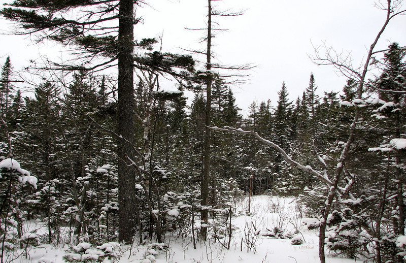
I ventured a little south of the pass. We hiked a little south of the sign, till we decided to find a place to eat lunch, off the trail...which happened to be on that bog....somewhat covered. We were prob a good 5-10 min hike south. I decided to push on for a few extra minutes, because I wanted to see if I could find the ski trail. After a few extra min, I didn't come to any trail junction, and I didn't want to hike much further away from my group, so I turned around. There was a larger bog right thru the trees that I spotted.

1151359459_YBCHJ-L.jpg


Long story short, I hiked a total of about 10-15 min south of the pass, couldn't find the Kanc Brook ski trail, so I decided to head back before I got too far ahead. :)
 
Long story short, I hiked a total of about 10-15 min south of the pass, couldn't find the Kanc Brook ski trail, so I decided to head back before I got too far ahead. :)
OK. Thanks.

I found a pic of the sign as of Feb 11, 2007--the last pic before I broke my leg a short distance down Livermore Rd...
kanc-brk-tr-1329.jpg

and a 100% cropping of the signs:
kanc-brk-sign_1329.jpg


The sign would be at the beginning of a 30+ft wide x much longer opening. It would be on your right and perhaps behind you as you head south. (I recalled a much older sign--I guess it had been replaced. Maybe I got distracted a few minutes later... :) )

Doug
 
Wow, I might have just all out missed those signs...somehow. Only 2.7 miles to the highway...I feel like I hiked longer than that. But perhaps not.

Thats right, you broke your leg up there! It looks like both of us have had interesting experiences up on the pass, except yours was waaaay worse. :)
 
Wow, I might have just all out missed those signs...somehow. Only 2.7 miles to the highway...I feel like I hiked longer than that. But perhaps not.
My guess is that you didn't go far enough.

You would have come to the clearing if you had gone far enough. IIRC, it would have been impossible to miss. (Of course, you might have had to know the junction was at the beginning of the opening. But the signs should have been obvious on the way back.) Livermore trail continues as an obvious roadbed.

Thats right, you broke your leg up there! It looks like both of us have had interesting experiences up on the pass, except yours was waaaay worse. :)
I did mine ~midway between the junction with the Flume Slider trail and the turn into the big switchback.

Mine might have been more dramatic, but both events had the potential for the same outcome...

Doug
 
Last edited:
Bogs!

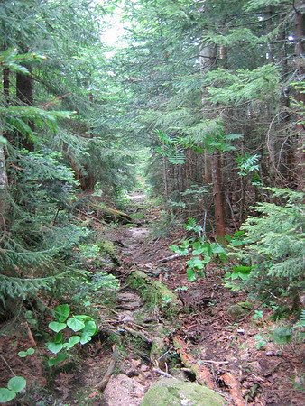
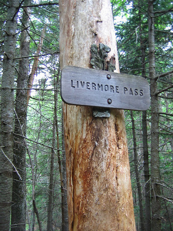
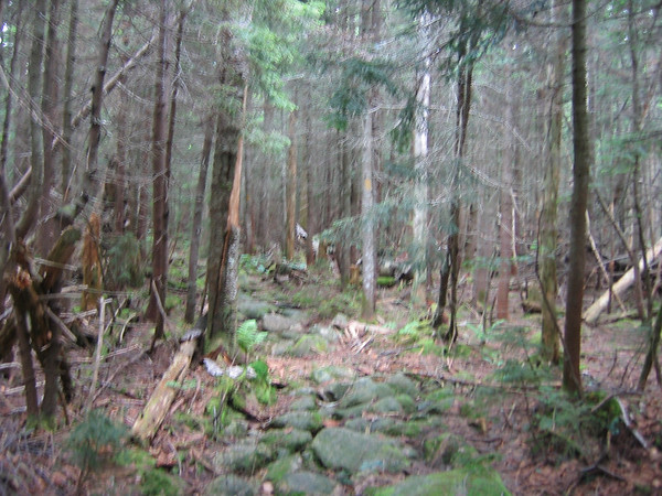
I visited this area back in July 08. I came to the sign for Livermore Pass like you did after hiking along a trail that looked like this.

1154292419_DWWKY-M.jpg


Then the sign

1154290565_Y7QXP-M.jpg


Then a stretch of trail with spruce canopy overhead.

1154290746_vuhxh-M.jpg


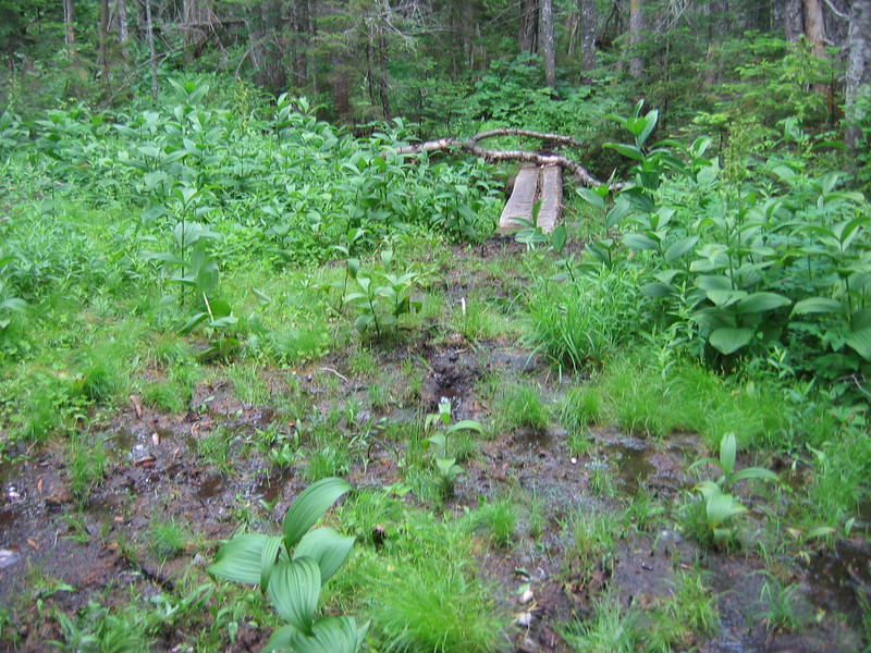
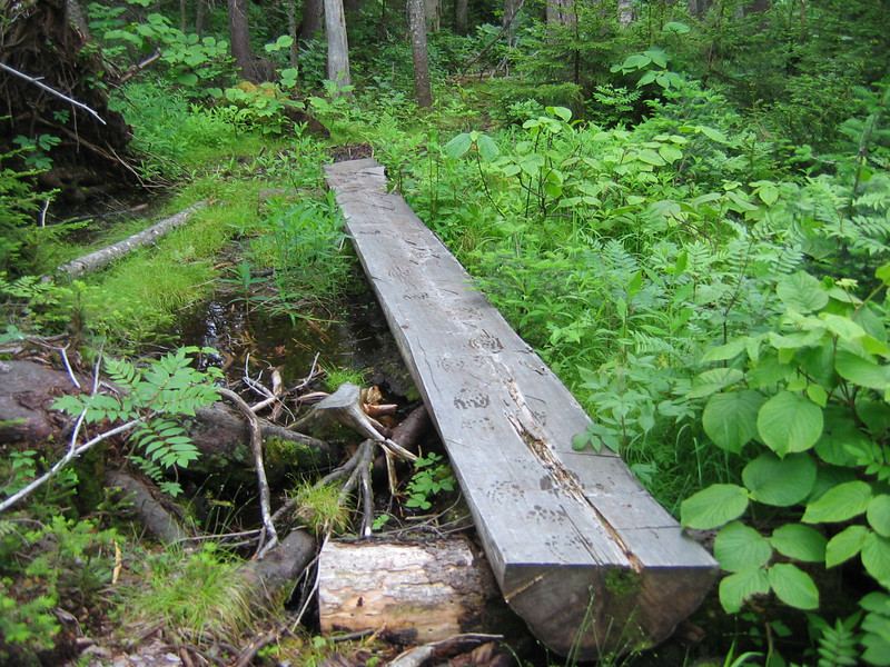
Then a boggy area with bog bridges. These bogs looked deeper than the average bog. I feel sorry for you if you got stuck in this. the area could have used some more bridges. You had to step carefully to avoid getting stuck.

1154289821_YAxXg-L.jpg


And this

1154290100_KJy2B-L.jpg


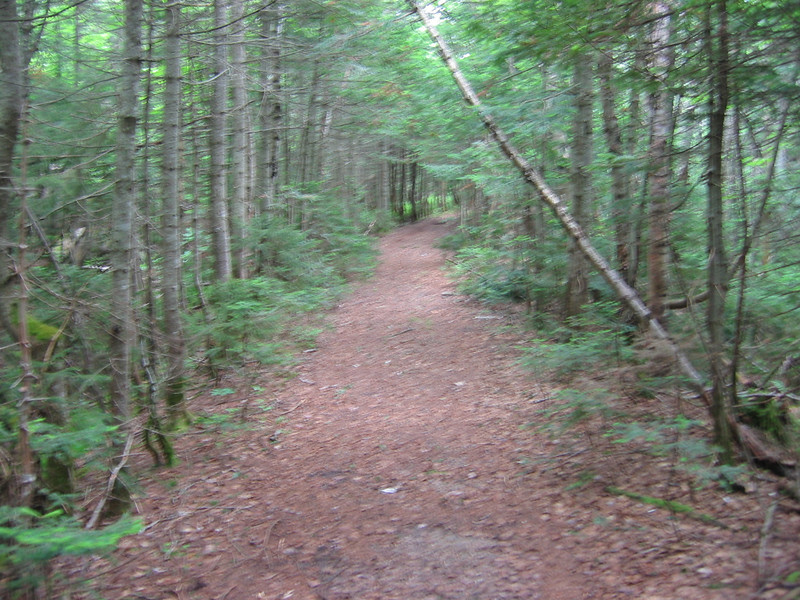
Short time after that I came to the sign that Doug has pictured. Not long after that you come to trail that looks like a superhighway after all the rocks and bogs. Check this out:

1154308232_uvCQ3-L.jpg


Thanks for sharing your experience in area I like a lot. :D
 
Short time after that I came to the sign that Doug has pictured. Not long after that you come to trail that looks like a superhighway after all the rocks and bogs. Check this out:

1154308232_uvCQ3-L.jpg
So that is what was under my skis. Except I remember the trees as being much lower... :)

Thanks for sharing your experience in area I like a lot. :D
Likewise. I have enjoyed skiing through this area a number of times. (Never been there on foot.) Hopefully I will get back soon (snow conditions and the leg permitting).

Doug
 
Top