Becca M
Active member
April 7, 2012: The Ice Gulch. Looped counter-clockwise up Ice Gulch Path, the falls loop, and Cook’s Path.
Basically, I wouldn’t recommend this loop in April. Especially in this low-snow year, I was amazed how much snow there was there, just below 2000’. Semi-solid snow filled in the big gaps on top of deep holes. Not a good place to be. Doesn’t look that bad in the pictures, but, after a while in the middle of the gulch, it just wasn’t fun. I wasn’t sure if going back would be safer or maybe I was closer to the top/north end of the gulch.
I hope you enjoy the pictures – they make it look so pretty. It was pretty… for a short while….
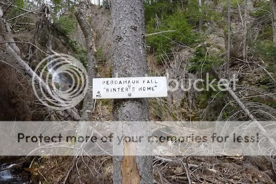
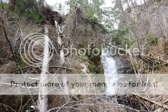
The loop followed these falls – I wonder why that sign says, “Winter’s Home” – maybe because the snow never melts? “Always winter, never Christmas?”
Looks like maybe remnants of Hurricane Irene damage in the falls area?
One of the first gaps – kind of pretty!
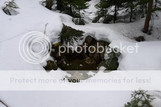
Looking into the Ice Gulch:
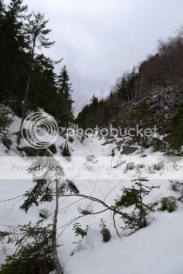
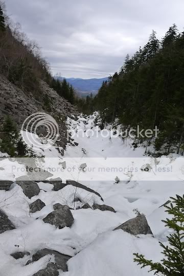
Looking backwards (south):
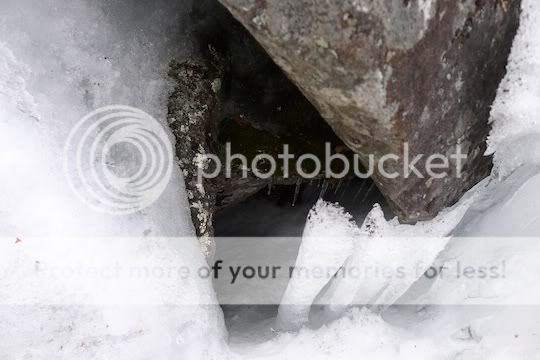
One of the countless big gaping holes – many were deeper than I am tall!!!
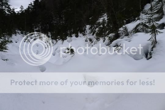
A better look at the snow depth – it isn’t solid, by the way!!! You can barely make out my footprints to the left. I tested EVERY step!!!
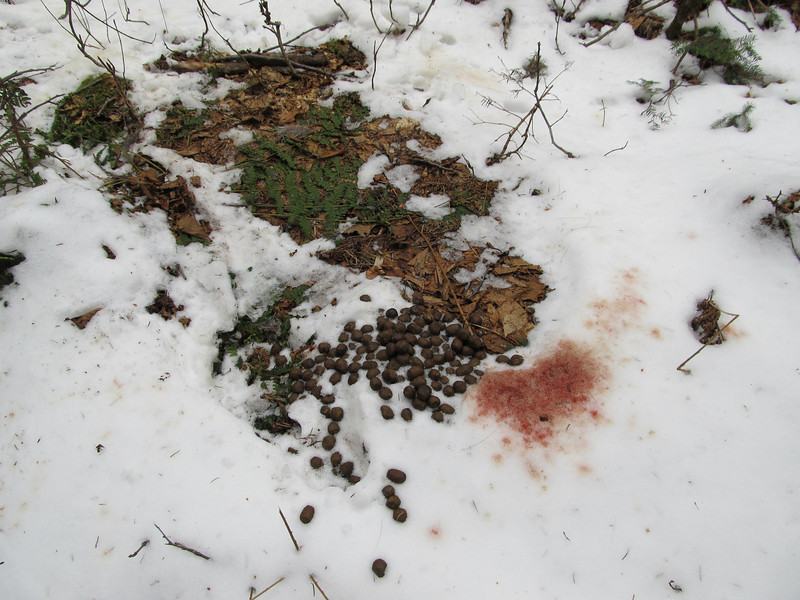
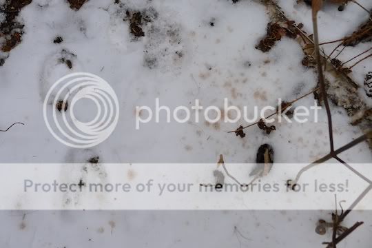
Yeah! I’m done with Ice Gulch. The animals obviously avoided the gulch (no footprints in it) but above was a regular wildlife superhighway. Lots of footprints. Why is there such a large spray of blood near these moose tracks? It’s not from postholing since the footprints were so shallow. Any ideas?
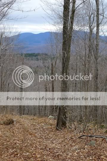
One last look at the views from Cook’s Path on the way out – looking out one of the MANY logging roads in the area.
WHEW – I’m outta there!!!
Basically, I wouldn’t recommend this loop in April. Especially in this low-snow year, I was amazed how much snow there was there, just below 2000’. Semi-solid snow filled in the big gaps on top of deep holes. Not a good place to be. Doesn’t look that bad in the pictures, but, after a while in the middle of the gulch, it just wasn’t fun. I wasn’t sure if going back would be safer or maybe I was closer to the top/north end of the gulch.
I hope you enjoy the pictures – they make it look so pretty. It was pretty… for a short while….
The loop followed these falls – I wonder why that sign says, “Winter’s Home” – maybe because the snow never melts? “Always winter, never Christmas?”

Looks like maybe remnants of Hurricane Irene damage in the falls area?

One of the first gaps – kind of pretty!

Looking into the Ice Gulch:

Looking backwards (south):

One of the countless big gaping holes – many were deeper than I am tall!!!

A better look at the snow depth – it isn’t solid, by the way!!! You can barely make out my footprints to the left. I tested EVERY step!!!

Yeah! I’m done with Ice Gulch. The animals obviously avoided the gulch (no footprints in it) but above was a regular wildlife superhighway. Lots of footprints. Why is there such a large spray of blood near these moose tracks? It’s not from postholing since the footprints were so shallow. Any ideas?

One last look at the views from Cook’s Path on the way out – looking out one of the MANY logging roads in the area.

WHEW – I’m outta there!!!
Last edited:

