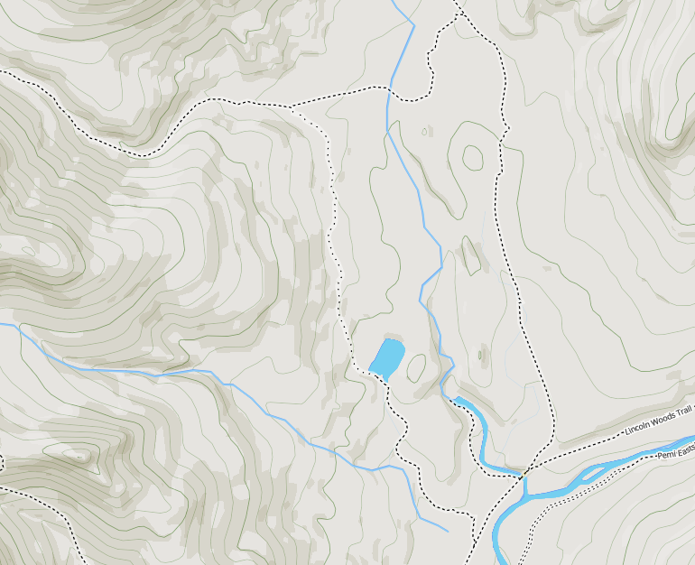
You can edit OSM using the Strava Slide editor and leverage the tons of tracks you see in the Strava Heatmap.
It creates a crapton of unnecessary points. For a trail that I manually defined with 7 points, identifying all major inflections, Slide used 30 points, nearly 4 times the data.
I've seen ways in OSM that were obviously traced from a single GPS track and defined using a bajillion points because the map-editor identified every single inflection (including obvious GPS cruft). Slide isn't nearly in this category of madness but it needs a "sensitivity adjustment" to avoid creating bloated ways.
Common bushwhack routes or hurd paths are fine in OSM. Having some data is better than nothing at all IMO.
That's fodder for a long and passionate discussion about mapping's role in wilderness ethics. Basically who decides what should be revealed on a map and is it always a good thing?
By explicitly identifying off-trail/bushwhack route on a map, you're effectively marketing it. What was once a navigational challenge is now exposed to a broad audience ... and will funnel more traffic to it. Effectively, you're taking some responsibility for the environmental impact.
It's a double-edged sword. If the goal is to reduce the impact of braided paths, then publishing a primary route may be a good thing. It may help to consolidate traffic to a narrower corridor. However, who makes this call? The land managers or the OSM map-editor?
In contrast, if a destination is to remain a challenge to one's navigational skills, then leaving it unmapped is preferable. Otherwise, the map becomes the digital equivalent of a flagged route ("dumbed down" with orange tape).
Acquiring someone else's GPS track, for the purpose of navigating to a remote location, involves a measure of intent and effort. In contrast, a map is a bulletin board that announces obscure routes to everyone. OpenStreetMap is the default "free map" on most backcountry navigation apps so a wide audience is almost guaranteed.
Some route planning tools do not follow the visibility tag so it seems like a good practice for now to not connect hard to follow paths to the trail network.
In an earlier post I had postulated this was the reason. I think you're fooling yourself into believing this dissuades people from exploring mapped bushwhack routes. Whether a routing engine can route (like BRouter) or can not route (like Graphhopper) along a "bad visibility" trail is moot. The entire bushwhack route is displayed for all to see on the map, plain as day, and that'll draw hikers to it.


